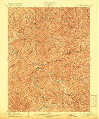
1925 Map of Burnsville
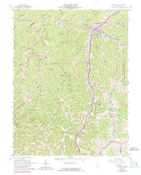
USGS Topo · Published 1964About this map
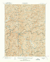
Burnsville stands at the confluence of the Kanawha River and Saltlick Creek, serving as a central hub for the Baltimore and Ohio RR as it winds through the central West Virginia hills. The map reveals a landscape defined by its rural density, where narrow creek valleys like Sand Fork and Little Kanawha River are punctuated by dozens of one-room schoolhouses, including St Bernards School and the remote Jerseywood School. These institutions, along with post offices like Bennett Kemper PO and Gem PO Coger, suggest a era of localized community life before the consolidation of mountain infrastructure.
Find a feature on this map
172 named features on this map. Tap any name to fly to it.
Don’t see what you’re looking for? This feature index may not catch every label — zoom into the map to look around manually.
Map Details
Editions of this 1925 Burnsville Map
This is the sole edition of this map. No revisions or reprints were ever made.
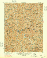
Historical Maps of Burnsville Through Time
5 maps found