
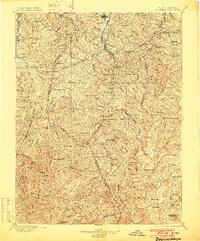
1896 Map of Buckhannon
USGS Topo · Published 1902About this map
Buckhannon serves as the focal point for this late 19th-century study of central West Virginia, where the West Virginia and Pittsburgh RR follows the meandering course of the Buckhannon River. The landscape is a complex network of high ridges like Turkey Bone Mtn and Beech Mtn, divided by the headwaters of the West Fork Monongahela River and the Middle Fork River.
Find a feature on this map
173 named features on this map. Tap any name to fly to it.
Don’t see what you’re looking for? This feature index may not catch every label — zoom into the map to look around manually.
Map Details
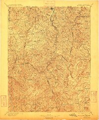
Editions of this 1896 Buckhannon Map
3 editions found
Other maps of this area

1886 · St. George
USGS Topo · 1:125,000

1889 · Nicholas
USGS Topo · 1:125,000

1889 · Beverly
USGS Topo · 1:125,000

1891 · Nicholas
USGS Topo · 1:125,000

1891 · Huntersville
USGS Topo · 1:125,000

1891 · St. George
USGS Topo · 1:125,000

1892 · Beverly
USGS Topo · 1:125,000

1893 · Buckhannon
USGS Topo · 1:125,000

1893 · Sutton
USGS Topo · 1:125,000

1894 · Huntersville
USGS Topo · 1:125,000