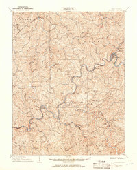
1908 Map of Gassaway
USGS Topo · Published 1908About this map
The Coal and Coke Railway winds through the heart of the central West Virginia hills on this 1908 survey, tracing a critical path along the Elk River. The settlement of Gassaway serves as a primary hub for this rail traffic, situated at a sharp bend in the river where it meets Little Otter Cr. The landscape is defined by its dense network of waterways and elevated knobs, which dictated the placement of small communities like Strange Creek, Villanova, and Belfont. Local history is preserved in the numerous named summits, such as Teeny Knob and Rattlesnake Knob, and the many tributary forks that supported early mountain life. This sheet captures a moment in the early 20th century when the extraction and transport of coal began to reshape the geography of the Birch and Otter districts.
Find a feature on this map
63 named features on this map. Tap any name to fly to it.
Don’t see what you’re looking for? This feature index may not catch every label — zoom into the map to look around manually.
Map Details
Editions of this 1908 Gassaway Map
This is the sole edition of this map. No revisions or reprints were ever made.
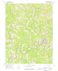
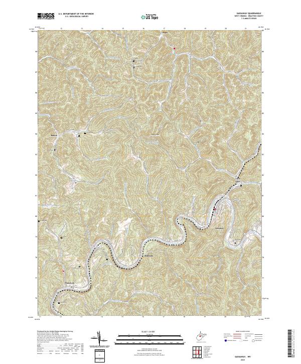
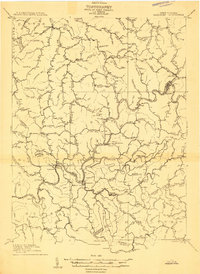
Historical Maps of Gassaway Through Time
4 maps found