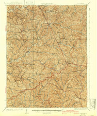
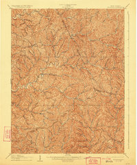
1906 Map of Holbrook
USGS Topo · Published 1906About this map
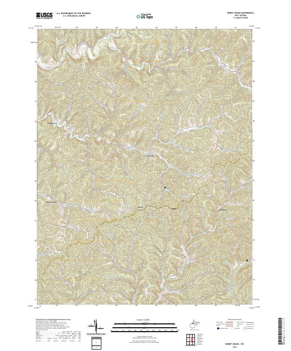
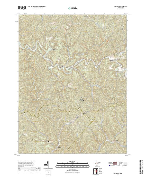
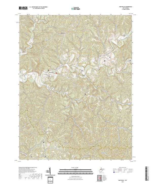
The Staunton and Parkersburg Pike cuts across the southern portion of this landscape, serving as a primary corridor for the communities of Burnt House, Newberne, and Coxs Mills. The terrain is defined by the complex drainage systems of the North Fork Hughes River and the South Fork Hughes River, where numerous small runs and creeks dictated the placement of early 20th-century settlements. Larger centers like Pullman and Auburn are situated near these watercourses, while smaller hubs like Oxford and Berea appear at key intersections and valley confluences. The map illustrates a rural society deeply connected to the topography, with county lines for Ritchie, Doddridge, and Gilmer counties winding along the high ridges that separate the various forks of the Hughes River.
Find a feature on this map
118 named features on this map. Tap any name to fly to it.
Don’t see what you’re looking for? This feature index may not catch every label — zoom into the map to look around manually.
Map Details
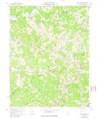
Editions of this 1906 Holbrook Map
2 editions found
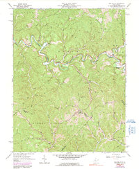
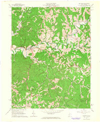
Historical Maps of Pullman Through Time
9 maps found