
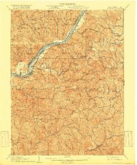
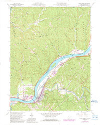
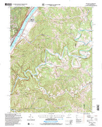
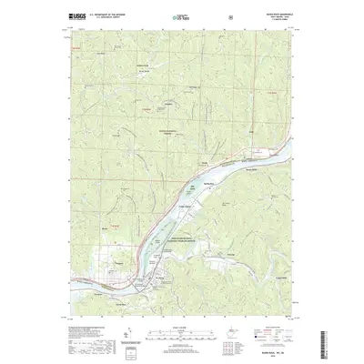
1924 Map of St Marys
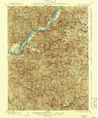
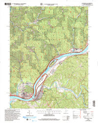
USGS Topo · Published 1956About this map
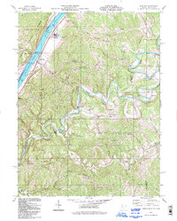
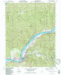
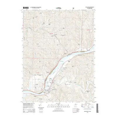
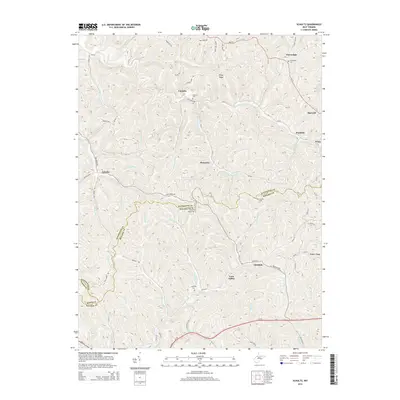
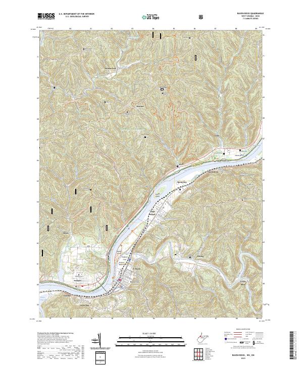
St Marys serves as the focal point along the eastern bank of the Ohio River, where the Baltimore and Ohio railroad follows the water's edge. The landscape is defined by the sharp transition from the river bottom to the deeply dissected ridges of Kings Ridge and Sheets Ridge. This 1924 revision reveals a rural West Virginia landscape heavily organized around local institutions, with an exceptional density of country schools like Union Mills School and Willow Island School serving small, dispersed communities.
Find a feature on this map
211 named features on this map. Tap any name to fly to it.
Don’t see what you’re looking for? This feature index may not catch every label — zoom into the map to look around manually.
Map Details
Editions of this 1924 St Marys Map
This is the sole edition of this map. No revisions or reprints were ever made.
Historical Maps of Newport Through Time
37 maps found
1906 St Marys
Pleasants County, WV
1924 St Marys
Pleasants County, WV
1927 St Marys
Pleasants County, WV
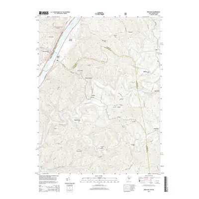
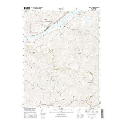
1957 Willow Island
Pleasants County, WV
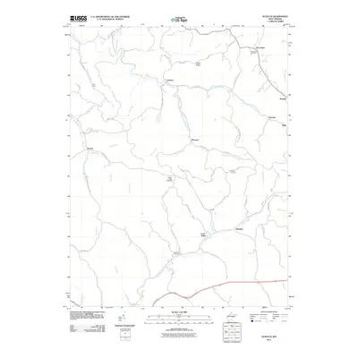
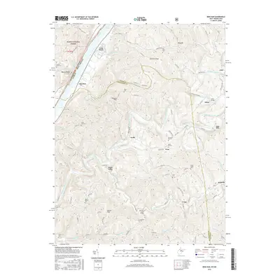
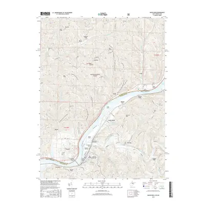
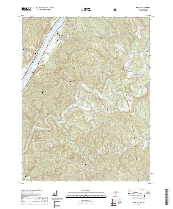
1960 Bens Run
Pleasants County, WV
1961 Raven Rock
Pleasants County, WV
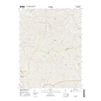
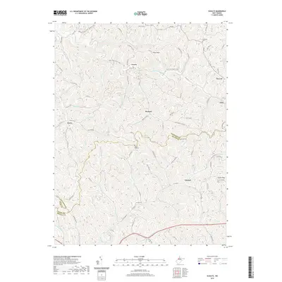
1961 Schultz
Pleasants County, WV
1975 Bens Run
Pleasants County, WV
1975 Raven Rock
Pleasants County, WV
1975 Schultz
Pleasants County, WV
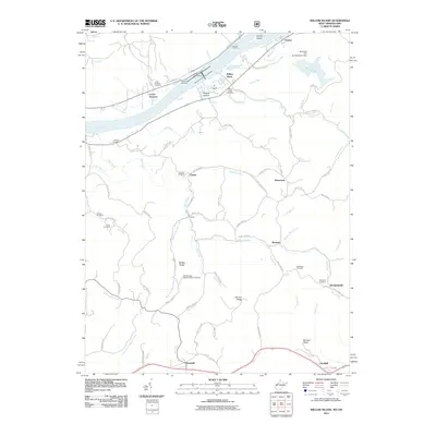
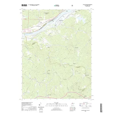
1976 Willow Island
Pleasants County, WV
1994 Bens Run
Pleasants County, WV
1994 Raven Rock
Pleasants County, WV

1994 Willow Island
Pleasants County, WV
2002 Bens Run
Pleasants County, WV
2002 Raven Rock
Pleasants County, WV

2002 Willow Island
Pleasants County, WV
2011 Bens Run
Pleasants County, WV
2011 Raven Rock
Pleasants County, WV
2011 Schultz
Pleasants County, WV
2011 Willow Island
Pleasants County, WV
2014 Bens Run
Pleasants County, WV
2014 Raven Rock
Pleasants County, WV
2014 Schultz
Pleasants County, WV
2014 Willow Island
Pleasants County, WV
2016 Bens Run
Pleasants County, WV
2016 Raven Rock
Pleasants County, WV
2016 Schultz
Pleasants County, WV
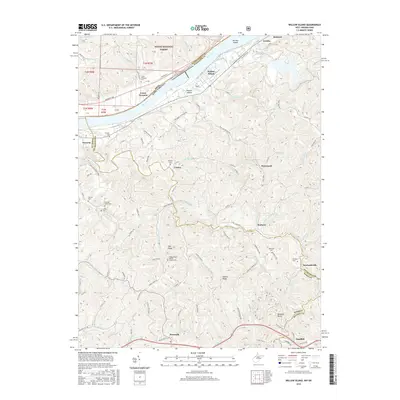
2016 Willow Island
Pleasants County, WV
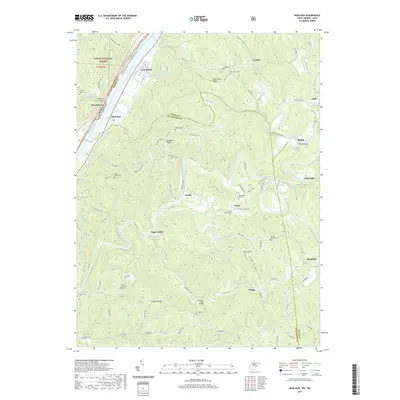
2019 Bens Run
Pleasants County, WV
2019 Raven Rock
Pleasants County, WV
2019 Schultz
Pleasants County, WV
2019 Willow Island
Pleasants County, WV
2023 Bens Run
Pleasants County, WV
2023 Raven Rock
Pleasants County, WV
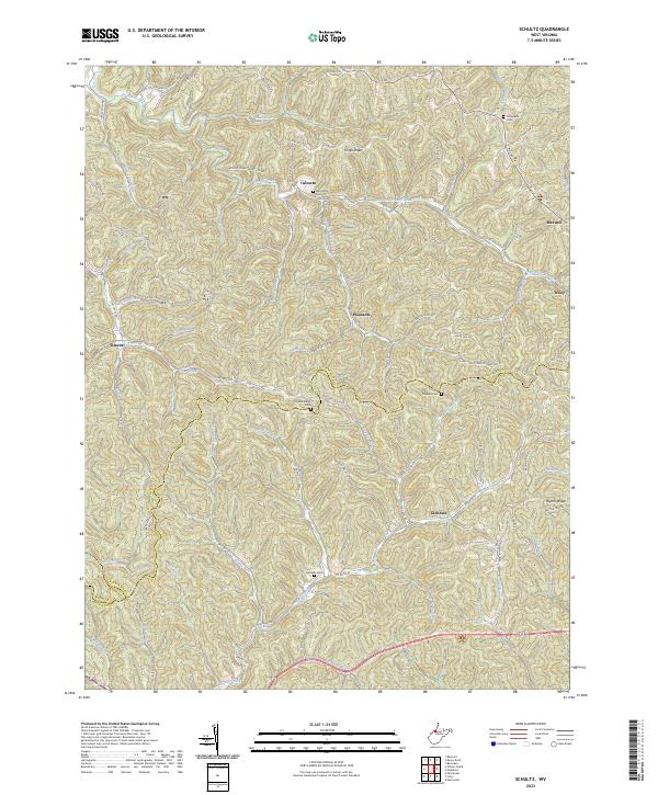
2023 Schultz
Pleasants County, WV
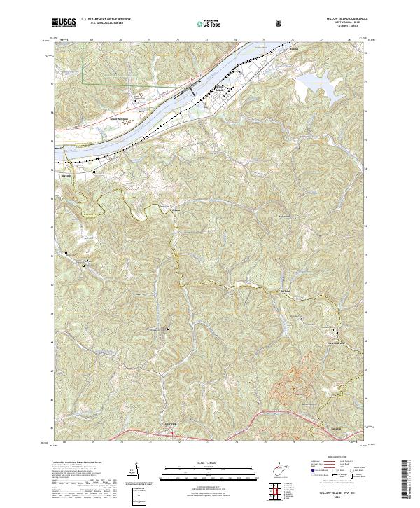
2023 Willow Island
Pleasants County, WV