
1925 Map of Vadis
USGS Topo · Published 1981About this map
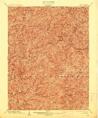
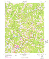
New Milton and the surrounding highlands of Doddridge and Lewis counties define the landscape of this 1925 cultural revision. The map documents a dense network of rural infrastructure during a period when small-scale schools and churches served as the primary social anchors for hollow-dwelling communities. Settlements like St Clara, Vadis, and Leopold are shown connected by winding mountain roads that follow the drainage of Leading Creek and Fink Creek.
Find a feature on this map
163 named features on this map. Tap any name to fly to it.
Don’t see what you’re looking for? This feature index may not catch every label — zoom into the map to look around manually.
Map Details
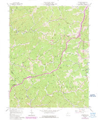
Editions of this 1925 Vadis Map
This is the sole edition of this map. No revisions or reprints were ever made.
Historical Maps of Miletus Through Time
15 maps found
1904 Vadis
Lewis County, WV
1925 Vadis
Lewis County, WV
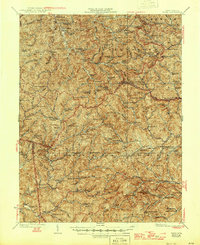
1927 Vadis
Lewis County, WV
1961 Berlin
Lewis County, WV
1964 Camden
Lewis County, WV
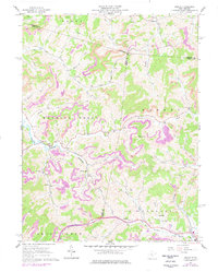
1964 Vadis
Lewis County, WV
1966 Peterson
Lewis County, WV
1966 Roanoke
Lewis County, WV
1966 Walkersville
Lewis County, WV
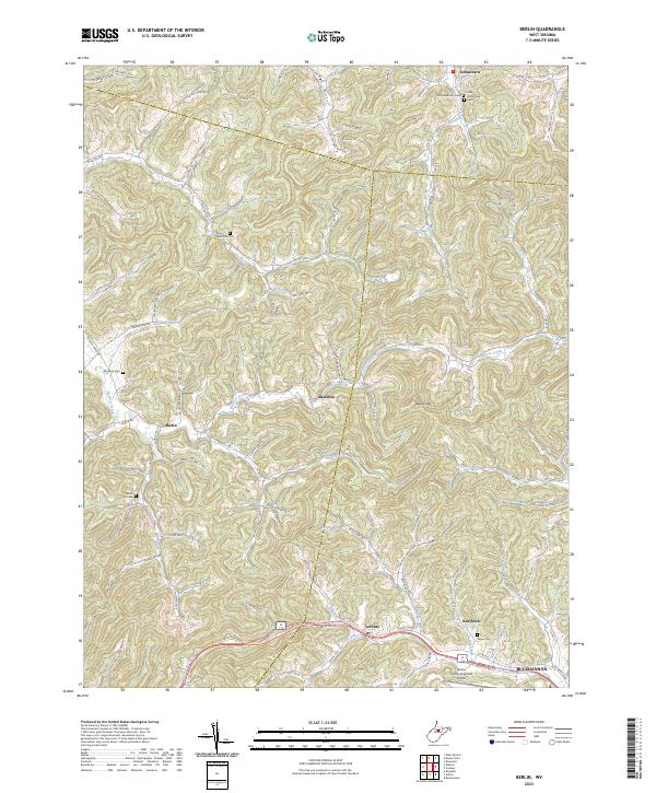
2023 Berlin
Lewis County, WV
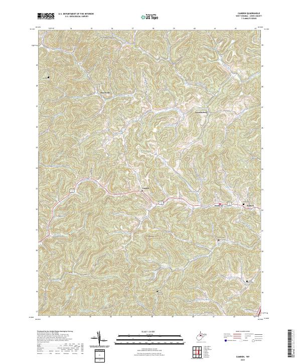
2023 Camden
Lewis County, WV
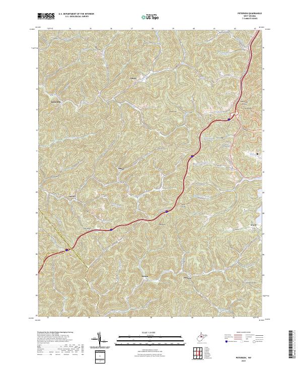
2023 Peterson
Lewis County, WV
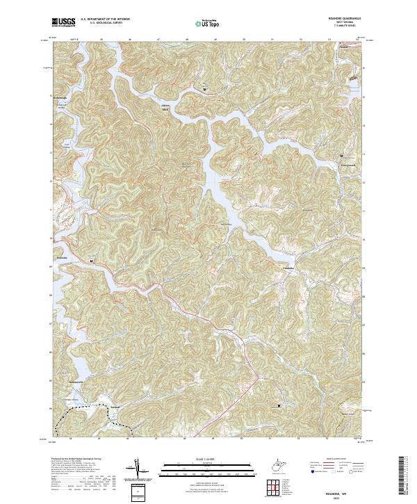
2023 Roanoke
Lewis County, WV
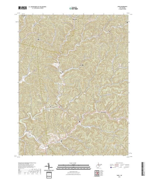
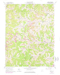
2023 Vadis
Lewis County, WV
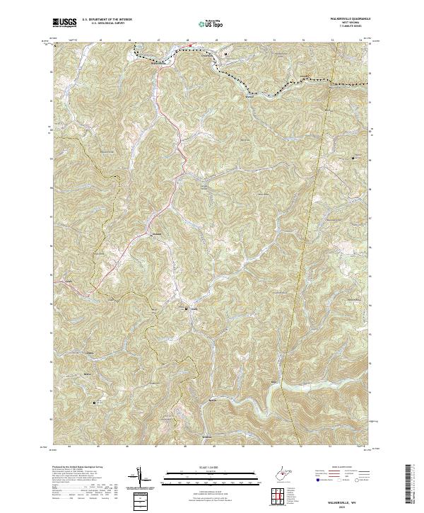
2023 Walkersville
Lewis County, WV