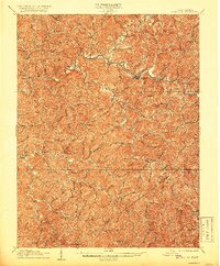
1925 Map of Glenville
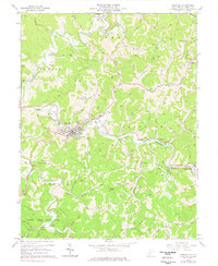
USGS Topo · Published 1962About this map
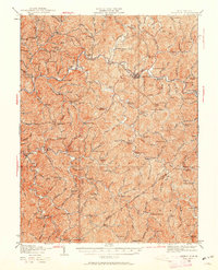
The Little Kanawha River meanders through the center of this terrain, serving as the primary geographic corridor for settlements like Glenville and Sand Fork. Revised in the mid-1920s from an earlier survey, the map illustrates a landscape densely punctuated by local institutions, particularly a remarkable concentration of rural schools such as the Cather School, Job Run School, and Lynch Run School. These institutions, often named for the specific creek or run they served, reflect a highly localized community structure before the widespread consolidation of the mid-20th century.
Find a feature on this map
161 named features on this map. Tap any name to fly to it.
Don’t see what you’re looking for? This feature index may not catch every label — zoom into the map to look around manually.
Map Details
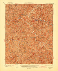
Editions of this 1925 Glenville Map
This is the sole edition of this map. No revisions or reprints were ever made.
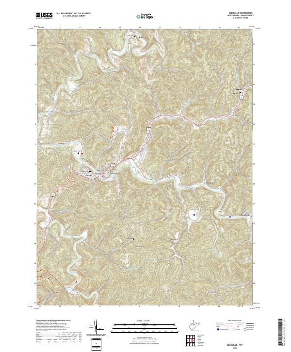
Historical Maps of Glenville Through Time
5 maps found