
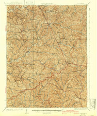
1926 Map of Holbrook
USGS Topo · Published 1926About this map
Pullman and Auburn anchor a landscape defined by the intricate branching of the South Fork Hughes River and its countless tributaries. This 1926 edition, based on earlier field work and 1924 cultural revisions by E.I. Ireland, reveals a dense network of mountain communities and family-named landmarks. The map illustrates a rural society organized around ridge-top and valley schools, such as the Coal Alum Fork School and Upper Newberne School, alongside centers of faith like Fairview Church and Mt Zion Church.
Find a feature on this map
113 named features on this map. Tap any name to fly to it.
Don’t see what you’re looking for? This feature index may not catch every label — zoom into the map to look around manually.
Map Details
Editions of this 1926 Holbrook Map
2 editions found
Other maps of this area

1893 · Sutton
USGS Topo · 1:125,000

1904 · Vadis
USGS Topo · 1:62,500

1905 · Centerpoint
USGS Topo · 1:62,500

1905 · West Union
USGS Topo · 1:62,500

1906 · Saint Marys
USGS Topo · 1:62,500

1906 · Holbrook
USGS Topo · 1:62,500

1906 · Glenville
USGS Topo · 1:62,500

1906 · Burnsville
USGS Topo · 1:62,500

1907 · Harrisville
USGS Topo · 1:62,500

1907 · Arnoldsburg
USGS Topo · 1:62,500