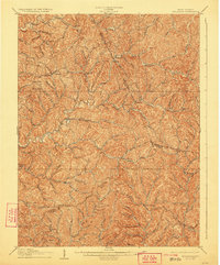
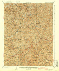
1924 Map of Holbrook
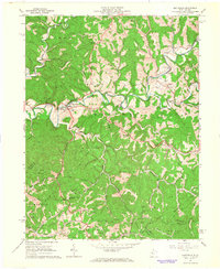
USGS Topo · Published 1961About this map
The Staunton Pike cuts through the rugged hill country of north-central West Virginia, serving as a primary artery for small farming communities and educational hubs. This 1924 revision of an earlier turn-of-the-century survey documents a landscape defined by an incredibly dense network of rural one-room schools, including Lower Lyncamp School and Upper Arnold Creek School, suggesting a highly localized social structure before school consolidation. The terrain is deeply dissected by the three forks of the North Fork Hughes River, South Fork Hughes River, and Middle Fork Hughes River. Small settlements such as Pullman, Auburn, and Berea are connected by winding valley roads, while the presence of family-named landmarks like King Knob and numerous churches like Mt Harmony Church provide a detailed look at the cultural geography of the Ritchie Co and Doddridge Co borderlands.
Find a feature on this map
147 named features on this map. Tap any name to fly to it.
Don’t see what you’re looking for? This feature index may not catch every label — zoom into the map to look around manually.
Map Details
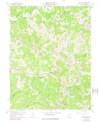
Editions of this 1924 Holbrook Map
This is the sole edition of this map. No revisions or reprints were ever made.
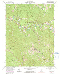
Historical Maps of Pullman Through Time
9 maps found