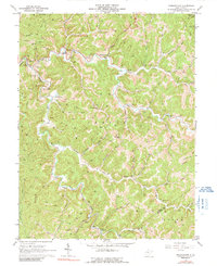
1966 Map of Normantown
USGS Topo · Published 1991About this map
Steer Creek and its many winding forks define this mid-1960s landscape in central West Virginia, where the terrain is dominated by an extensive network of gas wells and interconnecting pipelines. The small settlements of Normantown and Stumptown serve as local hubs, with Normantown featuring a High Sch and several nearby cemeteries, including the Mollahan Cem. This era shows a community deeply integrated into the extractive energy economy, evidenced by the dense placement of wells along ridges like Eliza Ridge and deep within the hollows of Left Fork and Right Fork.
Find a feature on this map
63 named features on this map. Tap any name to fly to it.
Don’t see what you’re looking for? This feature index may not catch every label — zoom into the map to look around manually.
Map Details
Editions of this 1966 Normantown Map
2 editions found
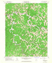
Other maps of this area

1893 · Sutton
USGS Topo · 1:125,000

1906 · Glenville
USGS Topo · 1:62,500

1906 · Otter
USGS Topo · 1:62,500

1907 · Otter
USGS Topo · 1:62,500

1907 · Arnoldsburg
USGS Topo · 1:62,500

1908 · Gassaway
USGS Topo · 1:48,000

1910 · Gassaway
USGS Topo · 1:62,500

1925 · Glenville
USGS Topo · 1:62,500

1925 · Arnoldsburg
USGS Topo · 1:62,500

1927 · Arnoldsburg
USGS Topo · 1:62,500