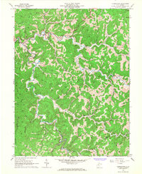
1966 Map of Normantown
USGS Topo · Published 1967About this map
Normantown and the surrounding hollows of the Steer Fork drainage are defined by a complex network of gas wells and pipelines, illustrating the mid-century energy landscape of central West Virginia. The terrain is deeply dissected, forcing settlements like Stumptown, Lockney, and Orton into narrow valleys along winding waterways such as Left Fork and Right Fork. For genealogists, the map is particularly detailed, locating family-named landmarks and resting places including the Elihu-Stump Cem, Meadows Cem, and Snakeroot Cem. Local community life is anchored by institutions like the High Sch in Normantown and rural congregations at Mt Pisgah Ch and Mt Carmel Ch. The presence of a Radio Tower and Compressor Station further highlights the intersection of traditional Appalachian settlement patterns with modern industrial infrastructure.
Find a feature on this map
58 named features on this map. Tap any name to fly to it.
Don’t see what you’re looking for? This feature index may not catch every label — zoom into the map to look around manually.
Map Details
Editions of this 1966 Normantown Map
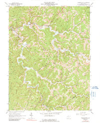
2 editions found
Other maps of this area

1893 · Sutton
USGS Topo · 1:125,000

1906 · Glenville
USGS Topo · 1:62,500

1906 · Otter
USGS Topo · 1:62,500

1907 · Otter
USGS Topo · 1:62,500

1907 · Arnoldsburg
USGS Topo · 1:62,500

1908 · Gassaway
USGS Topo · 1:48,000

1910 · Gassaway
USGS Topo · 1:62,500

1925 · Glenville
USGS Topo · 1:62,500

1925 · Arnoldsburg
USGS Topo · 1:62,500

1927 · Arnoldsburg
USGS Topo · 1:62,500