
1910 Map of Gassaway
USGS Topo · Published 1910About this map
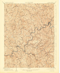
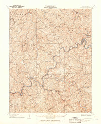
Birch River winds through the heart of Braxton County, serving as the central geographic feature of this 1908 survey. The landscape is defined by its industrial lifelines, most notably the Coal and Coke Ry which follows the river's curves to reach the regional hub of Gassaway. Along these tracks and waterways, numerous small post offices and stops like Villa Nova Duck PO, Strange Creek, and Astor Siding mark the sites of early twentieth-century commerce and community life.
Find a feature on this map
103 named features on this map. Tap any name to fly to it.
Don’t see what you’re looking for? This feature index may not catch every label — zoom into the map to look around manually.
Map Details
Editions of this 1910 Gassaway Map
3 editions found
Other maps of this area

1889 · Nicholas
USGS Topo · 1:125,000

1891 · Nicholas
USGS Topo · 1:125,000

1893 · Sutton
USGS Topo · 1:125,000

1897 · Kanawha Falls
USGS Topo · 1:125,000

1900 · Kanawha Falls
USGS Topo · 1:125,000

1901 · Nicholas
USGS Topo · 1:125,000

1901 · Kanawha Falls
USGS Topo · 1:125,000

1906 · Glenville
USGS Topo · 1:62,500

1906 · Burnsville
USGS Topo · 1:62,500

1906 · Otter
USGS Topo · 1:62,500