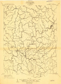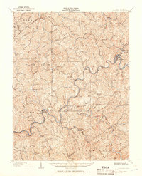
1910 Map of Gassaway
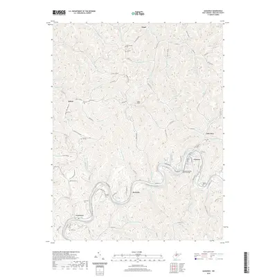
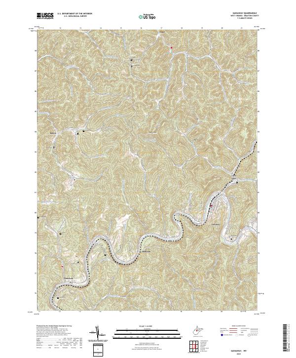
USGS Topo · Published 1951About this map
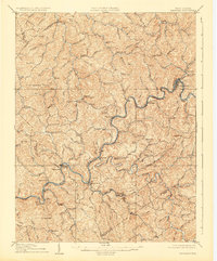
The Coal and Coke Ry snakes alongside the winding Elk River in this early twentieth-century survey of Braxton and Nicholas counties. The town of Gassaway serves as a primary hub for this rail-and-river corridor, where the landscape is defined by steep ridges and deep hollows. High points like Eli Taylor Knob and Rattlesnake Knob overlook a network of small settlements such as Frametown, Strange Creek, and Glendon. The map illustrates the region's transport-oriented development before the expansion of modern highways, showing how communities were positioned at the confluence of waterways like the Birch River and Little Birch River. For researchers, the level of detail reveals the proximity of family-named peaks such as Boar Knob and Coon Knob to the small river-bottom hamlets and the primary rail artery that connected these central West Virginia hills to the broader industrial economy.
Find a feature on this map
64 named features on this map. Tap any name to fly to it.
Don’t see what you’re looking for? This feature index may not catch every label — zoom into the map to look around manually.
Map Details
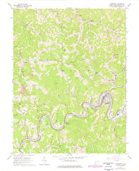
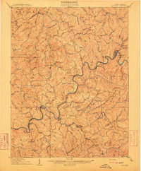
Editions of this 1910 Gassaway Map
3 editions found
Historical Maps of Gassaway Through Time
8 maps found