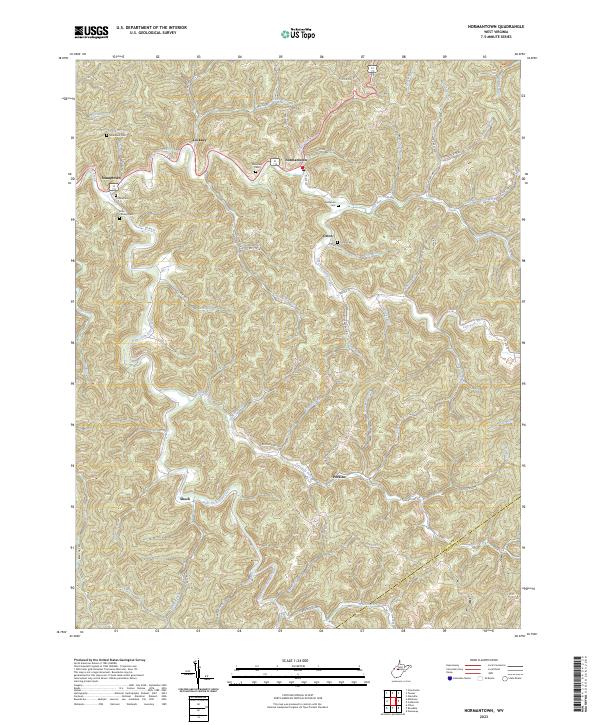
2023 Map of Gilmer
USGS Topo · Published 2023About this map
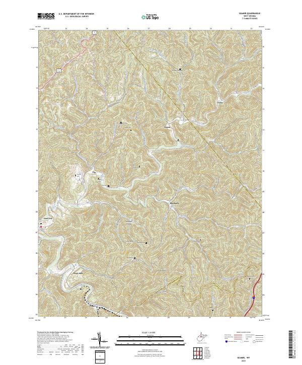
Stouts Mills and the nearby village of Sand Fork serve as focal points in this survey of central West Virginia. The landscape is defined by the winding course of the Sand Fork river and its numerous tributaries, including Ellis Creek and Butcher's Fork. The area's settlement pattern follows these narrow valley floors, where small communities and family farmsteads once centered their social life around rural burial grounds. Genealogists will find a high density of named cemeteries scattered across the ridges and hollows, such as McHenry Cem, Old Field Fork Cem, and Mick Cem. Significant elevation changes are marked by features like Locust Knob and the secluded Marshall Hollow, illustrating the difficult terrain that historical residents navigated. The map also records the intersection of Lewis and Braxton county lines, highlighting the region's jurisdictional boundaries.
Find a feature on this map
103 named features on this map. Tap any name to fly to it.
Don’t see what you’re looking for? This feature index may not catch every label — zoom into the map to look around manually.
Map Details
Editions of this 2023 Gilmer Map
This is the sole edition of this map. No revisions or reprints were ever made.
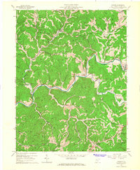
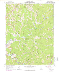
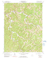
Historical Maps of Sand Fork Through Time
6 maps found