2020s Maps of Esty, West Virginia
Explore 1 historic maps of Esty from the 2020s. These maps offer a rare glimpse into what life looked like during the 2020s — showing old roads, neighborhoods, homes, and landmarks that have changed or disappeared over time.
Whether you're researching your family's past, planning a metal detecting trip, or studying how Esty's landscape evolved across the 2020s, these high-resolution maps are a powerful tool for exploring the history of this region.
- Focus on a specific era: All maps on this page are from the 2020s, giving you a focused view of this time period.
- See what’s changed: Compare century-old streets, trails, and buildings to today's modern landscape using overlays and satellite layers.
- Research with precision: Use these maps for genealogy, historical research, land use analysis, or educational projects.
- View, download, or print: Maps are fully viewable online in high resolution, and can be downloaded or printed for your own records.
Start exploring Esty's history through authentic maps from the 2020s. This is your window into the past.
Esty, WV maps
(1)- 2023 Map of Trout, 2023 Print
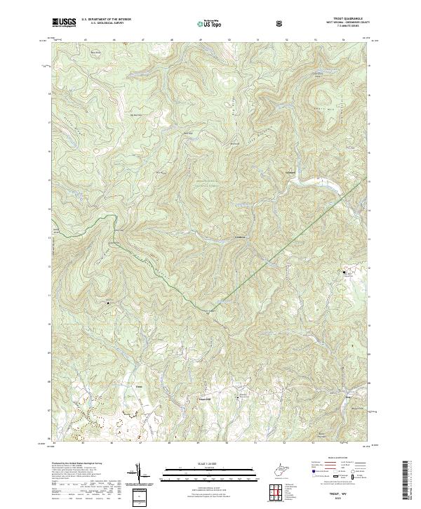 2023 Trout2023 Print · USGSGreenbrier County’s high country is documented here in recent years, showing a landscape where small settlements like Friars Hill and Trout meet the forest. Researchers can locate family landmarks such as McMillon Church Cem, New Ellis Chapel Cem, and the remote Cherry Low Place.
End of results
Showing maps 1-1 of 1
Top cities near Esty
- Lewisburg historical maps
- Richwood historical maps
- White Sulphur Springs historical maps
- Hillsboro historical maps
- Falling Spring historical maps
Frequently asked questions
- What are the different types of historical maps available for Esty?
- What is the oldest map of Esty?
- Where can I purchase historical maps of Esty for my home or office?
- Where can I download high-res historical maps of Esty?
- Are there historical topographic maps available for Esty?
- Is there historical aerial imagery available for Esty?
- Where are historical maps of Esty sourced from?