2000s (21st Century) Maps of South Charleston, West Virginia
Explore 10 historic maps of South Charleston from the 2000s (21st Century). These maps offer a rare glimpse into what life looked like during the 2000s — showing old roads, neighborhoods, homes, and landmarks that have changed or disappeared over time.
Whether you're researching your family's past, planning a metal detecting trip, or studying how South Charleston's landscape evolved across the 2000s, these high-resolution maps are a powerful tool for exploring the history of this region.
- Focus on a specific era: All maps on this page are from the 2000s, giving you a focused view of this time period.
- See what’s changed: Compare century-old streets, trails, and buildings to today's modern landscape using overlays and satellite layers.
- Research with precision: Use these maps for genealogy, historical research, land use analysis, or educational projects.
- View, download, or print: Maps are fully viewable online in high resolution, and can be downloaded or printed for your own records.
Start exploring South Charleston's history through authentic maps from the 2000s. This is your window into the past.
South Charleston, WV maps
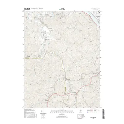
(10)- 2011 Map of Alum Creek, 2011 Print
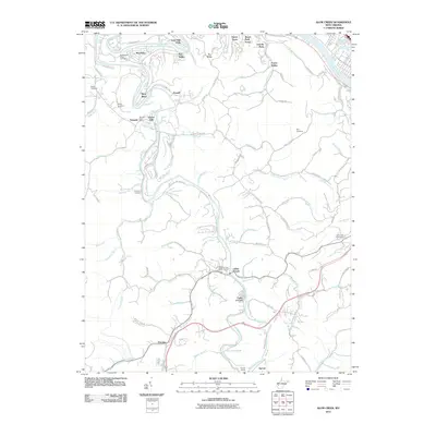 2011 Alum Creek2011 Print · USGSCovers South Charleston, including St. Albans, Dunbar, and other nearby areas
 - 2011 Map of Charleston West, 2011 Print
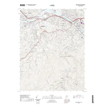
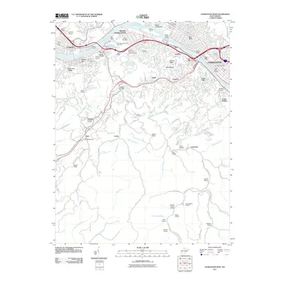 2011 Charleston West2011 Print · USGSCovers South Charleston, including Charleston, Dunbar, and other nearby areas
 - 2014 Map of Alum Creek, 2014 Print
 2014 Alum Creek2014 Print · USGSCovers South Charleston, including St. Albans, Dunbar, and other nearby areas
 - 2014 Map of Charleston West, 2014 Print
 2014 Charleston West2014 Print · USGSCovers South Charleston, including Charleston, Dunbar, and other nearby areas
 - 2016 Map of Charleston West, 2016 Print
 2016 Charleston West2016 Print · USGSCovers South Charleston, including Charleston, Dunbar, and other nearby areas
 - 2016 Map of Alum Creek, 2016 Print
 2016 Alum Creek2016 Print · USGSCovers South Charleston, including St. Albans, Dunbar, and other nearby areas
 - 2019 Map of Alum Creek, 2019 Print
 2019 Alum Creek2019 Print · USGSCovers South Charleston, including St. Albans, Dunbar, and other nearby areas
 - 2019 Map of Charleston West, 2019 Print
 2019 Charleston West2019 Print · USGSCovers South Charleston, including Charleston, Dunbar, and other nearby areas
 - 2023 Map of Alum Creek, 2023 Print
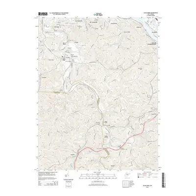
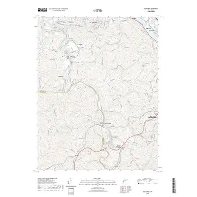
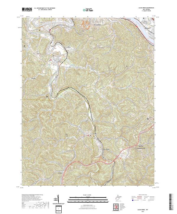 2023 Alum Creek2023 Print · USGSThe Coal River valley at the Kanawha and Lincoln County line comes into focus in this contemporary study of its ridges and reaches. Researchers can pinpoint several family burial grounds like Templeton Cem and Henley Cem or trace the river's path through Tornado and Forks of Coal.
 - 2023 Map of Charleston West, 2023 Print
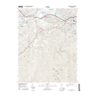
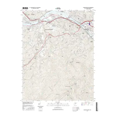
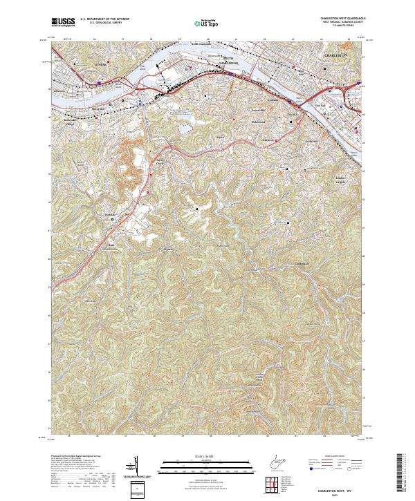 2023 Charleston West2023 Print · USGSGreater Charleston is mapped here at the height of its modern development, where the industrial Kanawha River meets the foothills of the Kanawha State Forest. Trace the urban expansion into South Hills or find family history at Grandview Memorial Cem and Watts Hill Cem.
End of results
Showing maps 1-10 of 10
Top cities near South Charleston
- Charleston historical maps
- St. Albans historical maps
- Saint Albans historical maps
- Dunbar historical maps
- Winfield historical maps
- Marmet historical maps
See more
Top neighborhoods of South Charleston
- Ruth historical maps
- Rock Lake Village historical maps
- Spring Hill historical maps
- Kenna Homes historical maps
- Weberwood historical maps
Frequently asked questions
- What are the different types of historical maps available for South Charleston?
- What is the oldest map of South Charleston?
- Where can I purchase historical maps of South Charleston for my home or office?
- Where can I download high-res historical maps of South Charleston?
- Are there historical topographic maps available for South Charleston?
- Is there historical aerial imagery available for South Charleston?
- Where are historical maps of South Charleston sourced from?