2000s (21st Century) Maps of White Chapel, West Virginia
Explore 6 historic maps of White Chapel from the 2000s (21st Century). These maps offer a rare glimpse into what life looked like during the 2000s — showing old roads, neighborhoods, homes, and landmarks that have changed or disappeared over time.
Whether you're researching your family's past, planning a metal detecting trip, or studying how White Chapel's landscape evolved across the 2000s, these high-resolution maps are a powerful tool for exploring the history of this region.
- Focus on a specific era: All maps on this page are from the 2000s, giving you a focused view of this time period.
- See what’s changed: Compare century-old streets, trails, and buildings to today's modern landscape using overlays and satellite layers.
- Research with precision: Use these maps for genealogy, historical research, land use analysis, or educational projects.
- View, download, or print: Maps are fully viewable online in high resolution, and can be downloaded or printed for your own records.
Start exploring White Chapel's history through authentic maps from the 2000s. This is your window into the past.
White Chapel, WV maps
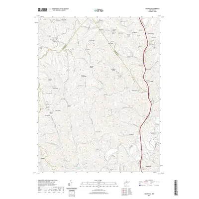
(6)- 2000 Map of Sissonville, 2001 Print
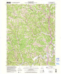 2000 Sissonville2001 Print · USGSThe Pocatalico River valley at the turn of the millennium remains a landscape of deep hollows and family-named ridges. Genealogists and historians can trace community roots through numerous country schools like Unexpected Sch and local landmarks such as Bonham Chapel and Goldtown.
 - 2011 Map of Sissonville, 2011 Print
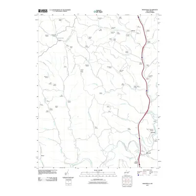 2011 Sissonville2011 Print · USGSCovers White Chapel, including Liberty, Loop, and other nearby areas
 - 2014 Map of Sissonville, 2014 Print
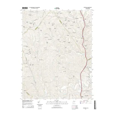 2014 Sissonville2014 Print · USGSCovers White Chapel, including Liberty, Loop, and other nearby areas
 - 2016 Map of Sissonville, 2016 Print
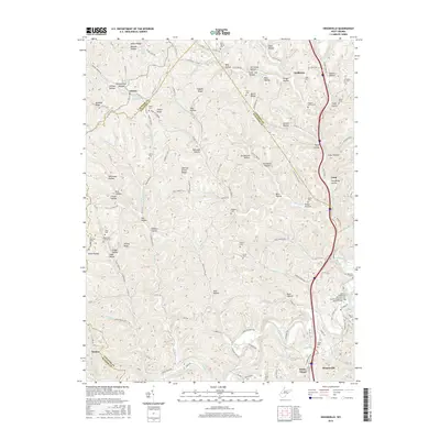 2016 Sissonville2016 Print · USGSCovers White Chapel, including Liberty, Loop, and other nearby areas
 - 2019 Map of Sissonville, 2019 Print
 2019 Sissonville2019 Print · USGSCovers White Chapel, including Liberty, Loop, and other nearby areas
 - 2023 Map of Sissonville, 2023 Print
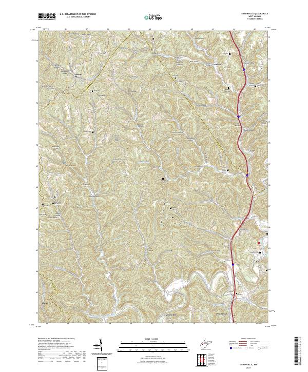 2023 Sissonville2023 Print · USGSThe Pocatalico River valley in the early 2020s reveals a landscape deeply etched by family history and rural community life across Kanawha County. Genealogists and local historians can locate numerous family burial sites, including Boggess Family Cem, while tracing the early footprints of Sissonville and Liberty.
End of results
Showing maps 1-6 of 6
Top cities near White Chapel
- Charleston historical maps
- South Charleston historical maps
- St. Albans historical maps
- Saint Albans historical maps
- Dunbar historical maps
- Winfield historical maps
See more
Frequently asked questions
- What are the different types of historical maps available for White Chapel?
- What is the oldest map of White Chapel?
- Where can I purchase historical maps of White Chapel for my home or office?
- Where can I download high-res historical maps of White Chapel?
- Are there historical topographic maps available for White Chapel?
- Is there historical aerial imagery available for White Chapel?
- Where are historical maps of White Chapel sourced from?