Old Maps of Weston, West Virginia for Hiking & Exploration
Hike through history with 13 historic maps of Weston. Explore old trails, ghost towns, and forgotten backroads — perfect for outdoor adventurers and local explorers.
- Rediscover forgotten places: Map out old mining camps, roads, and footpaths that no longer exist on modern maps.
- Layer with modern tools: Combine with LiDAR or satellite views to plan hikes through historical terrain.
- Made for exploration: Popular among hikers, overlanders, and local history lovers.
Use these maps to find adventure and explore the hidden past of Weston.
Weston, WV maps
(13)- 1904 Map of Weston
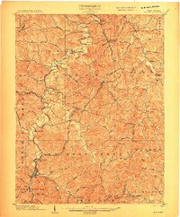 1904 Weston1904 Print · USGSWest Virginia's Lewis and Harrison counties at the start of the century show a region shaped by coal and steam. Genealogists and historians can trace family roots through early settlements like Jane Lew, identify operations at Lynch Mines, and locate the Dovener P.O. Dean.2 unique versions available
 - 1926 Map of Weston
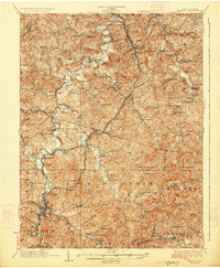 1926 Weston1926 Print · USGSWeston and the West Fork River valley are captured in the mid-twenties as the rail-and-river economy flourished. Genealogists and researchers can trace family-named sites like Jackson Mill, Romines Mills, and the Broad Run Church.4 unique versions available
 - 1949 Map of Clarksburg
 1949 Clarksburg1949 Print · USGSThe upper Ohio River valley and the industrial heart of West Virginia come into focus during this post-war period. Genealogists and researchers can trace the rail corridors of the Baltimore and Ohio and locate centers like Fairmont, Grafton, and Waynesburg.
 - 1956 Map of Clarksburg, 1966 Print
 1956 Clarksburg1966 Print · USGSThe Ohio River valley and the industrial heart of West Virginia are seen here in the mid-1950s as rail and river commerce thrived. Researchers can trace historic transport lines like the Baltimore and Ohio RR and locate ancestral homes in Clarksburg, Moundsville, or Parkersburg.2 unique versions available
 - 1961 Map of Clarksburg
 1961 Clarksburg1961 Print · USGSThe mid-century industrial and river landscapes of West Virginia and Ohio are detailed here, centered on the Ohio River. Researchers can trace the Baltimore and Ohio rail lines connecting towns like Parkersburg, Clarksburg, and Monongah.
 - 1961 Map of Weston, 1962 Print
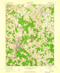 1961 Weston1962 Print · USGSWeston and the West Fork River valley are captured here in the early sixties as the regional rail economy and local industry shaped the hills of Lewis County. Researchers can locate family landmarks like Jackson Mill, the sprawling Weston State Hospital, and country burials such as Bush Cem.3 unique versions available
 - 1982 Map of Clarksburg, 1983 Print
 1982 Clarksburg1983 Print · USGSNorth Central West Virginia in the early eighties reveals a landscape deeply connected to its coal and gas resources. Genealogists and researchers can trace family landmarks and historical settlements from Clarksburg to Buckhannon, or locate sites like Quiet Dell and Watters Smith Memorial State Park.
 - 1988 Map of Clarksburg, 1989 Print
 1988 Clarksburg1989 Print · USGSThe central Appalachians are documented in detail during the late eighties, showing the industrial and river-based economies of West Virginia, Ohio, and Pennsylvania. Researchers can trace historic rail routes like the B & O RR and locate river towns from St Marys to Parkersburg.
 - 2011 Map of Weston, 2011 Print
 2011 Weston2011 Print · USGSCovers Weston, including Jane Lew, South Park Trailer Park, and other nearby areas
 - 2014 Map of Weston, 2014 Print
 2014 Weston2014 Print · USGSCovers Weston, including Jane Lew, South Park Trailer Park, and other nearby areas
 - 2016 Map of Weston, 2016 Print
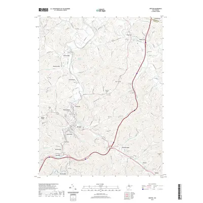
 2016 Weston2016 Print · USGSCovers Weston, including Jane Lew, South Park Trailer Park, and other nearby areas
 - 2019 Map of Weston, 2019 Print
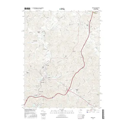
 2019 Weston2019 Print · USGSCovers Weston, including Jane Lew, South Park Trailer Park, and other nearby areas
 - 2023 Map of Weston, 2023 Print
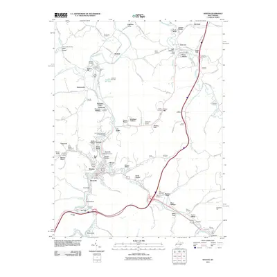
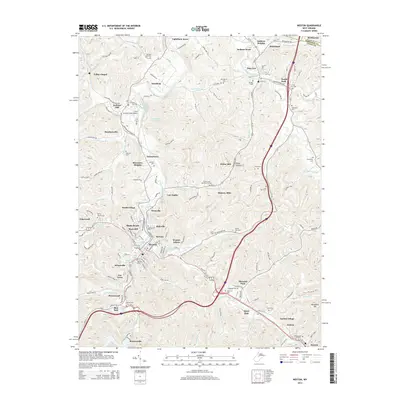
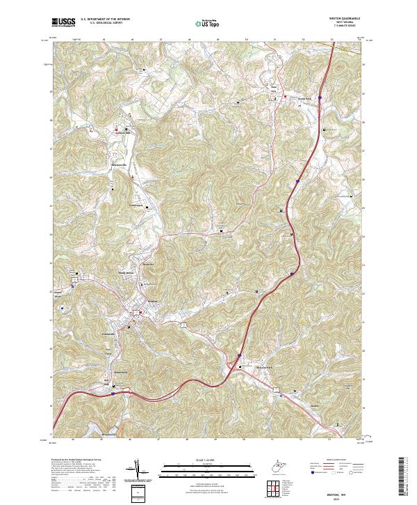 2023 Weston2023 Print · USGSWeston and the West Fork River valley are captured in this current-era survey of Lewis County. Researchers can pinpoint family-named landmarks and historic sites like Jackson Mill, the Lewis County Courthouse, and the sprawling Machpelah Cem.
End of results
Showing maps 1-13 of 13
Top cities near Weston
- Clarksburg historical maps
- Bridgeport historical maps
- Buckhannon historical maps
- Stonewood historical maps
- Nutter Fort historical maps
- Anmoore historical maps
See more
Top neighborhoods of Weston
- Smith Village historical maps
- Kitsonville historical maps
- Cox Town historical maps
- Haleville historical maps
- McGary historical maps
- Shady Brook historical maps
See more
Frequently asked questions
- What are the different types of historical maps available for Weston?
- What is the oldest map of Weston?
- Where can I purchase historical maps of Weston for my home or office?
- Where can I download high-res historical maps of Weston?
- Are there historical topographic maps available for Weston?
- Is there historical aerial imagery available for Weston?
- Where are historical maps of Weston sourced from?