Old Maps of Palermo, West Virginia for Academic Research
Study the evolution of Palermo with 14 high-resolution historic maps. Whether you're teaching, researching, or modeling changes in land use, these maps provide essential visual documentation of urban, environmental, and geographic change.
- Analyze long-term change: Track patterns in development, transportation, and natural features.
- Ideal for environmental or urban studies: Support academic projects with primary historical map data.
- Use in the classroom or lab: Educators and researchers rely on these maps to bring historical context to life.
These maps are a powerful tool for teaching, research, and visualizing how Palermo has changed over the decades.
Palermo, WV maps
(14)- 1892 Map of Huntington, 1895 Print
 1892 Huntington1895 Print · USGSWest Virginia and Ohio meet along the river in the late nineteenth century, showing the rail-fueled growth of Huntington and Wayne. Local historians can trace the paths of the Chesapeake and Ohio Railroad past Barboursville and find early landmarks like Blue Sulphur Sp's and Davis Mill.
 - 1898 Map of Huntington
 1898 Huntington1898 Print · USGSNear the turn of the century, the Ohio River valley was transforming through the expansion of the Chesapeake and Ohio RR. Modern researchers can trace early nineteenth-century settlements from the bustling streets of Huntington to the inland hubs of Hamlin and Barboursville.3 unique versions available
 - 1902 Map of Midkiff, 1925 Print
 1902 Midkiff1925 Print · USGSLincoln and Cabell Counties at the turn of the century show a region transitioning through the arrival of the railroad and the growth of river-valley commerce. Family historians can trace early property sites and communities like Milton, Hamlin, and the historic Blue Sulphur Springs along the Mud River corridor.
 - 1907 Map of Midkiff, 1964 Print
 1907 Midkiff1964 Print · USGSThe Guyandotte River valley is captured here in the early twentieth century, showing a network of small settlements and rail lines. Genealogists can trace family roots through labels like Laverne PO Brown City, Griffithsville, and Ranger.
 - 1909 Map of Midkiff
 1909 Midkiff1909 Print · USGSLincoln County at the turn of the century is defined by the winding Guyandot River and its accompanying rail line. Genealogists can trace early homesteads and post offices in communities like Griffithsville, Luzerne PO (Brown City), and Spurlockville.3 unique versions available
 - 1957 Map of Huntington, 1966 Print
 1957 Huntington1966 Print · USGSThe industrial heart of the Ohio River valley is captured here in the mid-sixties, showing the growth of Huntington and Ashland. Researchers can trace the extensive rail networks of the Chesapeake and Ohio RR and locate sites like the Chief Cornstalk Hunting Ground.3 unique versions available
 - 1960 Map of Huntington
 1960 Huntington1960 Print · USGSThe tri-state river valley thrived in the late fifties as a hub of heavy industry and Appalachian rail transit. Genealogists and historians can trace the connection between river towns like Ashland and Portsmouth or locate family homesteads near Coleman Ridge.
 - 1962 Map of Hager, 1964 Print
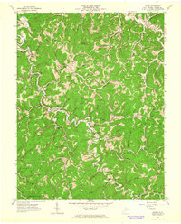 1962 Hager1964 Print · USGSLincoln County, West Virginia, is shown here in the early sixties as a landscape of rural hamlets and emerging energy production. Genealogists can trace family names at the Noah Sias Cem and Stowers Cem or locate community hubs like Bethel Ch and Griffithsville.
 - 1982 Map of Huntington, 1983 Print
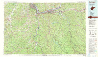 1982 Huntington1983 Print · USGSThe tri-state region around Huntington and Ashland is shown in the early 1980s, documenting a landscape shaped by river commerce and coal-country railroads. Trace family roots and old routes through Barboursville, the Gas Field, and the Tug Fork valley.
 - 2011 Map of Hager, 2011 Print
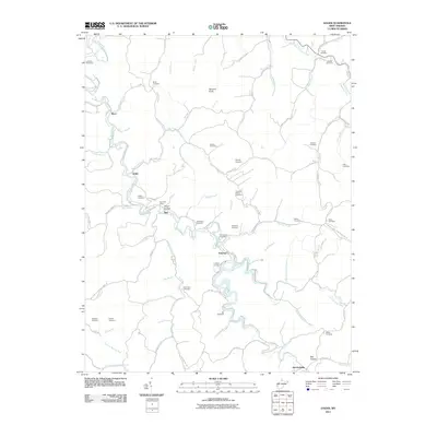 2011 Hager2011 Print · USGSLincoln County’s winding valleys and family-named ridges are shown in high detail during the early 2010s. Genealogists can trace family legacies across dozens of burial sites, including the Lovejoy Cemetery, Calloway Cemetery, and the Sias Post Office.
 - 2014 Map of Hager, 2014 Print
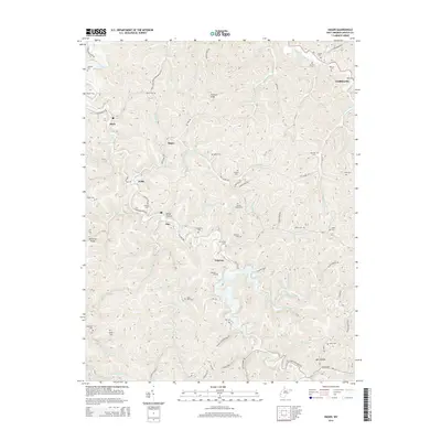 2014 Hager2014 Print · USGSLincoln County in the early 2010s reveals a landscape of deep valleys and family-named landmarks along the Mud River. Researchers can locate dozens of ancestral burial sites, including the Noah Sias Cem, Peck Cem, and Porter Cem near Myra.
 - 2016 Map of Hager, 2016 Print
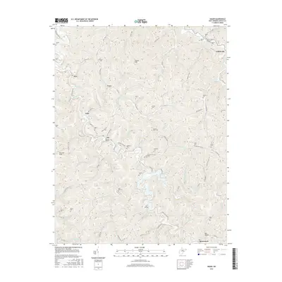 2016 Hager2016 Print · USGSLincoln County’s hollows and ridges come into sharp focus in this recent study of the West Virginia backcountry. Genealogists can trace family heritage through dozens of small burial grounds like Stowers-Adkins Cem, Goode Cem, and the riverside Hill Cem.
 - 2019 Map of Hager, 2019 Print
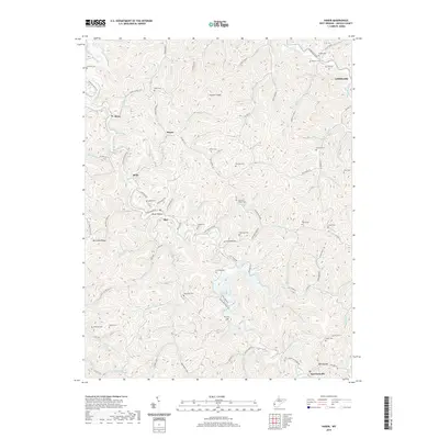 2019 Hager2019 Print · USGSLincoln County's ridge-and-valley landscape is documented here in the late 2010s, centered on the winding Mud River. Family historians can locate numerous upland burial sites, including the Goldsberry Cem, Lovejoy Cem, and Spears Cem near the Sias settlement.
 - 2023 Map of Hager, 2023 Print
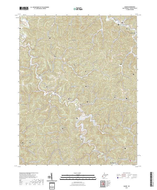 2023 Hager2023 Print · USGSLincoln County’s hollows and ridges are documented here in the early twenty-first century, showing the enduring settlement patterns of the West Virginia hills. Genealogists can locate family landmarks such as the Noah Sias Cem, Peck Cem, and the community of Griffithsville.
End of results
Showing maps 1-14 of 14
Top cities near Palermo
- St. Albans historical maps
- Saint Albans historical maps
- Hurricane historical maps
- Barboursville historical maps
- Madison historical maps
- Chapmanville historical maps
See more
Frequently asked questions
- What are the different types of historical maps available for Palermo?
- What is the oldest map of Palermo?
- Where can I purchase historical maps of Palermo for my home or office?
- Where can I download high-res historical maps of Palermo?
- Are there historical topographic maps available for Palermo?
- Is there historical aerial imagery available for Palermo?
- Where are historical maps of Palermo sourced from?