2000s (21st Century) Maps of Hartford City, West Virginia
Explore 15 historic maps of Hartford City from the 2000s (21st Century). These maps offer a rare glimpse into what life looked like during the 2000s — showing old roads, neighborhoods, homes, and landmarks that have changed or disappeared over time.
Whether you're researching your family's past, planning a metal detecting trip, or studying how Hartford City's landscape evolved across the 2000s, these high-resolution maps are a powerful tool for exploring the history of this region.
- Focus on a specific era: All maps on this page are from the 2000s, giving you a focused view of this time period.
- See what’s changed: Compare century-old streets, trails, and buildings to today's modern landscape using overlays and satellite layers.
- Research with precision: Use these maps for genealogy, historical research, land use analysis, or educational projects.
- View, download, or print: Maps are fully viewable online in high resolution, and can be downloaded or printed for your own records.
Start exploring Hartford City's history through authentic maps from the 2000s. This is your window into the past.
Hartford City, WV maps
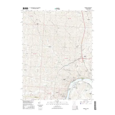
(15)- 2011 Map of New Haven, 2011 Print
 2011 New Haven2011 Print · USGSCovers Hartford City, including New Haven, Syracuse, and other nearby areas
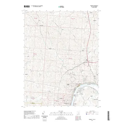
 - 2011 Map of Chester, 2011 Print
 2011 Chester2011 Print · USGSCovers Hartford City, including Chester, Pomeroy, and other nearby areas
 - 2011 Map of Pomeroy, 2011 Print
 2011 Pomeroy2011 Print · USGSCovers Hartford City, including Middleport, Pomeroy, and other nearby areas
 - 2013 Map of Pomeroy, 2013 Print
 2013 Pomeroy2013 Print · USGSCovers Hartford City, including Middleport, Pomeroy, and other nearby areas
 - 2013 Map of Chester, 2013 Print
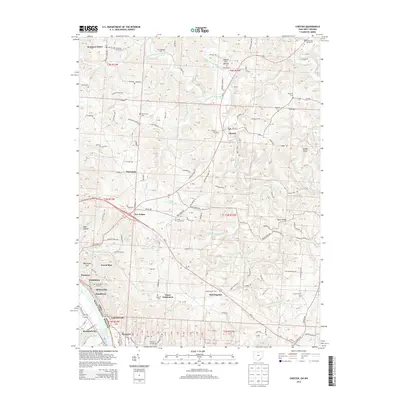 2013 Chester2013 Print · USGSCovers Hartford City, including Chester, Pomeroy, and other nearby areas
 - 2014 Map of New Haven, 2014 Print
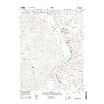 2014 New Haven2014 Print · USGSCovers Hartford City, including New Haven, Syracuse, and other nearby areas
 - 2016 Map of New Haven, 2016 Print
 2016 New Haven2016 Print · USGSCovers Hartford City, including New Haven, Syracuse, and other nearby areas
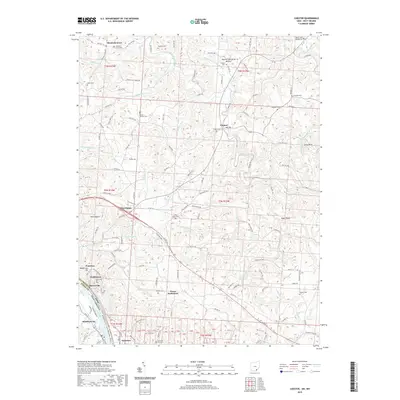
 - 2016 Map of Chester, 2016 Print
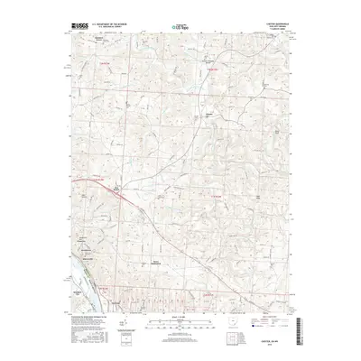 2016 Chester2016 Print · USGSCovers Hartford City, including Chester, Pomeroy, and other nearby areas
 - 2016 Map of Pomeroy, 2016 Print
 2016 Pomeroy2016 Print · USGSCovers Hartford City, including Middleport, Pomeroy, and other nearby areas
 - 2019 Map of Pomeroy, 2019 Print
 2019 Pomeroy2019 Print · USGSCovers Hartford City, including Middleport, Pomeroy, and other nearby areas
 - 2019 Map of Chester, 2019 Print
 2019 Chester2019 Print · USGSCovers Hartford City, including Chester, Pomeroy, and other nearby areas
 - 2019 Map of New Haven, 2019 Print
 2019 New Haven2019 Print · USGSCovers Hartford City, including New Haven, Syracuse, and other nearby areas
 - 2023 Map of Chester, 2023 Print
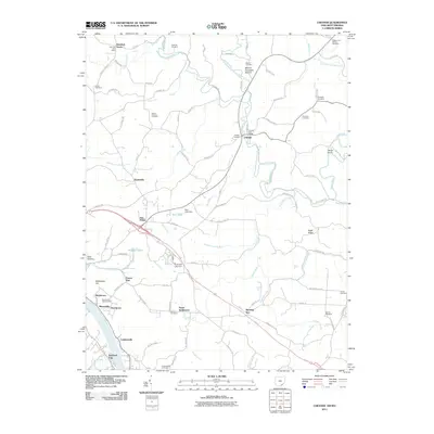
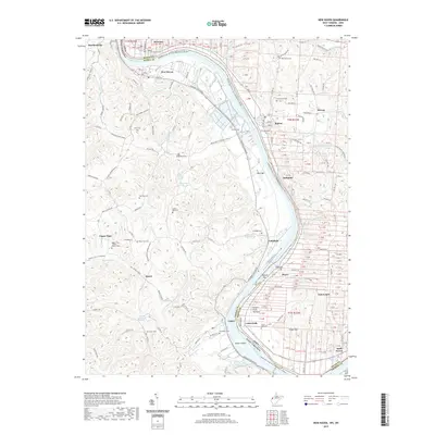
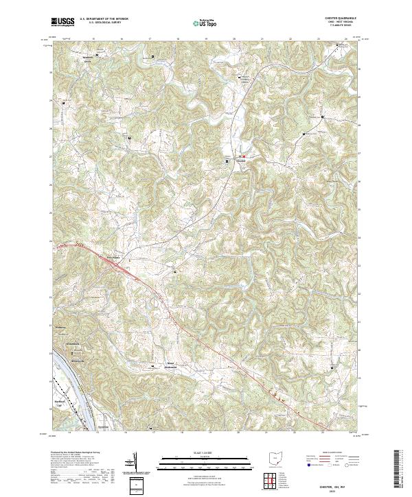 2023 Chester2023 Print · USGSThe Ohio River bend south of Meigs County comes to life in this recent study of the riverfront and its interior uplands. Genealogists can trace family names through numerous sites like Pine Grove Cem, Mount Herman Cem, and the historic Nease Settlement.
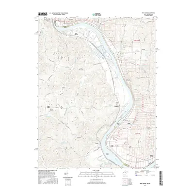
 - 2023 Map of New Haven, 2023 Print
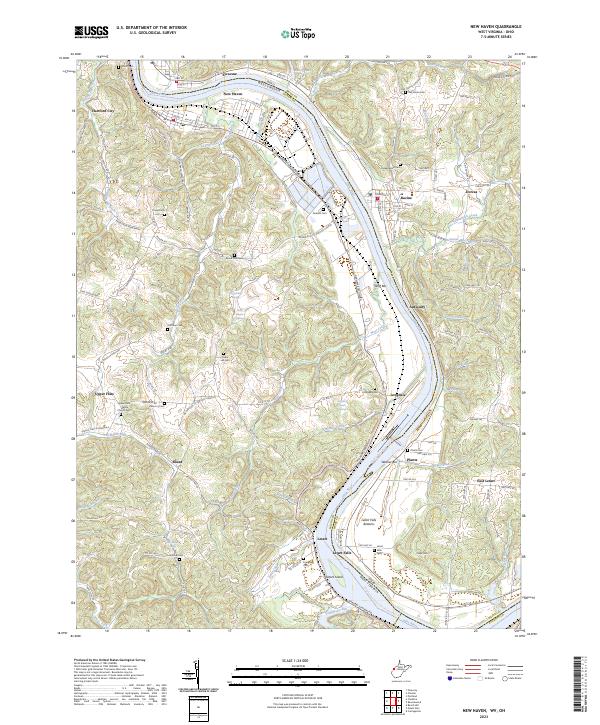 2023 New Haven2023 Print · USGSThe riverfront communities of Mason County and Meigs County are shown here in modern detail as they line the banks of the Ohio. Researchers can locate numerous local burial sites and landmarks like Upper Flats White Church Cem, Letart Falls, and the prominent Letart Island.
 - 2023 Map of Pomeroy, 2023 Print
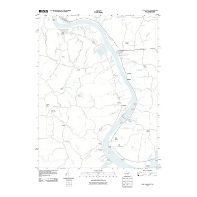
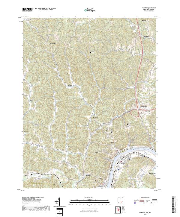 2023 Pomeroy2023 Print · USGSPomeroy and Middleport sit along the Ohio River in this recent survey of Meigs County. Genealogists can trace family burial sites at Saint Josephs Cem and Riverview Cem or locate the Meigs County Courthouse.
End of results
Showing maps 1-15 of 15
Top cities near Hartford City
- Point Pleasant historical maps
- Gallipolis historical maps
- Ravenswood historical maps
- Middleport historical maps
- Addison historical maps
- Chester historical maps
See more
Frequently asked questions
- What are the different types of historical maps available for Hartford City?
- What is the oldest map of Hartford City?
- Where can I purchase historical maps of Hartford City for my home or office?
- Where can I download high-res historical maps of Hartford City?
- Are there historical topographic maps available for Hartford City?
- Is there historical aerial imagery available for Hartford City?
- Where are historical maps of Hartford City sourced from?