Old Maps of Syracuse, Ohio
Explore 29 old maps of Syracuse, spanning from 1907 to today. These high-resolution historic maps reveal how streets, neighborhoods, landmarks, and natural features evolved over time — perfect for genealogy, metal detecting, research, and local history exploration.
What you can do with these maps:
- See how Syracuse changed over time: Compare historical maps to modern-day views to trace roads, homesites, rail lines & more.
- View detailed metadata: Each map includes creators, publishers, year, scale, and archive source.
- Overlay maps with satellite & LiDAR: Visualize the past alongside modern tools to explore terrain & human change.
- Trusted historical sources: Maps sourced from the USGS, Library of Congress, and other archives.
- Access maps your way: View online, download high-res files, or order prints for personal or research use.
Start exploring old maps of Syracuse to uncover forgotten places, hidden landmarks, and the deep history beneath your feet.
Syracuse, OH maps
(29)- 1907 Map of Keno, 1919 Print
 1907 Keno1919 Print · USGSMeigs County and the Ohio River valley appear in high detail just after the turn of the century, showing a landscape defined by river trade and rail. Researchers can trace family sites at Nease Settlement, find the Minersville PO, or locate old schools like Morningstar School and Redbrush School.3 unique versions available
 - 1908 Map of Ravenswood
 1908 Ravenswood1908 Print · USGSEarly 1900s life along the Ohio River comes alive in this survey of the West Virginia and Ohio borderlands. Genealogists and historians can trace family locations near landmarks like Antioch Church, Letart Falls, and the old K and M RR line.2 unique versions available
 - 1926 Map of Ravenswood
 1926 Ravenswood1926 Print · USGSThe Ohio River valley in the mid-1920s reveals a landscape of tight river bends and bustling waterfront towns like Ravenswood and Hartford. Researchers can trace the early rail network of the Baltimore and Ohio and locate numerous rural landmarks such as Jackson Chapel and the Mountain Flower School.
 - 1928 Map of Ravenswood
 1928 Ravenswood1928 Print · USGSThe Ohio River's great winding oxbows dominate the landscape in the late twenties, anchoring a world of river-town commerce and hilltop farming. Genealogists can trace hundreds of family-named landmarks, from the Mountain Flower School to the Antioch Church and the rails of the Baltimore & Ohio RR.3 unique versions available
 - 1949 Map of Clarksburg
 1949 Clarksburg1949 Print · USGSThe upper Ohio River valley and the industrial heart of West Virginia come into focus during this post-war period. Genealogists and researchers can trace the rail corridors of the Baltimore and Ohio and locate centers like Fairmont, Grafton, and Waynesburg.
 - 1954 Map of Charleston
 1954 Charleston1954 Print · USGSWest Virginia’s industrial heart and mountain highlands are captured here during the mid-fifties, centered on the capital city. Researchers can trace historic river-and-rail corridors along the Kanawha River and locate remote peaks within the Monongahela National Forest.
 - 1956 Map of Clarksburg, 1966 Print
 1956 Clarksburg1966 Print · USGSThe Ohio River valley and the industrial heart of West Virginia are seen here in the mid-1950s as rail and river commerce thrived. Researchers can trace historic transport lines like the Baltimore and Ohio RR and locate ancestral homes in Clarksburg, Moundsville, or Parkersburg.2 unique versions available
 - 1957 Map of Charleston, 1966 Print
 1957 Charleston1966 Print · USGSMid-century West Virginia unfolds along the industrial Kanawha River valley and into the high Allegheny Mountains. Genealogists and historians can trace the vital rail lines of the Chesapeake and Ohio and locate riverside settlements from Saint Albans to Buckhannon.3 unique versions available
 - 1958 Map of Charleston
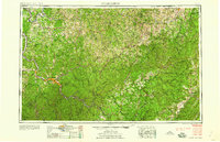 1958 Charleston1958 Print · USGSMid-century West Virginia is defined here by the industrial corridor of the Kanawha River and the high ridges of the Allegheny Mountains. Researchers can trace the rail networks of the New York Central or locate remote highland communities like Pickens and Hillsboro.
 - 1958 Map of New Haven, 1960 Print
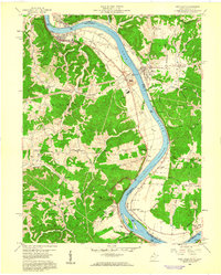 1958 New Haven1960 Print · USGSThe Ohio River bend south of Pomeroy was a bustling corridor of industry and tradition in the late fifties. Genealogists can locate family landmarks like Bachtel Ch and the Bumgarner Cem, while tracing the Baltimore and Ohio rail line.
 - 1960 Map of Chester, 1962 Print
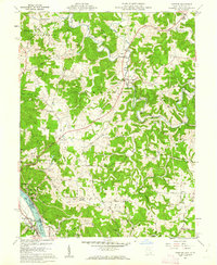 1960 Chester1962 Print · USGSMeigs County and the Ohio River riverfront thrived in the early sixties, balancing heavy industry with rural ridge-top life. Researchers can trace ancestral lands through family sites like Nease Settlement, the Welsh Town Cem, and the Chester Hill Country Club.4 unique versions available
 - 1961 Map of Clarksburg
 1961 Clarksburg1961 Print · USGSThe mid-century industrial and river landscapes of West Virginia and Ohio are detailed here, centered on the Ohio River. Researchers can trace the Baltimore and Ohio rail lines connecting towns like Parkersburg, Clarksburg, and Monongah.
 - 1961 Map of Charleston
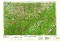 1961 Charleston1961 Print · USGSWest Virginia's capital region and the highlands to the east are shown in detail during the early sixties. Genealogists and historians can trace rail networks like the Baltimore and Ohio RR and find early state parks such as Watoga State Park.
 - 1968 Map of New Haven, 1969 Print
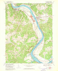 1968 New Haven1969 Print · USGSThe Ohio River corridor comes alive in the late sixties as industrial hubs like New Haven and Graham Station sit alongside ancient landmarks. Genealogists and historians can trace family burial sites at Evergreen Cem or locate the Indian Mound and the Racine Locks and Dam.3 unique versions available
 - 1981 Map of Parkersburg, 1984 Print
 1981 Parkersburg1984 Print · USGSThe Ohio River valley at the start of the 1980s reveals a landscape shaped by river commerce and the rail networks of the Baltimore and Ohio RR. Genealogists and historians can trace the development of riverfront communities like Parkersburg, Marietta, and Williamstown, alongside rural landmarks like Blennerhassett Island and Elizabeth.
 - 1984 Map of Ripley
 1984 Ripley1984 Print · USGSThe West Virginia riverfront and interior highlands are captured here in the mid-eighties as energy production reshaped the landscape. Researchers can trace the Ohio River industrial corridor through Ravenswood or locate smaller inland communities like Gandeeville and Reedy.
 - 1988 Map of Clarksburg, 1989 Print
 1988 Clarksburg1989 Print · USGSThe central Appalachians are documented in detail during the late eighties, showing the industrial and river-based economies of West Virginia, Ohio, and Pennsylvania. Researchers can trace historic rail routes like the B & O RR and locate river towns from St Marys to Parkersburg.
 - 1994 Map of New Haven, 1998 Print
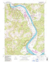 1994 New Haven1998 Print · USGSThe Ohio River corridor comes alive in the 1990s, showcasing the industrial and maritime infrastructure of Mason and Meigs counties. Genealogists and local historians can trace family-named sites like Evergreen Cem and Hoffman Cem alongside the massive Racine Locks and Dam.
 - 1994 Map of Chester, 1998 Print
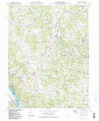 1994 Chester1998 Print · USGSMeigs County riverside and hill country are captured here in the mid-1990s as the river economy transitions. Genealogists can locate family sites at the Nease Settlement or the Welsh Town, and trace rural landmarks like Pine Grove Cem and St Johns Ch.
 - 2011 Map of New Haven, 2011 Print
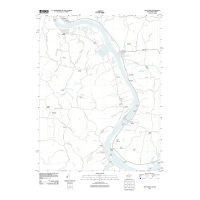 2011 New Haven2011 Print · USGSLife along the riverfront in Mason County comes into focus in this modern survey of the river-bend valley. Researchers can trace family history through numerous burial grounds like Union Cemetery and Yonker Cemetery or locate historic river access points such as Widow Parr Landing.
 - 2011 Map of Chester, 2011 Print
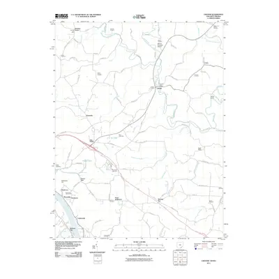 2011 Chester2011 Print · USGSMeigs County at the start of the 2010s shows a landscape of river-valley settlements and upland ridge roads. Researchers can trace family sites from Nease Settlement to Minersville and locate numerous burial grounds like Mound Cemetery and Sutton Cemetery.
 - 2013 Map of Chester, 2013 Print
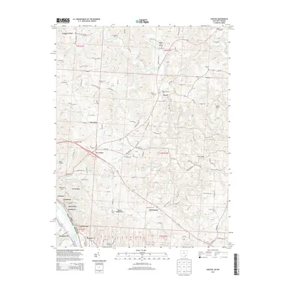 2013 Chester2013 Print · USGSThe Ohio River valley in Meigs County was a bustling corridor of mining and river trade at the turn of the millennium. Genealogists and local historians can trace family roots through numerous burial sites like Mound Cem and Minersville Hill Cem or explore the riverfront settlements of Syracuse and Minersville.
 - 2014 Map of New Haven, 2014 Print
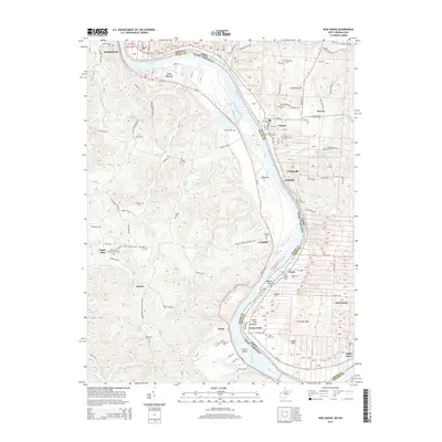 2014 New Haven2014 Print · USGSThe riverfront communities of Mason County and Meigs County are shown here as they appeared in the early 21st century. Genealogists and local historians can trace rural family landmarks like the Upper Flats White Church, Hoffman Cem, and the settlement at Letart Falls.
 - 2016 Map of New Haven, 2016 Print
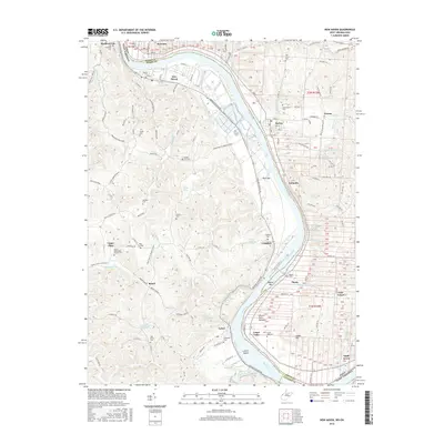 2016 New Haven2016 Print · USGSThe Ohio River valley along the Mason County border is captured here in detail, showing a landscape defined by historic river towns and family cemeteries. Genealogists and researchers can trace local roots at the Old Hartford Cem, Letart Falls Cem, and the rural settlement of Antiquity.
 - 2016 Map of Chester, 2016 Print
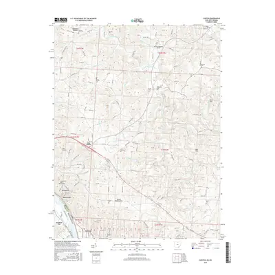 2016 Chester2016 Print · USGSSoutheast Ohio's river-driven economy and hill-country settlements are captured here in the mid-2010s. Local researchers can identify numerous burial grounds and family landmarks, from Mound Cemetery to the riverside communities of Minersville and Nease Settlement.
Showing maps 1-25 of 29
Top cities near Syracuse
- Point Pleasant historical maps
- Gallipolis historical maps
- Ravenswood historical maps
- Middleport historical maps
- Addison historical maps
- Chester historical maps
See more
Frequently asked questions
- What are the different types of historical maps available for Syracuse?
- What is the oldest map of Syracuse?
- Where can I purchase historical maps of Syracuse for my home or office?
- Where can I download high-res historical maps of Syracuse?
- Are there historical topographic maps available for Syracuse?
- Is there historical aerial imagery available for Syracuse?
- Where are historical maps of Syracuse sourced from?