Old Maps of Leon, West Virginia for Metal Detecting
Plan your next treasure hunt with 16 historic maps of Leon. Find old homesites, ghost towns, trails, and gathering spots that may be lost to time — perfect for identifying promising metal detecting locations.
- Locate forgotten sites: Uncover places like long-lost settlements, abandoned rail lines, or gathering spots.
- Plan better hunts: Use map overlays combined with LiDAR or satellite views to narrow in on historically rich areas.
- Made for detectorists: Thousands of hobbyists use these maps to discover relics, coins, and hidden history.
Use these historic maps to boost your research and find new opportunities beneath the surface of Leon.
Leon, WV maps
(16)- 1906 Map of Winfield, 1961 Print
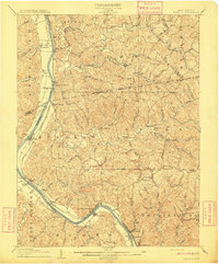
 1906 Winfield1961 Print · USGSThe Kanawha River valley at the turn of the century shows a landscape defined by river locks and the growing influence of the railroad. Genealogists and historians can trace old homesteads and landings from Redhouse Shoals to the small village of Confidence.
 - 1908 Map of Winfield
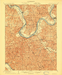
 1908 Winfield1908 Print · USGSThe Kanawha River valley at the turn of the century shows a landscape defined by river traffic and rail expansion. Genealogists and historians can trace riverside settlements like Winfield and Buffalo, or find lost rail stops and river locks including Lock No 10 and Black Betsey.3 unique versions available
 - 1908 Map of Ravenswood
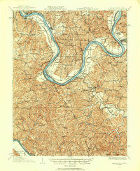
 1908 Ravenswood1908 Print · USGSEarly 1900s life along the Ohio River comes alive in this survey of the West Virginia and Ohio borderlands. Genealogists and historians can trace family locations near landmarks like Antioch Church, Letart Falls, and the old K and M RR line.2 unique versions available
 - 1926 Map of Ravenswood
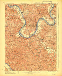
 1926 Ravenswood1926 Print · USGSThe Ohio River valley in the mid-1920s reveals a landscape of tight river bends and bustling waterfront towns like Ravenswood and Hartford. Researchers can trace the early rail network of the Baltimore and Ohio and locate numerous rural landmarks such as Jackson Chapel and the Mountain Flower School.
 - 1928 Map of Ravenswood
 1928 Ravenswood1928 Print · USGSThe Ohio River's great winding oxbows dominate the landscape in the late twenties, anchoring a world of river-town commerce and hilltop farming. Genealogists can trace hundreds of family-named landmarks, from the Mountain Flower School to the Antioch Church and the rails of the Baltimore & Ohio RR.3 unique versions available
 - 1954 Map of Charleston
 1954 Charleston1954 Print · USGSWest Virginia’s industrial heart and mountain highlands are captured here during the mid-fifties, centered on the capital city. Researchers can trace historic river-and-rail corridors along the Kanawha River and locate remote peaks within the Monongahela National Forest.
 - 1957 Map of Charleston, 1966 Print
 1957 Charleston1966 Print · USGSMid-century West Virginia unfolds along the industrial Kanawha River valley and into the high Allegheny Mountains. Genealogists and historians can trace the vital rail lines of the Chesapeake and Ohio and locate riverside settlements from Saint Albans to Buckhannon.3 unique versions available
 - 1958 Map of Charleston
 1958 Charleston1958 Print · USGSMid-century West Virginia is defined here by the industrial corridor of the Kanawha River and the high ridges of the Allegheny Mountains. Researchers can trace the rail networks of the New York Central or locate remote highland communities like Pickens and Hillsboro.
 - 1958 Map of Mount Alto, 1960 Print
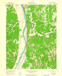
 1958 Mount Alto1960 Print · USGSNear the confluence of the Ohio and Kanawha Rivers in the late fifties, this Mason County landscape preserves a network of ridgeline farms and rural crossroads. Genealogists can trace family landmarks like Mt Zion Cem, Shiloh Church Hill Sch, and the riverside settlement at Mount Alto.4 unique versions available
 - 1958 Map of Robertsburg, 1960 Print
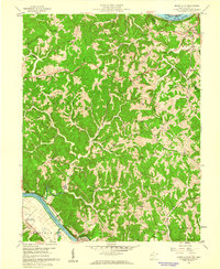
 1958 Robertsburg1960 Print · USGSThe Kanawha River valley during the late 1950s reveals a landscape of ridge-top farms and riverbank rail towns. Researchers can trace ancestral locations near Grimms Landing, Manila, and country landmarks like Kimberling Cem or Riffle Chapel.3 unique versions available
 - 1961 Map of Charleston
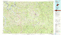
 1961 Charleston1961 Print · USGSWest Virginia's capital region and the highlands to the east are shown in detail during the early sixties. Genealogists and historians can trace rail networks like the Baltimore and Ohio RR and find early state parks such as Watoga State Park.
 - 1977 Map of Robertsburg, 1979 Print
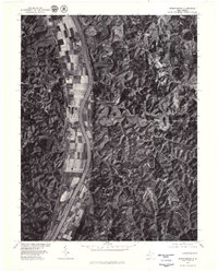 1977 Robertsburg1979 Print · USGSAlong the Kanawha River in the late seventies, this aerial survey documents a landscape of productive bottomland farms and wooded ridges. Genealogists and local historians can pinpoint specific rural homesteads in Robertsburg, Southside, and Leon.
 - 1984 Map of Ripley
 1984 Ripley1984 Print · USGSThe West Virginia riverfront and interior highlands are captured here in the mid-eighties as energy production reshaped the landscape. Researchers can trace the Ohio River industrial corridor through Ravenswood or locate smaller inland communities like Gandeeville and Reedy.
 - 1994 Map of Mount Alto, 1998 Print
 1994 Mount Alto1998 Print · USGSThe river valleys and ridge-top communities of Mason County were still deeply rural in the late twentieth century. Genealogists can trace family footprints across landmarks like Beech Hill, Mt Moriah Ch, and the remote Bearwallow Sch.
 - 2023 Map of Robertsburg, 2023 Print
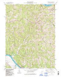
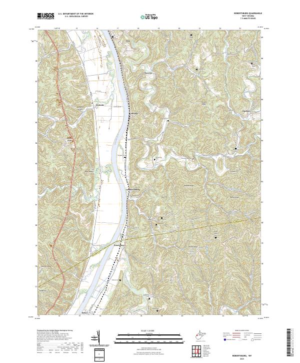 2023 Robertsburg2023 Print · USGSThe Kanawha River valley and its surrounding ridges in Mason County are captured here in the early 2020s. Genealogists can locate family burial sites such as Atkeson Cem and Kimberling Cem or trace early settlements like Grimms Landing and Robertsburg.
 - 2023 Map of Mount Alto, 2023 Print
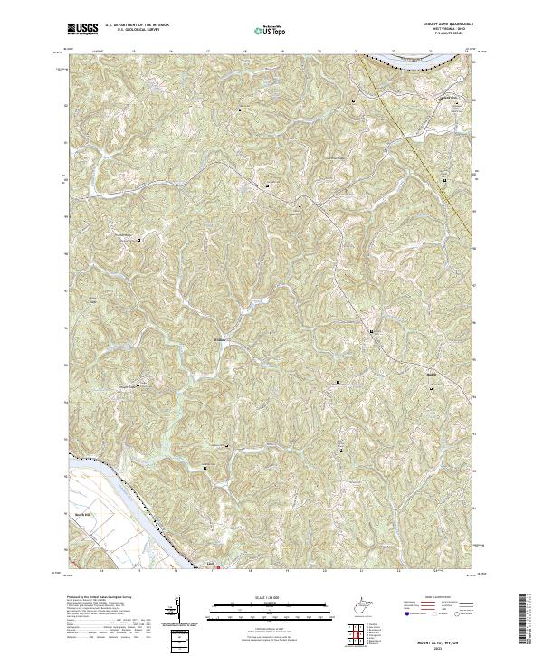 2023 Mount Alto2023 Print · USGSThe hill country of Jackson and Mason counties appears in extensive detail in this contemporary study of the Ohio River hinterlands. Researchers can trace family history through a high density of rural landmarks, including Mount Zion Cem, Jenkins Cem, and the settlement of Baden.
End of results
Showing maps 1-16 of 16
Top cities near Leon
- Point Pleasant historical maps
- Gallipolis historical maps
- Ravenswood historical maps
- Ripley historical maps
- Addison historical maps
- Winfield historical maps
See more
Frequently asked questions
- What are the different types of historical maps available for Leon?
- What is the oldest map of Leon?
- Where can I purchase historical maps of Leon for my home or office?
- Where can I download high-res historical maps of Leon?
- Are there historical topographic maps available for Leon?
- Is there historical aerial imagery available for Leon?
- Where are historical maps of Leon sourced from?