Old Maps of Upland, West Virginia
Explore 11 old maps of Upland, spanning from 1906 to today. These high-resolution historic maps reveal how streets, neighborhoods, landmarks, and natural features evolved over time — perfect for genealogy, metal detecting, research, and local history exploration.
What you can do with these maps:
- See how Upland changed over time: Compare historical maps to modern-day views to trace roads, homesites, rail lines & more.
- View detailed metadata: Each map includes creators, publishers, year, scale, and archive source.
- Overlay maps with satellite & LiDAR: Visualize the past alongside modern tools to explore terrain & human change.
- Trusted historical sources: Maps sourced from the USGS, Library of Congress, and other archives.
- Access maps your way: View online, download high-res files, or order prints for personal or research use.
Start exploring old maps of Upland to uncover forgotten places, hidden landmarks, and the deep history beneath your feet.
Upland, WV maps
(11)- 1906 Map of Glenwood, 1958 Print
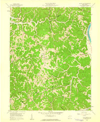
 1906 Glenwood1958 Print · USGSThe Ohio River valley was a bustling corridor of steam and rail at the start of the 1900s, anchoring the border between Mason County and Ohio. Researchers can trace riverside settlements like Mercers Bottom, find vanished post offices such as Thivener PO, and follow the Baltimore and Ohio RR through Apple Grove.
 - 1908 Map of Glenwood
 1908 Glenwood1908 Print · USGSThe Ohio River valley at the turn of the century shows a landscape of riverfront rail towns and high ridges before modern development. Genealogists can trace early post offices like Yellowtown Thivener PO and settlements at Mercers Bottom or Ben Lomond.3 unique versions available
 - 1957 Map of Huntington, 1966 Print
 1957 Huntington1966 Print · USGSThe industrial heart of the Ohio River valley is captured here in the mid-sixties, showing the growth of Huntington and Ashland. Researchers can trace the extensive rail networks of the Chesapeake and Ohio RR and locate sites like the Chief Cornstalk Hunting Ground.3 unique versions available
 - 1958 Map of Mount Olive, 1959 Print
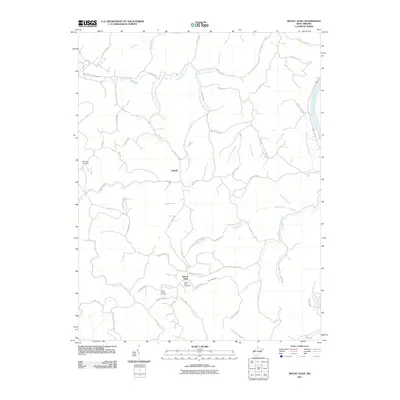
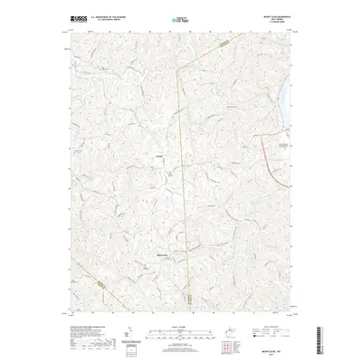
 1958 Mount Olive1959 Print · USGSThe rural borderlands of Mason and Putnam counties were a patchwork of ridge-top schools and creek-side chapels in the late fifties. Genealogists and local historians can trace family locations near Mount Olive, Hannan Sch, and Five and Twenty Mile Ch.2 unique versions available
 - 1960 Map of Huntington
 1960 Huntington1960 Print · USGSThe tri-state river valley thrived in the late fifties as a hub of heavy industry and Appalachian rail transit. Genealogists and historians can trace the connection between river towns like Ashland and Portsmouth or locate family homesteads near Coleman Ridge.
 - 1981 Map of Ironton, 1982 Print
 1981 Ironton1982 Print · USGSThe tri-state river valley at the start of the eighties shows a landscape shaped by heavy industry, atomic energy, and sprawling national forests. Researchers can trace the legacy of iron production at Harrison Furnace or follow the historic rail lines of the C & O RR and N & W RR.
 - 2011 Map of Mount Olive, 2011 Print
 2011 Mount Olive2011 Print · USGSCovers Upland, including Mount Olive, Cabell County, and other nearby areas
 - 2014 Map of Mount Olive, 2014 Print
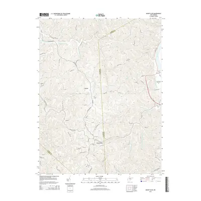 2014 Mount Olive2014 Print · USGSCovers Upland, including Mount Olive, Cabell County, and other nearby areas
 - 2016 Map of Mount Olive, 2016 Print
 2016 Mount Olive2016 Print · USGSCovers Upland, including Mount Olive, Cabell County, and other nearby areas
 - 2019 Map of Mount Olive, 2019 Print
 2019 Mount Olive2019 Print · USGSCovers Upland, including Mount Olive, Cabell County, and other nearby areas
 - 2023 Map of Mount Olive, 2023 Print
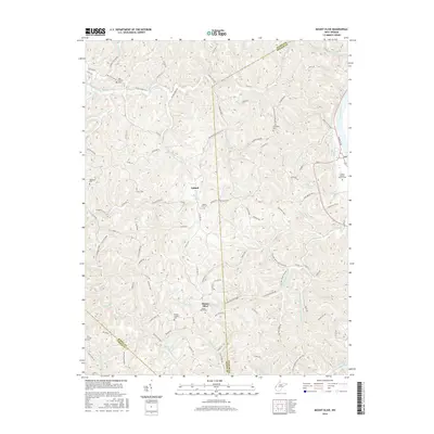
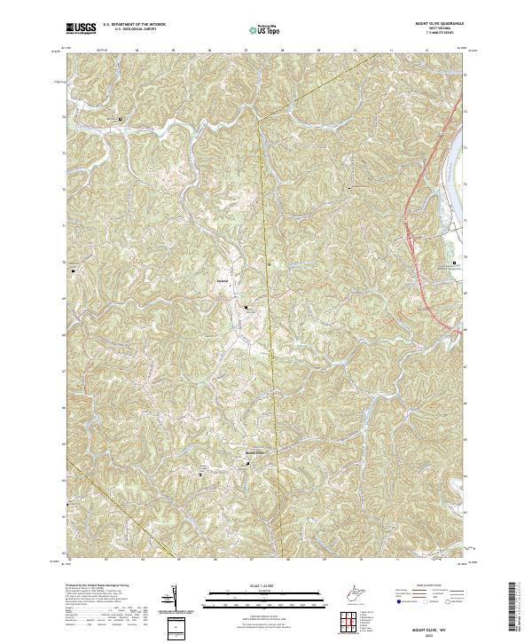 2023 Mount Olive2023 Print · USGSThe Mason and Putnam county borderlands are shown here in modern detail, where ridge-top communities overlook the Kanawha River valley. Genealogists can trace family sites at Mount Zion Cem, Staten Chapel Cem, and Fraziers Bottom United Methodists Church.
End of results
Showing maps 1-11 of 11
Top cities near Upland
- Teays Valley historical maps
- St. Albans historical maps
- Hurricane historical maps
- Gallipolis historical maps
- Barboursville historical maps
- Culloden historical maps
See more
Frequently asked questions
- What are the different types of historical maps available for Upland?
- What is the oldest map of Upland?
- Where can I purchase historical maps of Upland for my home or office?
- Where can I download high-res historical maps of Upland?
- Are there historical topographic maps available for Upland?
- Is there historical aerial imagery available for Upland?
- Where are historical maps of Upland sourced from?