Old Maps of Cloverdale, West Virginia for Academic Research
Study the evolution of Cloverdale with 15 high-resolution historic maps. Whether you're teaching, researching, or modeling changes in land use, these maps provide essential visual documentation of urban, environmental, and geographic change.
- Analyze long-term change: Track patterns in development, transportation, and natural features.
- Ideal for environmental or urban studies: Support academic projects with primary historical map data.
- Use in the classroom or lab: Educators and researchers rely on these maps to bring historical context to life.
These maps are a powerful tool for teaching, research, and visualizing how Cloverdale has changed over the decades.
Cloverdale, WV maps
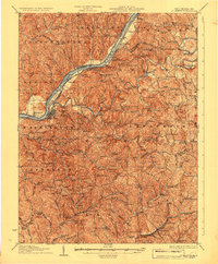
(15)- 1906 Map of Saint Marys
 1906 Saint Marys1906 Print · USGSThe riverfront around St Marys and the Ohio River islands is captured here in the early 1900s. Genealogists and researchers can trace early rural life through landmarks like Ninemile Schoolhouse, Union Mills, and the Baltimore and Ohio RR corridor.3 unique versions available
 - 1924 Map of St Marys, 1956 Print
 1924 St Marys1956 Print · USGSPleasants County and the Ohio River valley are shown here in the mid-twenties, just as the local rail and river networks reached their peak. Genealogists can trace hundreds of family sites near St Marys, including Bibbys Chapel, Ellenboro, and the Willow Island School.
 - 1927 Map of Saint Marys
 1927 Saint Marys1927 Print · USGSPleasants and Ritchie counties come into focus during the mid-twenties as the Baltimore and Ohio railroad skirts the Ohio River. Researchers can trace ancestral locations through dozens of rural landmarks, from the Northwestern Turnpike to the Willow Island School and Mt Carmel Church.3 unique versions available
 - 1949 Map of Clarksburg
 1949 Clarksburg1949 Print · USGSThe upper Ohio River valley and the industrial heart of West Virginia come into focus during this post-war period. Genealogists and researchers can trace the rail corridors of the Baltimore and Ohio and locate centers like Fairmont, Grafton, and Waynesburg.
 - 1956 Map of Clarksburg, 1966 Print
 1956 Clarksburg1966 Print · USGSThe Ohio River valley and the industrial heart of West Virginia are seen here in the mid-1950s as rail and river commerce thrived. Researchers can trace historic transport lines like the Baltimore and Ohio RR and locate ancestral homes in Clarksburg, Moundsville, or Parkersburg.2 unique versions available
 - 1961 Map of Clarksburg
 1961 Clarksburg1961 Print · USGSThe mid-century industrial and river landscapes of West Virginia and Ohio are detailed here, centered on the Ohio River. Researchers can trace the Baltimore and Ohio rail lines connecting towns like Parkersburg, Clarksburg, and Monongah.
 - 1961 Map of Schultz, 1962 Print
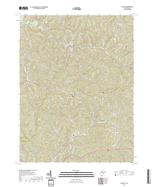
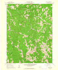 1961 Schultz1962 Print · USGSPleasants and Ritchie counties in the early sixties reveal a landscape of deep hollows and narrow ridgeline roads. Genealogists can locate family sites near Cloverdale Ch, the settlement at Maxwell, or tracing the paths along Goose Creek.3 unique versions available
 - 1975 Map of Schultz, 1979 Print
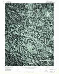 1975 Schultz1979 Print · USGSThe wooded ridges of Pleasants County are seen in high detail in this mid-seventies orthophoto survey. Local researchers can trace the rural road networks connecting the small settlements of Calcutta, Schultz, and Glendale.
 - 1981 Map of Parkersburg, 1984 Print
 1981 Parkersburg1984 Print · USGSThe Ohio River valley at the start of the 1980s reveals a landscape shaped by river commerce and the rail networks of the Baltimore and Ohio RR. Genealogists and historians can trace the development of riverfront communities like Parkersburg, Marietta, and Williamstown, alongside rural landmarks like Blennerhassett Island and Elizabeth.
 - 1988 Map of Clarksburg, 1989 Print
 1988 Clarksburg1989 Print · USGSThe central Appalachians are documented in detail during the late eighties, showing the industrial and river-based economies of West Virginia, Ohio, and Pennsylvania. Researchers can trace historic rail routes like the B & O RR and locate river towns from St Marys to Parkersburg.
 - 2011 Map of Schultz, 2011 Print
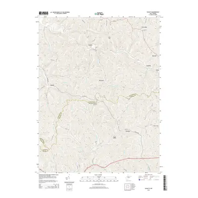
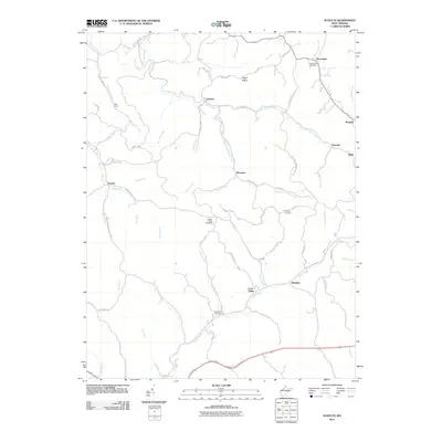 2011 Schultz2011 Print · USGSCovers Cloverdale, including Maxwell, Schultz, and other nearby areas
 - 2014 Map of Schultz, 2014 Print
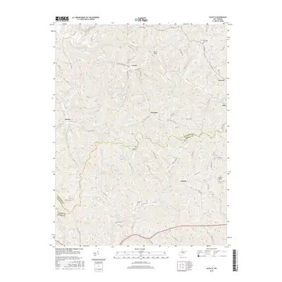
 2014 Schultz2014 Print · USGSCovers Cloverdale, including Maxwell, Schultz, and other nearby areas
 - 2016 Map of Schultz, 2016 Print
 2016 Schultz2016 Print · USGSCovers Cloverdale, including Maxwell, Schultz, and other nearby areas
 - 2019 Map of Schultz, 2019 Print
 2019 Schultz2019 Print · USGSCovers Cloverdale, including Maxwell, Schultz, and other nearby areas
 - 2023 Map of Schultz, 2023 Print
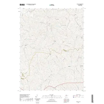
 2023 Schultz2023 Print · USGSPleasants and Ritchie counties are shown in this modern survey of West Virginia's hollows and ridges. Researchers can locate remote family landmarks such as Bills Family Cem, Cloverdale Cem, and the small settlement of Calcutta.
End of results
Showing maps 1-15 of 15
Top cities near Cloverdale
- Newport historical maps
- Harrisville historical maps
- Grandview historical maps
- Sistersville historical maps
- Pennsboro historical maps
- Belmont historical maps
See more
Frequently asked questions
- What are the different types of historical maps available for Cloverdale?
- What is the oldest map of Cloverdale?
- Where can I purchase historical maps of Cloverdale for my home or office?
- Where can I download high-res historical maps of Cloverdale?
- Are there historical topographic maps available for Cloverdale?
- Is there historical aerial imagery available for Cloverdale?
- Where are historical maps of Cloverdale sourced from?