Old Maps of Arbovale, West Virginia for Genealogy
Trace your family roots with 13 historic maps of Arbovale. These high-res maps reveal old neighborhoods, homesites, landmarks, and streets — helping you uncover where your ancestors lived and how the area evolved over time.
- Explore historic neighborhoods: Identify where your relatives may have lived in the 1800s or 1900s.
- Compare maps over time: Trace the changes in streets, buildings, and landmarks for multi-generational research.
- Perfect for genealogy & ancestry research: Used by family historians and researchers to map out lineage and migration.
These maps are an incredible resource for exploring your personal connection to Arbovale's past.
Arbovale, WV maps
(13)- 1901 Map of Monterey, 1905 Print
 1901 Monterey1905 Print · USGSThe high Allegheny ridges of Highland and Bath Counties are shown at the turn of the century when isolated valley settlements were linked by winding mountain gaps. Genealogists can trace early homesteads and commerce centers like Cleeks Mills, Mountaingrove, and New Hampden.8 unique versions available
 - 1922 Map of Cass
 1922 Cass1922 Print · USGSThe West Virginia highlands are shown here in the 1920s as a bustling corridor of mountain rail and timber industry. Genealogists can trace family roots through numerous country landmarks like Wanless Church, McLaughlin School, and the remote rail town of Spruce.4 unique versions available
 - 1924 Map of Cass
 1924 Cass1924 Print · USGSPocahontas County was a mountain landscape of timber and rail in the early 1920s, dominated by the Greenbrier River valley. Genealogists can locate family landmarks like Dilleys Mill, Hevener Church, and numerous schools including the Pine Grove School.3 unique versions available
 - 1949 Map of Charlottesville
 1949 Charlottesville1949 Print · USGSThe Shenandoah Valley and Blue Ridge appear in the late 1940s as a thriving corridor of rail and river commerce. Researchers can trace the mid-century footprints of Harrisonburg, Staunton, and Culpeper alongside the historic routes of the Southern Railway.2 unique versions available
 - 1956 Map of Charlottesville, 1966 Print
 1956 Charlottesville1966 Print · USGSThe Shenandoah Valley and Blue Ridge are captured in detail during the mid-1960s as the modern interstate system began to emerge. Genealogists and historians can trace rail-connected hubs like Waynesboro or follow the river paths of the Rapidan River and Rivanna River.4 unique versions available
 - 1960 Map of Green Bank, 1961 Print
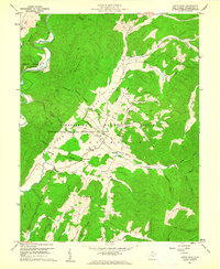 1960 Green Bank1961 Print · USGSPocahontas County at the dawn of the space age reveals a unique juxtaposition of traditional mountain life and cutting-edge science. Genealogists and historians can trace family-named sites like Asbury Knob or Galford alongside the Monongahela National Radio Astronomy Observatory and its Telescope installations.3 unique versions available
 - 1986 Map of Staunton
 1986 Staunton1986 Print · USGSThe Shenandoah Valley and Allegheny Highlands meet in the mid-1980s, revealing a landscape of historic mountain towns and thermal resorts. Genealogists and historians can trace institutional landmarks like Mary Baldwin College or follow the legacy of the Chesapeake and Ohio Railroad through Craigsville and Swoope.2 unique versions available
 - 1995 Map of Green Bank, 1998 Print
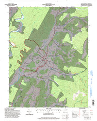 1995 Green Bank1998 Print · USGSPocahontas County’s high mountain valleys were center stage for radio astronomy in the mid-nineties, balancing quiet rural life with cutting-edge science. Researchers can locate several Telescopes and the Interferometer Range alongside local landmarks like Liberty Ch and Pine Grove Ch.
 - 2011 Map of Green Bank, 2011 Print
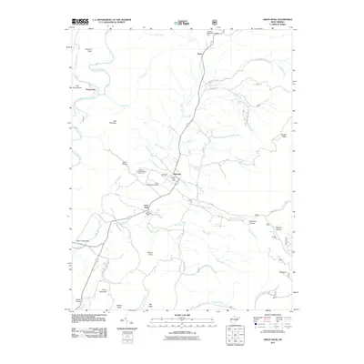 2011 Green Bank2011 Print · USGSPocahontas County’s high valleys are captured here in the early twenty-first century, centered on the unique scientific landscape of the National Radio Astronomy Observatory. Genealogists and local historians can locate Arbovale Cemetery and trace old family settlements from Hosterman to Hamilton Hollow.
 - 2014 Map of Green Bank, 2014 Print
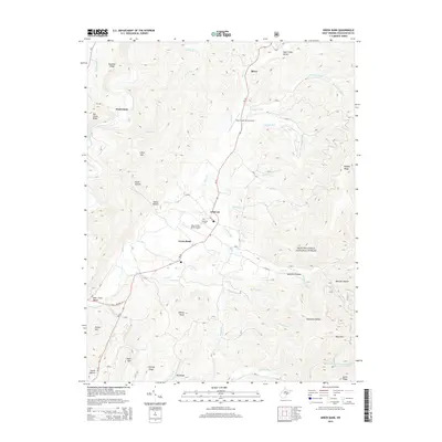 2014 Green Bank2014 Print · USGSPocahontas County’s high mountain valleys are documented here in the early twenty-first century, showing the corridor along the Greenbrier River. Genealogists and researchers can trace local landmarks like Arbovale Cem and the small settlements of Boyer and Hosterman.
 - 2016 Map of Green Bank, 2016 Print
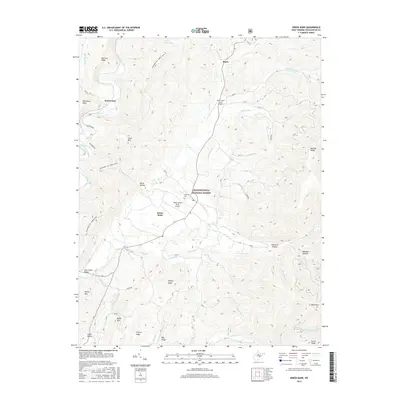 2016 Green Bank2016 Print · USGSPocahontas County's high-altitude valleys and scientific outposts are documented in this mid-2010s survey of the Allegheny Mountains. Trace the paths of early settlements and family landmarks near Green Bank, the Arbovale Cem, and the winding Greenbrier River.
 - 2019 Map of Green Bank, 2019 Print
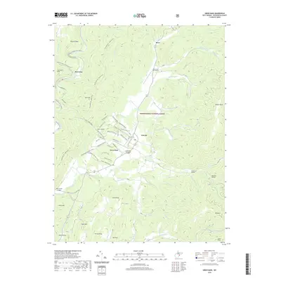 2019 Green Bank2019 Print · USGSThe Pocahontas County highlands are shown here in the modern era, centering on the unique scientific landscape surrounding Green Bank. Researchers can trace the sophisticated trail and road network serving the Green Bank Observatory Airport alongside local landmarks like Arbovale Cem and Hosterman.
 - 2023 Map of Green Bank, 2023 Print
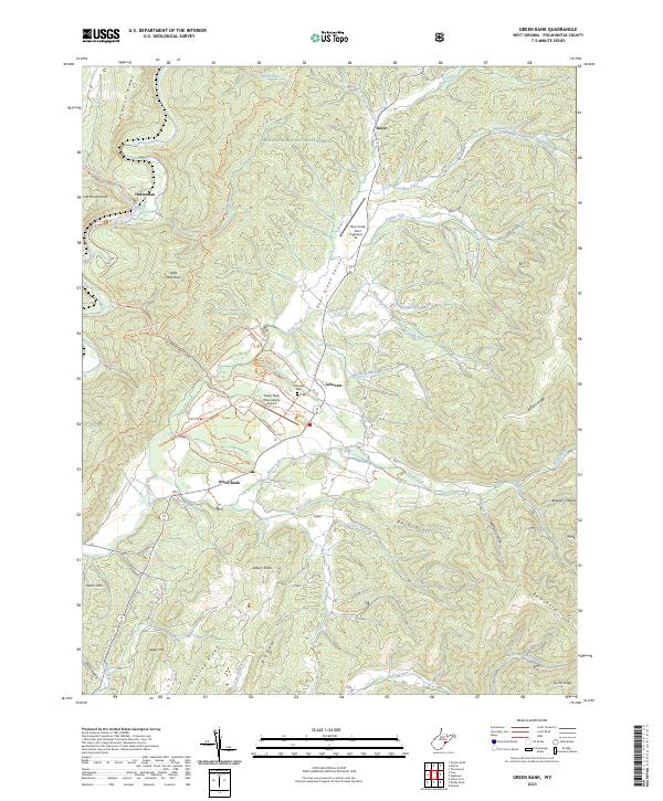 2023 Green Bank2023 Print · USGSPocahontas County’s high-altitude valleys and scientific outposts are documented here in recent detail. Researchers can trace the layout of the Green Bank Observatory Airport, locate the Arbovale Cemetery, and follow trails through the Monongahela National Forest.
End of results
Showing maps 1-13 of 13
Top cities near Arbovale
Frequently asked questions
- What are the different types of historical maps available for Arbovale?
- What is the oldest map of Arbovale?
- Where can I purchase historical maps of Arbovale for my home or office?
- Where can I download high-res historical maps of Arbovale?
- Are there historical topographic maps available for Arbovale?
- Is there historical aerial imagery available for Arbovale?
- Where are historical maps of Arbovale sourced from?