Old Maps of Folsom, West Virginia for Metal Detecting
Plan your next treasure hunt with 14 historic maps of Folsom. Find old homesites, ghost towns, trails, and gathering spots that may be lost to time — perfect for identifying promising metal detecting locations.
- Locate forgotten sites: Uncover places like long-lost settlements, abandoned rail lines, or gathering spots.
- Plan better hunts: Use map overlays combined with LiDAR or satellite views to narrow in on historically rich areas.
- Made for detectorists: Thousands of hobbyists use these maps to discover relics, coins, and hidden history.
Use these historic maps to boost your research and find new opportunities beneath the surface of Folsom.
Folsom, WV maps
(14)- 1905 Map of Centerpoint
 1905 Centerpoint1905 Print · USGSWest Virginia's heartland at the peak of the railroad era is meticulously charted here, revealing a dense network of ridge-top settlements and valley post offices. Trace the paths of the Baltimore and Ohio RR through Salem and locate lost landmarks like Eagle Mills, Jockeycamp, and Big Battle.3 unique versions available
 - 1924 Map of Centerpoint, 1957 Print
 1924 Centerpoint1957 Print · USGSDoddridge and Harrison counties are shown here in the mid-1920s, when small-town life revolved around the railroad and local schoolhouses. Genealogists can locate family homesteads near landmarks like Alvy P O Stringtown, Smithton Smithburg Sta, and Fairview Church.2 unique versions available
 - 1925 Map of Centerpoint
 1925 Centerpoint1925 Print · USGSDoddridge and Harrison counties are shown here in the mid-1920s, highlighting a landscape of deep hollows and ridge-top farms. Researchers can trace the Baltimore and Ohio rail line through Salem or find small rural landmarks like Victory Church and Lima PO.4 unique versions available
 - 1949 Map of Clarksburg
 1949 Clarksburg1949 Print · USGSThe upper Ohio River valley and the industrial heart of West Virginia come into focus during this post-war period. Genealogists and researchers can trace the rail corridors of the Baltimore and Ohio and locate centers like Fairmont, Grafton, and Waynesburg.
 - 1956 Map of Clarksburg, 1966 Print
 1956 Clarksburg1966 Print · USGSThe Ohio River valley and the industrial heart of West Virginia are seen here in the mid-1950s as rail and river commerce thrived. Researchers can trace historic transport lines like the Baltimore and Ohio RR and locate ancestral homes in Clarksburg, Moundsville, or Parkersburg.2 unique versions available
 - 1961 Map of Clarksburg
 1961 Clarksburg1961 Print · USGSThe mid-century industrial and river landscapes of West Virginia and Ohio are detailed here, centered on the Ohio River. Researchers can trace the Baltimore and Ohio rail lines connecting towns like Parkersburg, Clarksburg, and Monongah.
 - 1961 Map of Folsom, 1963 Print
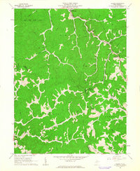 1961 Folsom1963 Print · USGSWetzel and Harrison counties are shown during the early 1960s, a period when the valley floors were dominated by the Baltimore and Ohio Railroad and the energy industry. Genealogists can locate family sites like Morgan Cem and McIntire Fork Cem or trace the rural settlements of Hartzel and Smithfield.2 unique versions available
 - 1982 Map of Clarksburg, 1983 Print
 1982 Clarksburg1983 Print · USGSNorth Central West Virginia in the early eighties reveals a landscape deeply connected to its coal and gas resources. Genealogists and researchers can trace family landmarks and historical settlements from Clarksburg to Buckhannon, or locate sites like Quiet Dell and Watters Smith Memorial State Park.
 - 1988 Map of Clarksburg, 1989 Print
 1988 Clarksburg1989 Print · USGSThe central Appalachians are documented in detail during the late eighties, showing the industrial and river-based economies of West Virginia, Ohio, and Pennsylvania. Researchers can trace historic rail routes like the B & O RR and locate river towns from St Marys to Parkersburg.
 - 2011 Map of Folsom, 2011 Print
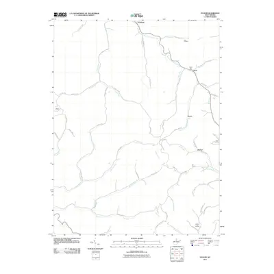 2011 Folsom2011 Print · USGSWetzel County's narrow valleys and winding creeks are captured here at the start of the 2010s. Genealogists and local researchers can trace family roots through several burial sites including Stout Cemetery, Dye Cemetery, and the Folsom Post Office.
 - 2014 Map of Folsom, 2014 Print
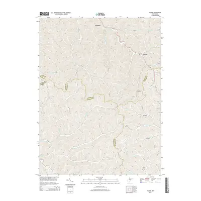 2014 Folsom2014 Print · USGSWetzel County and its neighbors are shown here in the early 2010s, defined by the winding creek valleys of the S Fork Fishing Cr. Researchers can trace old family roots at Stout Cem or Dye Cem and locate the historic centers of Smithfield and Hartzel.
 - 2016 Map of Folsom, 2016 Print
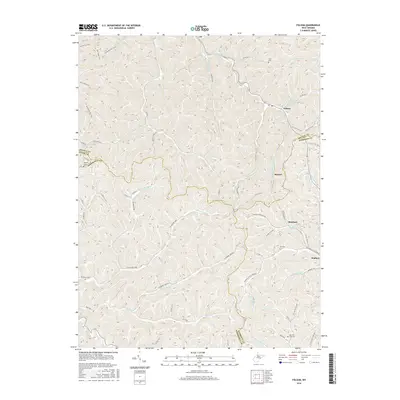 2016 Folsom2016 Print · USGSThis mid-2010s survey captures the borderlands of Wetzel and Harrison counties where the S Fork Fishing Cr drainage shapes local life. Researchers can trace ancestral locations near Folsom or Wallace and locate family burial sites at Stout Cem and Dye Cem.
 - 2019 Map of Folsom, 2019 Print
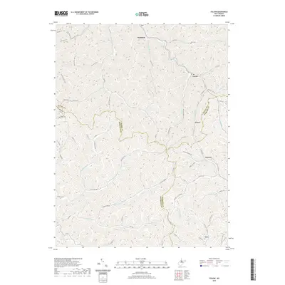 2019 Folsom2019 Print · USGSThe rural communities of Smithfield and Folsom sit at the intersection of four West Virginia counties in this modern topographic survey. Researchers can trace family history through local burial sites like McIntire Fork Cem and Dye Cem or explore the drainage of Arches Fork.
 - 2023 Map of Folsom, 2023 Print
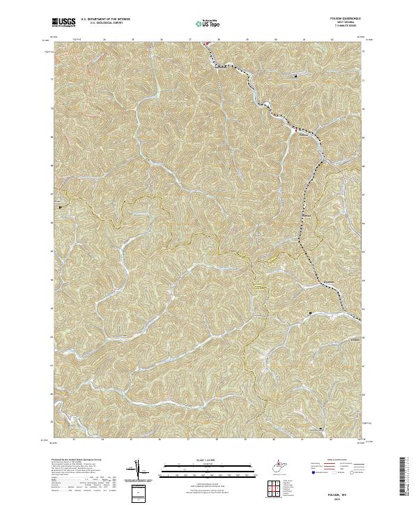 2023 Folsom2023 Print · USGSThe northern West Virginia hill country near the intersection of Wetzel, Harrison, and Doddridge counties is shown here in its modern rural character. Genealogists can locate family landmarks such as Stout Run Cem, Dye Cem, and the old crossroads at Hartzel.
End of results
Showing maps 1-14 of 14
Top cities near Folsom
- Clarksburg historical maps
- Shinnston historical maps
- Mannington historical maps
- Salem historical maps
- Stonewood historical maps
- Nutter Fort historical maps
See more
Frequently asked questions
- What are the different types of historical maps available for Folsom?
- What is the oldest map of Folsom?
- Where can I purchase historical maps of Folsom for my home or office?
- Where can I download high-res historical maps of Folsom?
- Are there historical topographic maps available for Folsom?
- Is there historical aerial imagery available for Folsom?
- Where are historical maps of Folsom sourced from?