Old Maps of Windy, West Virginia for Genealogy
Trace your family roots with 14 historic maps of Windy. These high-res maps reveal old neighborhoods, homesites, landmarks, and streets — helping you uncover where your ancestors lived and how the area evolved over time.
- Explore historic neighborhoods: Identify where your relatives may have lived in the 1800s or 1900s.
- Compare maps over time: Trace the changes in streets, buildings, and landmarks for multi-generational research.
- Perfect for genealogy & ancestry research: Used by family historians and researchers to map out lineage and migration.
These maps are an incredible resource for exploring your personal connection to Windy's past.
Windy, WV maps
(14)- 1906 Map of Belleville
 1906 Belleville1906 Print · USGSWood County at the turn of the century is defined by its deep river valleys and the expansion of the Baltimore and Ohio RR. Genealogists and historians can trace late-Victorian settlements like Mineral Wells, Belleville, and the riverfront at Walkers Crossing.2 unique versions available
 - 1924 Map of Belleville, 1954 Print
 1924 Belleville1954 Print · USGSWood County’s riverfront settlements and rural school districts are captured here in the mid-twenties during the height of the rail era. Genealogists can locate long-lost family landmarks like Harris Ferry, Meldahl, and dozens of rural schoolhouses including Leafy Glen School.
 - 1926 Map of Belleville
 1926 Belleville1926 Print · USGSThe Ohio River valley and its rugged Wood County hinterlands come into focus in the mid-twenties. Genealogists and historians can locate dozens of rural schools and churches like Leafy Glen School, Torch PO, and Serepta Church along the winding runs.2 unique versions available
 - 1949 Map of Clarksburg
 1949 Clarksburg1949 Print · USGSThe upper Ohio River valley and the industrial heart of West Virginia come into focus during this post-war period. Genealogists and researchers can trace the rail corridors of the Baltimore and Ohio and locate centers like Fairmont, Grafton, and Waynesburg.
 - 1956 Map of Clarksburg, 1966 Print
 1956 Clarksburg1966 Print · USGSThe Ohio River valley and the industrial heart of West Virginia are seen here in the mid-1950s as rail and river commerce thrived. Researchers can trace historic transport lines like the Baltimore and Ohio RR and locate ancestral homes in Clarksburg, Moundsville, or Parkersburg.2 unique versions available
 - 1960 Map of Rockport, 1963 Print
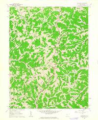 1960 Rockport1963 Print · USGSWest Virginia's rural landscape at the start of the 1960s is captured here, showing the ridge-and-hollow settlement patterns of Wood and Jackson Counties. Genealogists can trace family names through landmarks like Naylor Cem, Rockport Sch, and Limestone Ch.2 unique versions available
 - 1961 Map of Clarksburg
 1961 Clarksburg1961 Print · USGSThe mid-century industrial and river landscapes of West Virginia and Ohio are detailed here, centered on the Ohio River. Researchers can trace the Baltimore and Ohio rail lines connecting towns like Parkersburg, Clarksburg, and Monongah.
 - 1981 Map of Parkersburg, 1984 Print
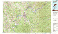 1981 Parkersburg1984 Print · USGSThe Ohio River valley at the start of the 1980s reveals a landscape shaped by river commerce and the rail networks of the Baltimore and Ohio RR. Genealogists and historians can trace the development of riverfront communities like Parkersburg, Marietta, and Williamstown, alongside rural landmarks like Blennerhassett Island and Elizabeth.
 - 1988 Map of Clarksburg, 1989 Print
 1988 Clarksburg1989 Print · USGSThe central Appalachians are documented in detail during the late eighties, showing the industrial and river-based economies of West Virginia, Ohio, and Pennsylvania. Researchers can trace historic rail routes like the B & O RR and locate river towns from St Marys to Parkersburg.
 - 2010 Map of Rockport, 2010 Print
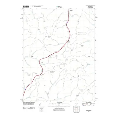 2010 Rockport2010 Print · USGSWood County at the turn of the millennium reveals a landscape of deep-rooted rural communities and family legacies. Genealogists and local researchers can trace historic land use through numerous sites like the Gant Cemetery, Nicholas Hollow, and the settlement of Rockport.
 - 2014 Map of Rockport, 2014 Print
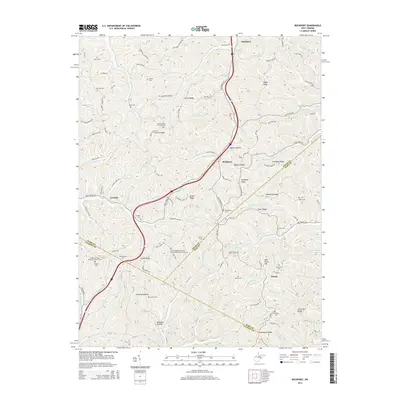 2014 Rockport2014 Print · USGSWest Virginia's Appalachian foothills come into focus in the early 2010s, showing the rural communities of Rockport and Lowdell. Researchers can trace family history through a remarkable number of small upland burial sites like Naylor Cem and the Simpson United Methodist Church Cem.
 - 2016 Map of Rockport, 2016 Print
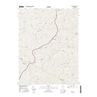 2016 Rockport2016 Print · USGSWest Virginia hill country near the Jackson and Wirt county borders comes into focus in the mid-2010s. Genealogists can trace dozens of family and church sites like Wigal School Cem, Lott Cem, and the Simpson United Methodist Church Cem.
 - 2019 Map of Rockport, 2019 Print
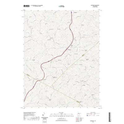 2019 Rockport2019 Print · USGSThe rural borderlands of Wood, Wirt, and Jackson counties come into focus in this recent survey. Researchers can trace ancestral locations through numerous burial sites like Lowdell Cem and the Gates Ridge Evangelical United Brethren Church Cemetery.
 - 2023 Map of Rockport, 2023 Print
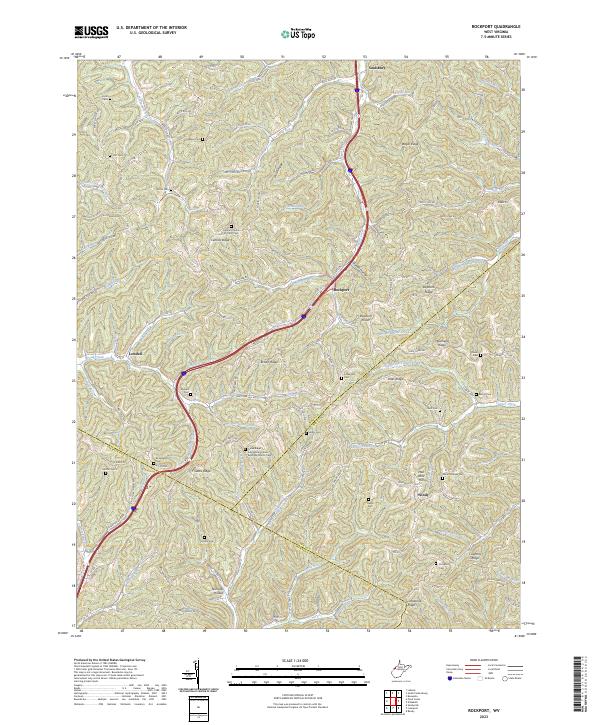 2023 Rockport2023 Print · USGSThe Wood and Jackson County borderlands are shown here in the 2020s, a landscape defined by high ridges and tight valley communities. Researchers can locate numerous family burial sites and rural congregations, including Lowdell Cem, Mount Moriah Cem, and the Central Church of Christ Cem.
End of results
Showing maps 1-14 of 14
Top cities near Windy
- Parkersburg historical maps
- Ravenswood historical maps
- Ripley historical maps
- Spencer historical maps
- Elizabeth historical maps
- Reedy historical maps
Frequently asked questions
- What are the different types of historical maps available for Windy?
- What is the oldest map of Windy?
- Where can I purchase historical maps of Windy for my home or office?
- Where can I download high-res historical maps of Windy?
- Are there historical topographic maps available for Windy?
- Is there historical aerial imagery available for Windy?
- Where are historical maps of Windy sourced from?