2000s (21st Century) Maps of Cameron, Wisconsin
Explore 10 historic maps of Cameron from the 2000s (21st Century). These maps offer a rare glimpse into what life looked like during the 2000s — showing old roads, neighborhoods, homes, and landmarks that have changed or disappeared over time.
Whether you're researching your family's past, planning a metal detecting trip, or studying how Cameron's landscape evolved across the 2000s, these high-resolution maps are a powerful tool for exploring the history of this region.
- Focus on a specific era: All maps on this page are from the 2000s, giving you a focused view of this time period.
- See what’s changed: Compare century-old streets, trails, and buildings to today's modern landscape using overlays and satellite layers.
- Research with precision: Use these maps for genealogy, historical research, land use analysis, or educational projects.
- View, download, or print: Maps are fully viewable online in high resolution, and can be downloaded or printed for your own records.
Start exploring Cameron's history through authentic maps from the 2000s. This is your window into the past.
Cameron, WI maps
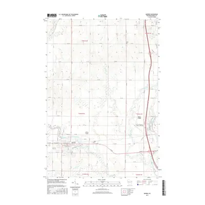
(10)- 2010 Map of Barron, 2010 Print
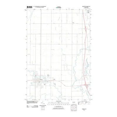 2010 Barron2010 Print · USGSCovers Cameron, including Rice Lake, Barron, and other nearby areas
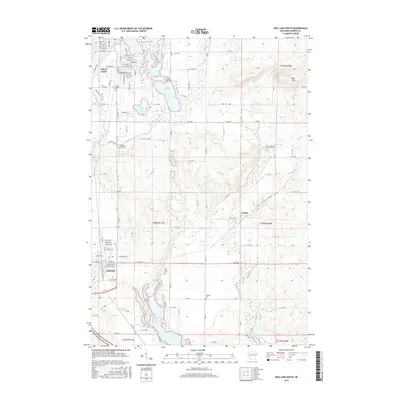
 - 2010 Map of Rice Lake South, 2010 Print
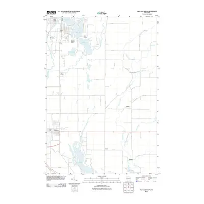 2010 Rice Lake South2010 Print · USGSCovers Cameron, including Rice Lake, Sumner, and other nearby areas
 - 2013 Map of Barron, 2013 Print
 2013 Barron2013 Print · USGSCovers Cameron, including Rice Lake, Barron, and other nearby areas
 - 2013 Map of Rice Lake South, 2013 Print
 2013 Rice Lake South2013 Print · USGSCovers Cameron, including Rice Lake, Sumner, and other nearby areas
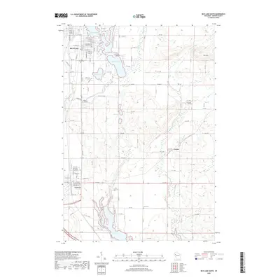
 - 2015 Map of Rice Lake South, 2015 Print
 2015 Rice Lake South2015 Print · USGSCovers Cameron, including Rice Lake, Sumner, and other nearby areas
 - 2015 Map of Barron, 2015 Print
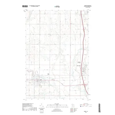
 2015 Barron2015 Print · USGSCovers Cameron, including Rice Lake, Barron, and other nearby areas
 - 2018 Map of Rice Lake South, 2018 Print
 2018 Rice Lake South2018 Print · USGSCovers Cameron, including Rice Lake, Sumner, and other nearby areas
 - 2018 Map of Barron, 2018 Print
 2018 Barron2018 Print · USGSCovers Cameron, including Rice Lake, Barron, and other nearby areas
 - 2022 Map of Rice Lake South, 2022 Print
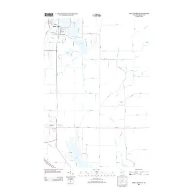
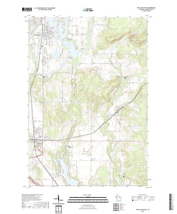 2022 Rice Lake South2022 Print · USGSBarron County in the early twenty-first century reveals a landscape defined by the Red Cedar River and glacial lakes. Family historians can locate numerous burial sites across the township, including Pine Grove Cem, Faaberg Cem, and Old Sumner Cem.
 - 2022 Map of Barron, 2022 Print
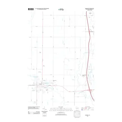
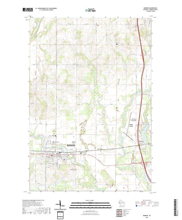 2022 Barron2022 Print · USGSThe junction of the Yellow River and Red Cedar River defines this northwestern Wisconsin landscape in the 2020s. Genealogists can trace local history through the Barron County Poor Farm Cem and Swede Cem or locate families near Barron and Cameron.
End of results
Showing maps 1-10 of 10
Top cities near Cameron
- Rice Lake historical maps
- Barron historical maps
- Chetek historical maps
- Arland historical maps
- Sumner historical maps
- Sand Creek historical maps
See more
Frequently asked questions
- What are the different types of historical maps available for Cameron?
- What is the oldest map of Cameron?
- Where can I purchase historical maps of Cameron for my home or office?
- Where can I download high-res historical maps of Cameron?
- Are there historical topographic maps available for Cameron?
- Is there historical aerial imagery available for Cameron?
- Where are historical maps of Cameron sourced from?