2000s (21st Century) Maps of Dallas, Wisconsin
Explore 20 historic maps of Dallas from the 2000s (21st Century). These maps offer a rare glimpse into what life looked like during the 2000s — showing old roads, neighborhoods, homes, and landmarks that have changed or disappeared over time.
Whether you're researching your family's past, planning a metal detecting trip, or studying how Dallas's landscape evolved across the 2000s, these high-resolution maps are a powerful tool for exploring the history of this region.
- Focus on a specific era: All maps on this page are from the 2000s, giving you a focused view of this time period.
- See what’s changed: Compare century-old streets, trails, and buildings to today's modern landscape using overlays and satellite layers.
- Research with precision: Use these maps for genealogy, historical research, land use analysis, or educational projects.
- View, download, or print: Maps are fully viewable online in high resolution, and can be downloaded or printed for your own records.
Start exploring Dallas's history through authentic maps from the 2000s. This is your window into the past.
Dallas, WI maps
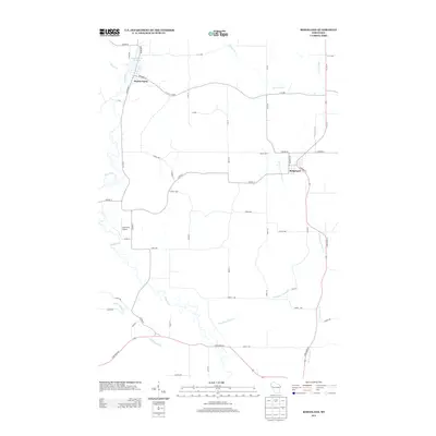
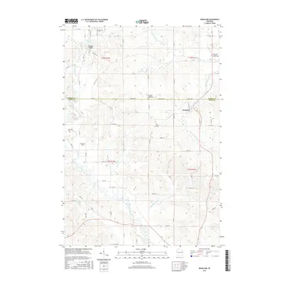
(20)- 2010 Map of Ridgeland NE, 2010 Print
 2010 Ridgeland NE2010 Print · USGSCovers Dallas, including Sand Creek, Wilson, and other nearby areas
 - 2010 Map of Ridgeland, 2010 Print
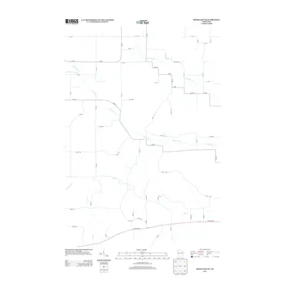
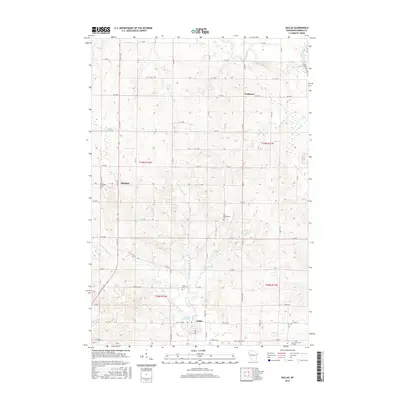
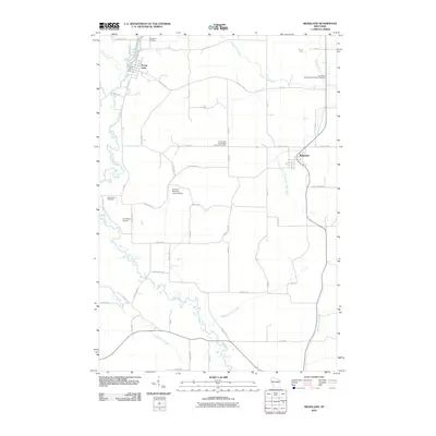 2010 Ridgeland2010 Print · USGSCovers Dallas, including Prairie Farm, Ridgeland, and other nearby areas
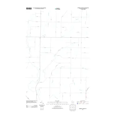
 - 2010 Map of Dorrity Creek, 2010 Print
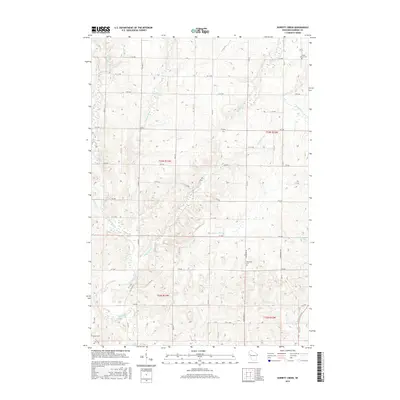
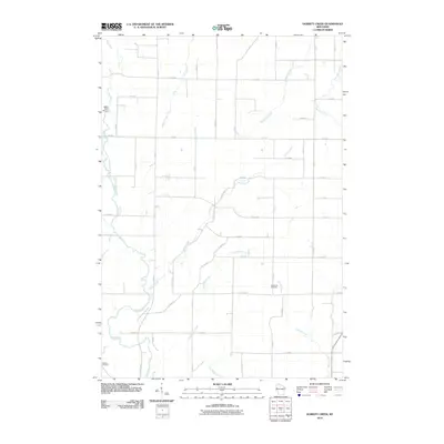 2010 Dorrity Creek2010 Print · USGSCovers Dallas, including Arland, Prairie Farm, and other nearby areas
 - 2010 Map of Dallas, 2010 Print
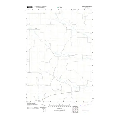
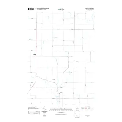
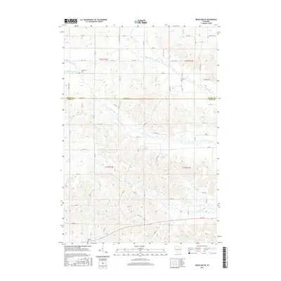
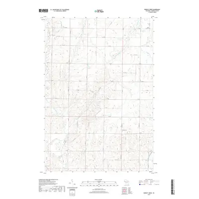
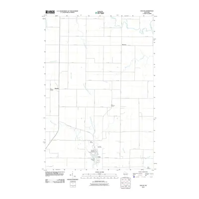 2010 Dallas2010 Print · USGSCovers Dallas, including Sioux Creek, Prairie Lake, and other nearby areas
 - 2013 Map of Dallas, 2013 Print
 2013 Dallas2013 Print · USGSCovers Dallas, including Sioux Creek, Prairie Lake, and other nearby areas
 - 2013 Map of Ridgeland NE, 2013 Print
 2013 Ridgeland NE2013 Print · USGSCovers Dallas, including Sand Creek, Wilson, and other nearby areas
 - 2013 Map of Ridgeland, 2013 Print
 2013 Ridgeland2013 Print · USGSCovers Dallas, including Prairie Farm, Ridgeland, and other nearby areas
 - 2013 Map of Dorrity Creek, 2013 Print
 2013 Dorrity Creek2013 Print · USGSCovers Dallas, including Arland, Prairie Farm, and other nearby areas
 - 2015 Map of Ridgeland NE, 2015 Print
 2015 Ridgeland NE2015 Print · USGSCovers Dallas, including Sand Creek, Wilson, and other nearby areas
 - 2015 Map of Dallas, 2015 Print
 2015 Dallas2015 Print · USGSCovers Dallas, including Sioux Creek, Prairie Lake, and other nearby areas
 - 2015 Map of Ridgeland, 2015 Print
 2015 Ridgeland2015 Print · USGSCovers Dallas, including Prairie Farm, Ridgeland, and other nearby areas
 - 2015 Map of Dorrity Creek, 2015 Print
 2015 Dorrity Creek2015 Print · USGSCovers Dallas, including Arland, Prairie Farm, and other nearby areas
 - 2018 Map of Dorrity Creek, 2018 Print
 2018 Dorrity Creek2018 Print · USGSCovers Dallas, including Arland, Prairie Farm, and other nearby areas
 - 2018 Map of Ridgeland, 2018 Print
 2018 Ridgeland2018 Print · USGSCovers Dallas, including Prairie Farm, Ridgeland, and other nearby areas
 - 2018 Map of Ridgeland NE, 2018 Print
 2018 Ridgeland NE2018 Print · USGSCovers Dallas, including Sand Creek, Wilson, and other nearby areas
 - 2018 Map of Dallas, 2018 Print
 2018 Dallas2018 Print · USGSCovers Dallas, including Sioux Creek, Prairie Lake, and other nearby areas
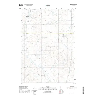
 - 2022 Map of Ridgeland, 2022 Print
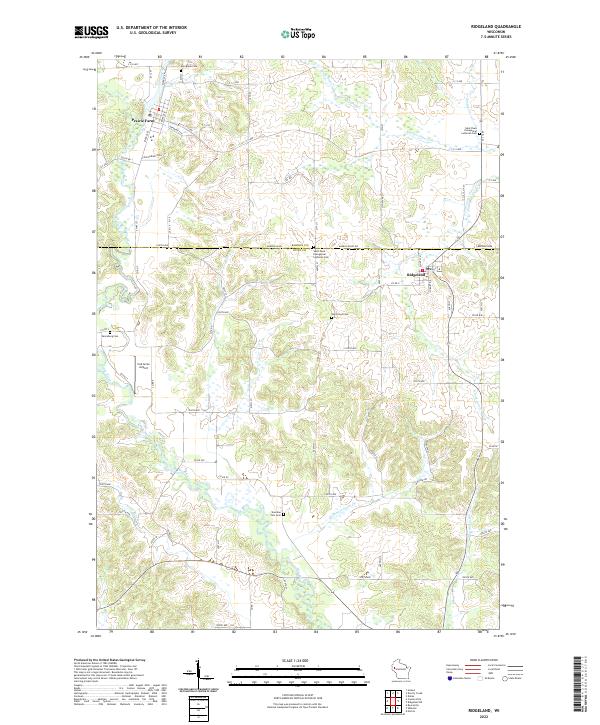 2022 Ridgeland2022 Print · USGSThe border of Barron and Dunn counties comes into focus in this recent survey of Prairie Farm and Ridgeland. Researchers can locate historic rural burial sites like Vanceburg Cem and trace the paths of Hay River and Turtle Creek.
 - 2022 Map of Dorrity Creek, 2022 Print
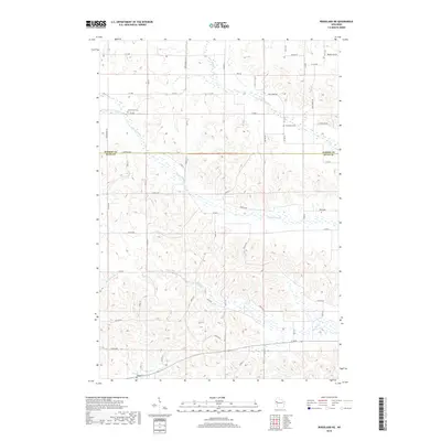
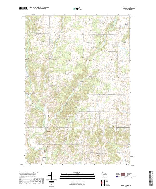 2022 Dorrity Creek2022 Print · USGSBarron County's agricultural heartland is documented here in the 2020s, showing the intersection of local watercourses and rural township life. Genealogists can locate family landmarks like the Glenwood Cem, Maple Grove Baptist Cem, and the banks of Hay River.
 - 2022 Map of Ridgeland NE, 2022 Print
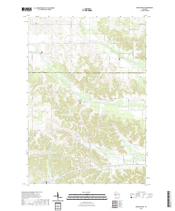 2022 Ridgeland NE2022 Print · USGSThe borderlands of Barron and Dunn counties are captured here in the early 2020s, showing a traditional Wisconsin landscape of dairy country and creek valleys. Researchers can locate local landmarks like Evergreen Cem, Tollebu Cem, and the headwaters of Hay Cr.
 - 2022 Map of Dallas, 2022 Print
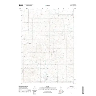
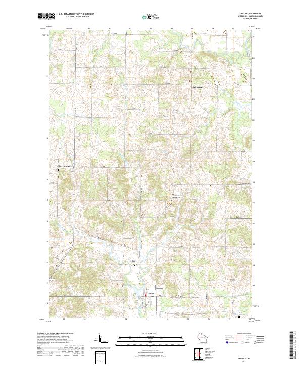 2022 Dallas2022 Print · USGSNorthwestern Wisconsin farmland and river valleys are captured here in the early twenty-first century. Genealogists can locate family plots at New Scandinavia Lutheran Cem, Dallas Cem, and Old Hillsdale Cem.
End of results
Showing maps 1-20 of 20
Top cities near Dallas
- Rice Lake historical maps
- Barron historical maps
- Chetek historical maps
- Tainter historical maps
- Cameron historical maps
- Boyceville historical maps
See more
Frequently asked questions
- What are the different types of historical maps available for Dallas?
- What is the oldest map of Dallas?
- Where can I purchase historical maps of Dallas for my home or office?
- Where can I download high-res historical maps of Dallas?
- Are there historical topographic maps available for Dallas?
- Is there historical aerial imagery available for Dallas?
- Where are historical maps of Dallas sourced from?