2000s (21st Century) Maps of Astor East, Green Bay
Explore 20 historic maps of Astor East from the 2000s (21st Century). These maps offer a rare glimpse into what life looked like during the 2000s — showing old roads, neighborhoods, homes, and landmarks that have changed or disappeared over time.
Whether you're researching your family's past, planning a metal detecting trip, or studying how Astor East's landscape evolved across the 2000s, these high-resolution maps are a powerful tool for exploring the history of this region.
- Focus on a specific era: All maps on this page are from the 2000s, giving you a focused view of this time period.
- See what’s changed: Compare century-old streets, trails, and buildings to today's modern landscape using overlays and satellite layers.
- Research with precision: Use these maps for genealogy, historical research, land use analysis, or educational projects.
- View, download, or print: Maps are fully viewable online in high resolution, and can be downloaded or printed for your own records.
Start exploring Astor East's history through authentic maps from the 2000s. This is your window into the past.
Astor East, Green Bay maps
(20)- 2010 Map of De Pere, 2010 Print
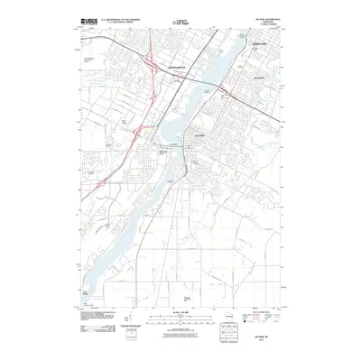 2010 De Pere2010 Print · USGSDe Pere and its neighboring riverfront communities show a complex landscape of industry and history in the early 2000s. Genealogists and local historians can trace numerous family sites across Woodlawn Cemetery, the Wisconsin State Reformatory, and the settlement at Little Rapids.
- 2010 Map of Bellevue, 2010 Print
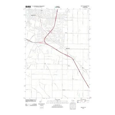 2010 Bellevue2010 Print · USGSGreen Bay and its southeastern suburbs are shown in a phase of rapid residential growth at the turn of the decade. Genealogists can locate family sites near Bellevue Cemetery, Martins Aerodrome, and old settlements like Pine Grove.
- 2010 Map of Green Bay East, 2010 Print
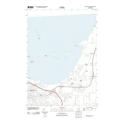 2010 Green Bay East2010 Print · USGSThe eastern shores of Green Bay and the winding corridor of Baird Creek are captured here in the early twenty-first century. Researchers can locate the historic Bay Settlement, Holy Cross Cemetery, and the campus of the University of Wisconsin at Green Bay.
- 2010 Map of Green Bay West, 2010 Print
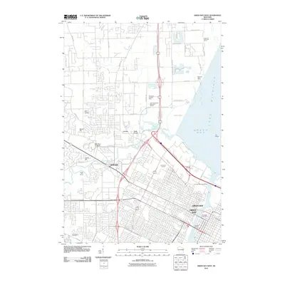 2010 Green Bay West2010 Print · USGSThe Green Bay waterfront and the village of Howard are shown here as they appeared a decade ago. Genealogists can locate family sites at Saint Johns Cemetery and Fort Howard Cemetery, while maritime researchers can trace the docks along the Fox River and Peats Lake.
- 2013 Map of Bellevue, 2013 Print
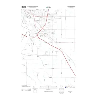 2013 Bellevue2013 Print · USGSEastern Brown County comes into focus in the early twenty-first century as suburban expansion meets traditional Wisconsin farmland. Genealogists and local researchers can locate established family sites like Pennings Farm and rural crossroads such as Kolb and Pine Grove.
- 2013 Map of Green Bay East, 2013 Print
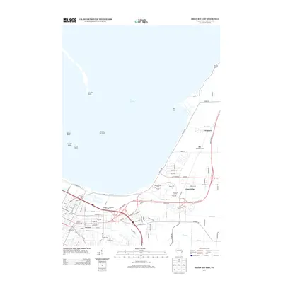 2013 Green Bay East2013 Print · USGSThe eastern shores of the bay and its developing suburbs are captured here during a period of modern growth in Brown County. Genealogists and local historians can locate early communities like Wequiock and Bay Settlement alongside landmarks like City Stadium.
- 2013 Map of Green Bay West, 2013 Print
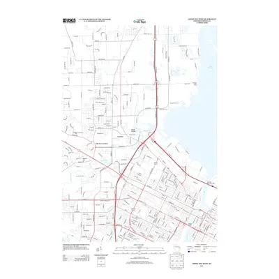 2013 Green Bay West2013 Print · USGSWestern Green Bay is shown in its modern configuration during the early 2010s, centering on the city's iconic sports and transit landmarks. Researchers can trace the urban development around Lambeau Field or locate historic river crossings like the Tilleman Bridge and Leo Frigo Memorial Bridge.
- 2013 Map of De Pere, 2013 Print
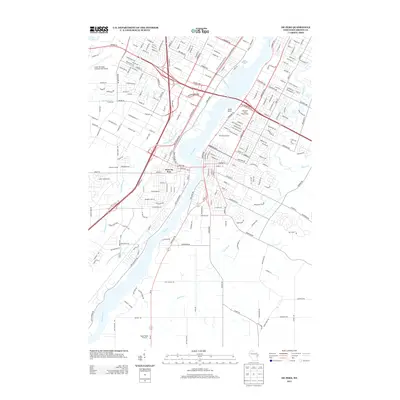 2013 De Pere2013 Print · USGSThe Fox River valley in the early 21st century reveals a mix of suburban growth and long-standing institutional landmarks. Trace the local geography of West De Pere, the Wisconsin State Reformatory, and the Austin Straubel International Airport.
- 2015 Map of Green Bay East, 2015 Print
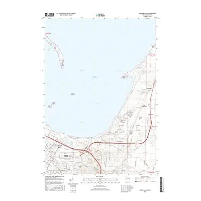 2015 Green Bay East2015 Print · USGSGreen Bay and its northeastern shoreline are captured here in the mid-2010s as suburban growth meets the bay. Researchers can trace the layout of the University and find local landmarks like Holy Cross Cemetery and Wequiock.
- 2015 Map of Bellevue, 2015 Print
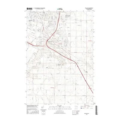 2015 Bellevue2015 Print · USGSSoutheast of Green Bay in the mid-2010s, this area shows the suburban growth of Bellevue and Allouez alongside quiet rural settlements. Researchers can locate family landmarks like the Polish Cem, the aviation history at Martins Aerodrome, and the natural landmark of Fonferek Glen Natural Arch.
- 2016 Map of Green Bay West, 2016 Print
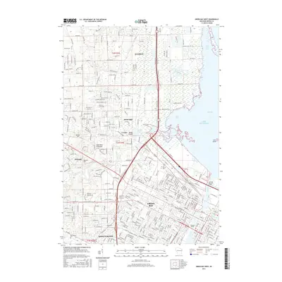 2016 Green Bay West2016 Print · USGSGreen Bay and its western suburbs appear here in the mid-2010s, showing a landscape defined by heavy industry and river crossings. Researchers can trace the modern layout of Howard and Ashwaubenon, locating landmarks like Fort Howard Cem and the Leo Frigo Memorial Bridge.
- 2016 Map of De Pere, 2016 Print
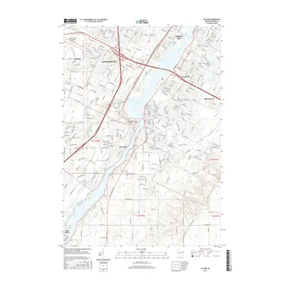 2016 De Pere2016 Print · USGSDe Pere and the southern reaches of Green Bay are shown here during a period of modern expansion along the Fox River. Researchers can locate several historic burial grounds like Mount Olivet Cem and the campus of Saint Norbert Coll.
- 2018 Map of De Pere, 2018 Print
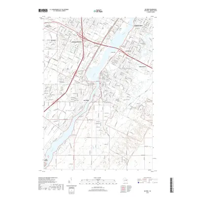 2018 De Pere2018 Print · USGSGreater Green Bay is captured here during its recent suburban and industrial expansion along the historic Fox River corridor. Researchers can trace family history at Allouez Catholic Cem or explore the residential growth of Ashwaubenon and De Pere.
- 2018 Map of Green Bay West, 2018 Print
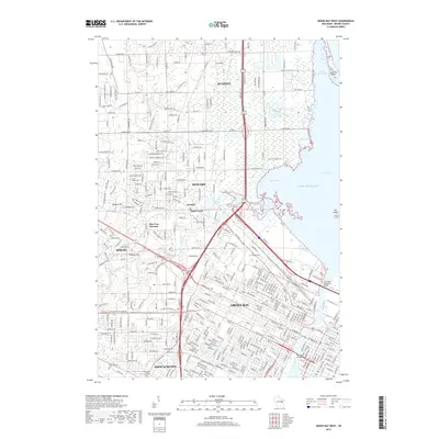 2018 Green Bay West2018 Print · USGSGreen Bay and its western suburbs appear here in the late 2010s, where the river-mouth commerce of the Fox meets the Lake Michigan shoreline. Researchers can trace local landmarks like Fort Howard Cem, the coastal reach of Long Tail Point, and the residential growth of Ashwaubenon.
- 2018 Map of Green Bay East, 2018 Print
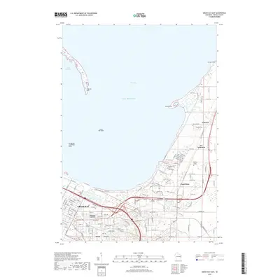 2018 Green Bay East2018 Print · USGSGreen Bay and its eastern suburbs are shown in this recent look at Brown County's evolving landscape. Researchers can trace the development of older communities like Wequiock and Preble or locate family sites at Holy Cross Cem and County Home Cem.
- 2018 Map of Bellevue, 2018 Print
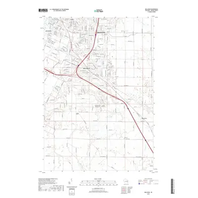 2018 Bellevue2018 Print · USGSSoutheast Brown County is captured here in the late twenty-teens, showing the suburban growth of Bellevue against its rural roots. Researchers can trace the development of the East River corridor and locate local landmarks like the Polish Cem and Scray Hill.
- 2022 Map of Green Bay East, 2022 Print
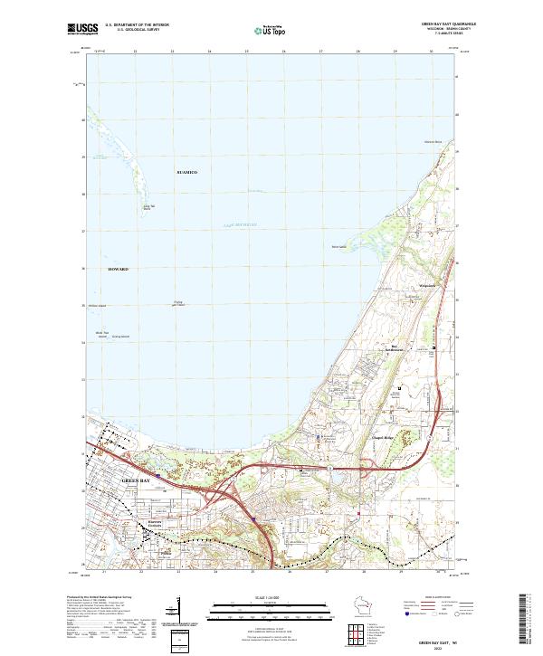 2022 Green Bay East2022 Print · USGSCoastal Brown County comes alive in this 2020s study of the shoreline where the city meets the bay. Genealogists and local historians can trace family locations near Haevers Corners, Holy Cross Cem, and the historic Bay Settlement crossroads.
- 2022 Map of Bellevue, 2022 Print
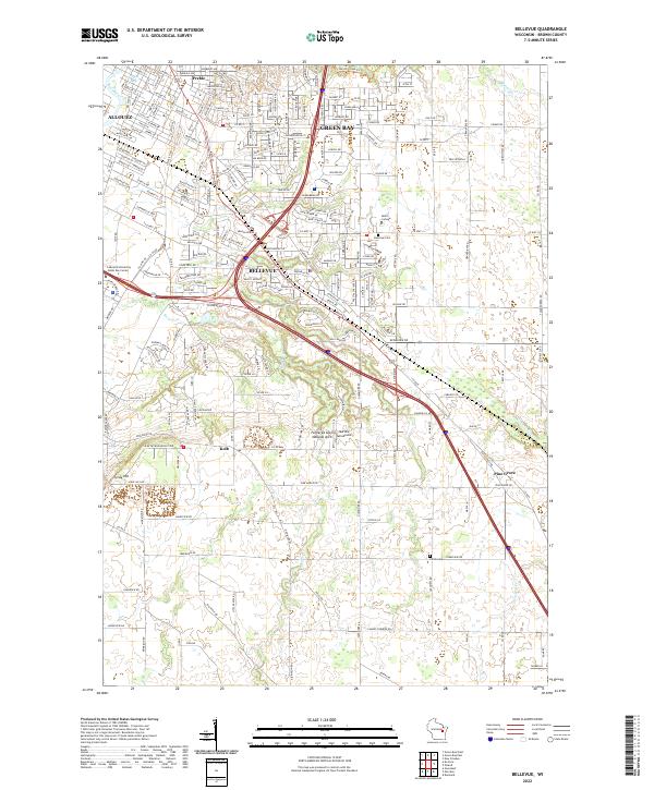 2022 Bellevue2022 Print · USGSBellevue and the southern reaches of Green Bay are shown here in the early 2020s as suburban growth meets rural Brown County. Researchers can pinpoint long-standing landmarks like the Fonferek Glen Natural Arch, Martins Aerodrome, and the Polish Cem.
- 2022 Map of Green Bay West, 2022 Print
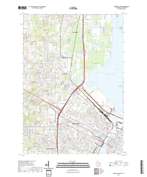 2022 Green Bay West2022 Print · USGSGreen Bay and the surrounding Brown County landscape are captured here in the early twenty-first century as the city spreads toward Lake Michigan. Genealogists and local historians can trace the sites of Saint John the Baptist Cemetery, the Brown County Courthouse, and the community of Elm Tree Corners.
- 2022 Map of De Pere, 2022 Print
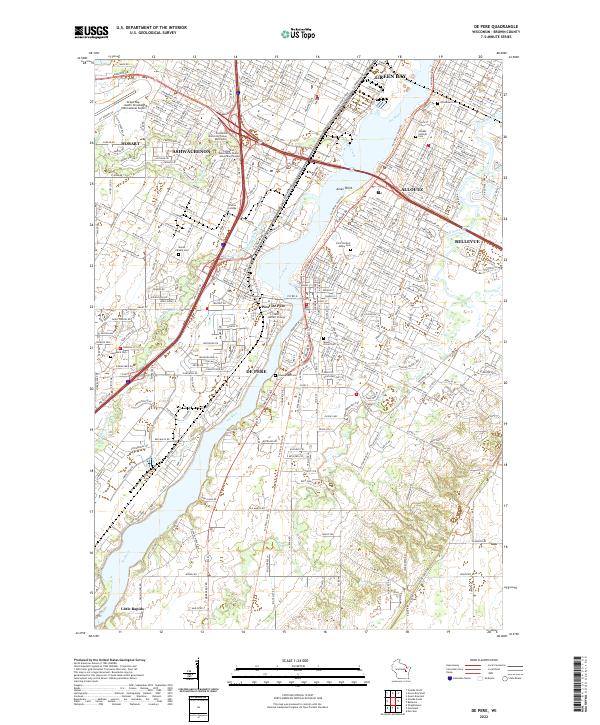 2022 De Pere2022 Print · USGSThe Fox River corridor south of Green Bay is shown in detail during the early 2020s, highlighting the area's deep-rooted academic and religious identity. Genealogists can trace family plots across Saint Norbert Abbey Cem, Woodlawn Cem, and Lawrence Cem.
End of results
Showing maps 1-20 of 20
Frequently asked questions
- What are the different types of historical maps available for Astor East?
- What is the oldest map of Astor East?
- Where can I purchase historical maps of Astor East for my home or office?
- Where can I download high-res historical maps of Astor East?
- Are there historical topographic maps available for Astor East?
- Is there historical aerial imagery available for Astor East?
- Where are historical maps of Astor East sourced from?