Old Maps of Olde Norwood, Green Bay for Metal Detecting
Plan your next treasure hunt with 21 historic maps of Olde Norwood. Find old homesites, ghost towns, trails, and gathering spots that may be lost to time — perfect for identifying promising metal detecting locations.
- Locate forgotten sites: Uncover places like long-lost settlements, abandoned rail lines, or gathering spots.
- Plan better hunts: Use map overlays combined with LiDAR or satellite views to narrow in on historically rich areas.
- Made for detectorists: Thousands of hobbyists use these maps to discover relics, coins, and hidden history.
Use these historic maps to boost your research and find new opportunities beneath the surface of Olde Norwood.
Olde Norwood, Green Bay maps
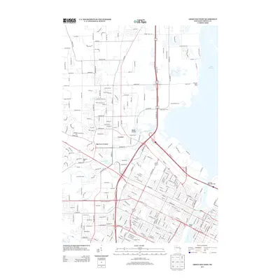
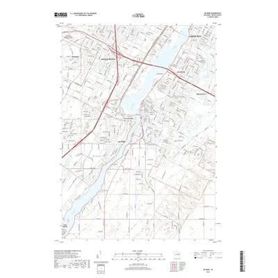
(21)- 1954 Map of De Pere, 1956 Print
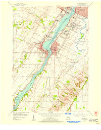
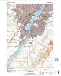
 1954 De Pere1956 Print · USGSThe Fox River valley in the mid-1950s was a hub of industrial navigation and growing aviation between De Pere and Green Bay. Genealogists can trace family names through dozens of rural sites like St Patrick Cem, Gopher Hill, and the Michaelson Sch (Abandoned).2 unique versions available
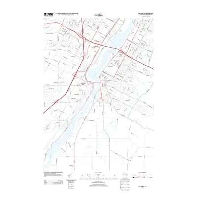
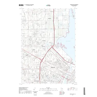
 - 1954 Map of Green Bay West, 1956 Print
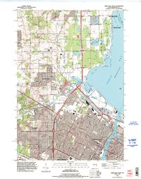
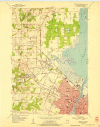 1954 Green Bay West1956 Print · USGSGreen Bay and its western suburbs thrive in the mid-fifties as industrial rail lines and new neighborhoods expand toward the bay. Researchers can trace the development of local education and industry through numerous sites like West High Sch, St Johns Cem, and the massive Power Plant on the Fox River.2 unique versions available
 - 1954 Map of De Pere, 1956 Print
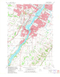
 1954 De Pere1956 Print · USGSIn the mid-1950s, the Fox River Valley bustled with industry, education, and expansion between Green Bay and De Pere. Genealogists and historians can trace the foundations of St Norbert College, the location of the State Reformatory, and early schools like Babcock Sch.2 unique versions available
 - 1954 Map of Green Bay, 1980 Print
 1954 Green Bay1980 Print · USGSGreen Bay and Brown County are shown during a period of steady mid-century growth and agricultural prominence. Researchers can trace family roots through numerous country schools like White Pine Sch and established cemeteries such as Chase Cem and Peace Cem.
 - 1955 Map of Green Bay, 1968 Print
 1955 Green Bay1968 Print · USGSCentral and Eastern Wisconsin are captured here in the mid-fifties, showing the industrial growth of the Fox Valley and Wisconsin River corridors. Genealogists and historians can trace rail lines like the Green Bay and Western through settlements like Weyauwega, Clintonville, and Pulaski.2 unique versions available
 - 1982 Map of De Pere
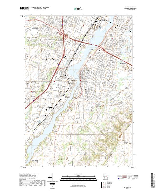
 1982 De Pere1982 Print · USGSDe Pere and the Fox River corridor are captured here in the early eighties as the region balanced its industrial roots with suburban growth. Researchers can trace institutional landmarks like St Norbert College or the legacy of rail at the National Railroad Museum.
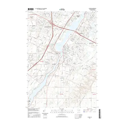
 - 1982 Map of Green Bay West, 1983 Print
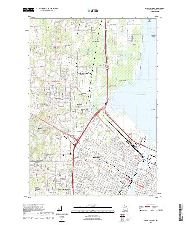
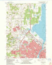 1982 Green Bay West1983 Print · USGSThe Fox River waterfront and Green Bay's western suburbs are captured here during a period of significant growth. Genealogists and historians can trace neighborhood development near Fort Howard Cemetery or locate local landmarks like Lambeau Field and Plainview Landing Strip.
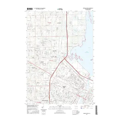
 - 1984 Map of Appleton, 1985 Print
 1984 Appleton1985 Print · USGSThe Fox River Valley in the mid-eighties shows a bustling corridor of industry and nature, from the shores of Lake Winnebago to the Oneida Indian Reservation. Trace local heritage through landmarks like Riverside Cem or explore the wetlands of Poygan Marsh State Wildlife Area.2 unique versions available
 - 1984 Map of Shawano, 1985 Print
 1984 Shawano1985 Print · USGSNortheast Wisconsin in the mid-1980s was a landscape defined by its indigenous heritage and the bustling trade centers of the Fox and Wolf River valleys. Genealogists and historians can trace rail corridors like the Chicago and North Western or locate family sites near Keshena, Cecil, and the Fort Howard Cem.2 unique versions available
 - 1992 Map of De Pere, 1996 Print
 1992 De Pere1996 Print · USGSThe Fox River valley in the early nineties shows a landscape of institutional growth and deep-rooted community history. Researchers can find St Norbert College, the National Railroad Museum, and the historic path of Old Military Road near the De Pere Dam.
 - 1992 Map of Green Bay West, 1996 Print
 1992 Green Bay West1996 Print · USGSThe Fox River shoreline and the western suburbs of Green Bay are shown here during a period of significant growth in the early nineties. Researchers can trace the boundaries of the Oneida Indian Reservation and locate local landmarks like Elm Tree Corners and the Fort Howard Cemetery.
 - 2010 Map of De Pere, 2010 Print
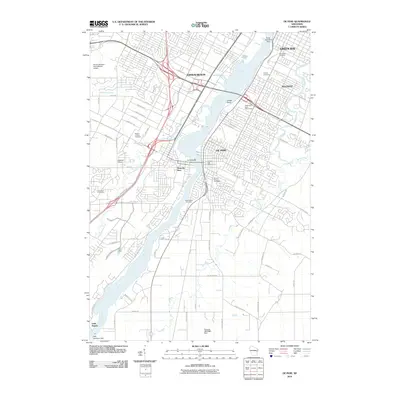 2010 De Pere2010 Print · USGSCovers Olde Norwood, including Green Bay, De Pere, and other nearby areas
 - 2010 Map of Green Bay West, 2010 Print
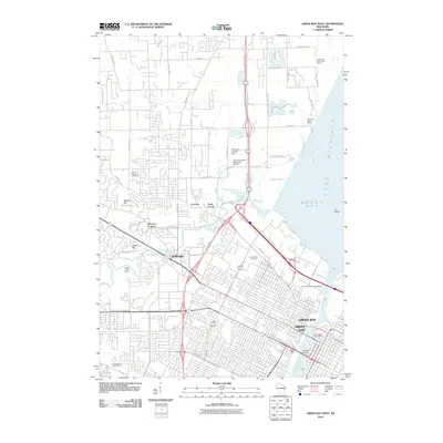 2010 Green Bay West2010 Print · USGSCovers Olde Norwood, including Green Bay, Howard, and other nearby areas
 - 2013 Map of Green Bay West, 2013 Print
 2013 Green Bay West2013 Print · USGSCovers Olde Norwood, including Green Bay, Howard, and other nearby areas
 - 2013 Map of De Pere, 2013 Print
 2013 De Pere2013 Print · USGSCovers Olde Norwood, including Green Bay, De Pere, and other nearby areas
 - 2016 Map of Green Bay West, 2016 Print
 2016 Green Bay West2016 Print · USGSCovers Olde Norwood, including Green Bay, Howard, and other nearby areas
 - 2016 Map of De Pere, 2016 Print
 2016 De Pere2016 Print · USGSCovers Olde Norwood, including Green Bay, De Pere, and other nearby areas
 - 2018 Map of De Pere, 2018 Print
 2018 De Pere2018 Print · USGSCovers Olde Norwood, including Green Bay, De Pere, and other nearby areas
 - 2018 Map of Green Bay West, 2018 Print
 2018 Green Bay West2018 Print · USGSCovers Olde Norwood, including Green Bay, Howard, and other nearby areas
 - 2022 Map of Green Bay West, 2022 Print
 2022 Green Bay West2022 Print · USGSGreen Bay and the surrounding Brown County landscape are captured here in the early twenty-first century as the city spreads toward Lake Michigan. Genealogists and local historians can trace the sites of Saint John the Baptist Cemetery, the Brown County Courthouse, and the community of Elm Tree Corners.
 - 2022 Map of De Pere, 2022 Print
 2022 De Pere2022 Print · USGSThe Fox River corridor south of Green Bay is shown in detail during the early 2020s, highlighting the area's deep-rooted academic and religious identity. Genealogists can trace family plots across Saint Norbert Abbey Cem, Woodlawn Cem, and Lawrence Cem.
End of results
Showing maps 1-21 of 21
Frequently asked questions
- What are the different types of historical maps available for Olde Norwood?
- What is the oldest map of Olde Norwood?
- Where can I purchase historical maps of Olde Norwood for my home or office?
- Where can I download high-res historical maps of Olde Norwood?
- Are there historical topographic maps available for Olde Norwood?
- Is there historical aerial imagery available for Olde Norwood?
- Where are historical maps of Olde Norwood sourced from?