Old Maps of Langes Corners, New Denmark for Academic Research
Study the evolution of Langes Corners with 10 high-resolution historic maps. Whether you're teaching, researching, or modeling changes in land use, these maps provide essential visual documentation of urban, environmental, and geographic change.
- Analyze long-term change: Track patterns in development, transportation, and natural features.
- Ideal for environmental or urban studies: Support academic projects with primary historical map data.
- Use in the classroom or lab: Educators and researchers rely on these maps to bring historical context to life.
These maps are a powerful tool for teaching, research, and visualizing how Langes Corners has changed over the decades.
Langes Corners, New Denmark maps
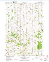
(10)- 1954 Map of Denmark, 1956 Print
 1954 Denmark1956 Print · USGSSoutheast of Green Bay in the mid-fifties, this area shows a dense network of rural schoolhouses and parish churches. Genealogists can trace family roots through sites like Little Irish Church Cem, Coppens Corner, and the East Wayside Sch (Abandoned).2 unique versions available
 - 1954 Map of Manitowoc, 1968 Print
 1954 Manitowoc1968 Print · USGSLake Michigan served as a vital transit corridor in the mid-fifties, with car and auto ferries linking the industrial ports of Wisconsin to the Michigan timberlands. Genealogists and maritime historians can trace active ferry routes like the Ann Arbor Railway Car and Auto Ferry and locate early settlements from Brussels to Algoma.2 unique versions available
 - 1958 Map of Manitowoc
 1958 Manitowoc1958 Print · USGSLake Michigan and its shorelines are shown in the late fifties when maritime transport defined the region. Researchers can trace the routes of the Ann Arbor Railroad Ferry or locate old settlements like St. Nazianz, Rostock, and Two Creeks.
 - 1978 Map of Poland, 1979 Print
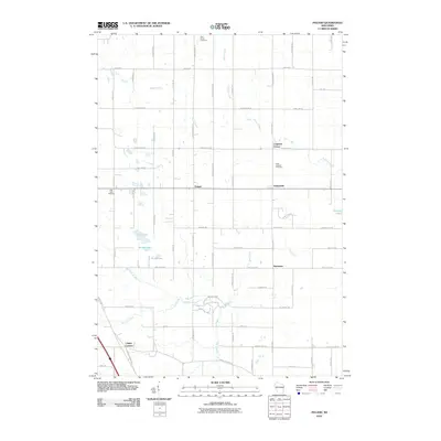
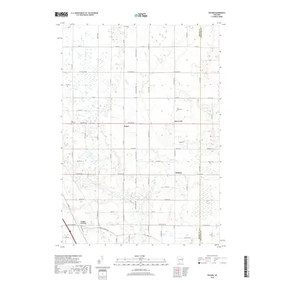
 1978 Poland1979 Print · USGSThe rural borderlands of Brown and Kewaunee counties are captured here in the late seventies. Researchers can locate family-named landmarks like Coppens Corner, trace the Chicago and North Western rail line, or find local burial records at St Josephs Cem.2 unique versions available
 - 1984 Map of Manitowoc, 1985 Print
 1984 Manitowoc1985 Print · USGSThe Lake Michigan shoreline of eastern Wisconsin is captured here in the mid-eighties, showing the bustling ports and rail-fed industry of the era. Genealogists and researchers can trace family-named sites near Stangelville, find the Francis Creek National Cem, or locate the U S Coast Guard Station.2 unique versions available
 - 2010 Map of Poland, 2010 Print
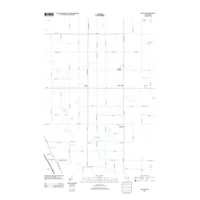
 2010 Poland2010 Print · USGSCovers Langes Corners, including Humboldt, Eaton, and other nearby areas
 - 2013 Map of Poland, 2013 Print
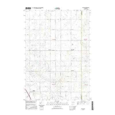
 2013 Poland2013 Print · USGSCovers Langes Corners, including Humboldt, Eaton, and other nearby areas
 - 2015 Map of Poland, 2015 Print
 2015 Poland2015 Print · USGSCovers Langes Corners, including Humboldt, Eaton, and other nearby areas
 - 2018 Map of Poland, 2018 Print
 2018 Poland2018 Print · USGSCovers Langes Corners, including Humboldt, Eaton, and other nearby areas
 - 2022 Map of Poland, 2022 Print
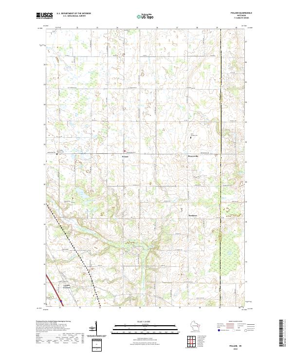 2022 Poland2022 Print · USGSEastern Brown County comes into focus in this recent survey of rural Wisconsin farm country and small crossroads communities. Genealogists and local historians can locate family plots at Saint Marys Cem and trace the wetlands surrounding Section Seven Swamp and Lilly Lake.
End of results
Showing maps 1-10 of 10
Top cities near Langes Corners
- Green Bay historical maps
- De Pere historical maps
- Howard historical maps
- Allouez historical maps
- Bellevue historical maps
- Suamico historical maps
See more
Frequently asked questions
- What are the different types of historical maps available for Langes Corners?
- What is the oldest map of Langes Corners?
- Where can I purchase historical maps of Langes Corners for my home or office?
- Where can I download high-res historical maps of Langes Corners?
- Are there historical topographic maps available for Langes Corners?
- Is there historical aerial imagery available for Langes Corners?
- Where are historical maps of Langes Corners sourced from?