Old Maps of Burnett County, Wisconsin
Explore 60 old maps of Burnett County, spanning from 1949 to today. These high-resolution historic maps reveal how streets, neighborhoods, landmarks, and natural features evolved over time — perfect for genealogy, metal detecting, research, and local history exploration.
What you can do with these maps:
- See how Burnett County changed over time: Compare historical maps to modern-day views to trace roads, homesites, rail lines & more.
- View detailed metadata: Each map includes creators, publishers, year, scale, and archive source.
- Overlay maps with satellite & LiDAR: Visualize the past alongside modern tools to explore terrain & human change.
- Trusted historical sources: Maps sourced from the USGS, Library of Congress, and other archives.
- Access maps your way: View online, download high-res files, or order prints for personal or research use.
Start exploring old maps of Burnett County to uncover forgotten places, hidden landmarks, and the deep history beneath your feet.
Burnett County, WI maps
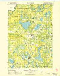
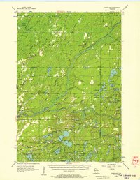
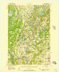
(60)- 1949 Map of Danbury
 1949 Danbury1949 Print · USGSCovers Burnett County, including Dairyland, Kingsdale, and other nearby areas
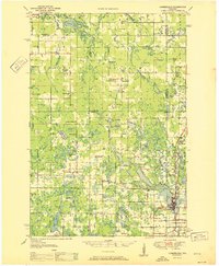
 - 1949 Map of Hertel
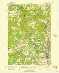
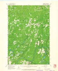
 1949 Hertel1949 Print · USGSCovers Burnett County, including Webb Lake, Hertel, and other nearby areas
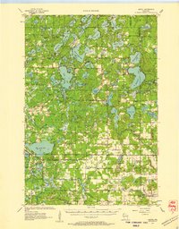
 - 1949 Map of Webb Lake
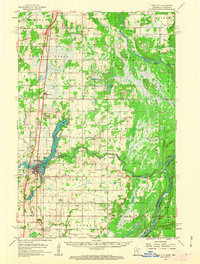
 1949 Webb Lake1949 Print · USGSCovers Burnett County, including Gordon, Wascott, and other nearby areas
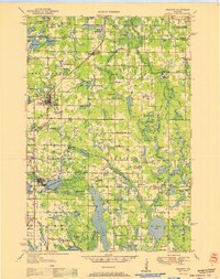
 - 1950 Map of Webster
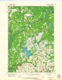
 1950 Webster1950 Print · USGSCovers Burnett County, including Siren, Webster, and other nearby areas
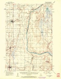
 - 1950 Map of Rush City
 1950 Rush City1950 Print · USGSCovers Burnett County, including North Branch, Rush City, and other nearby areas
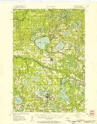
 - 1950 Map of Grantsburg
 1950 Grantsburg1950 Print · USGSCovers Burnett County, including Grantsburg, Arlone Township, and other nearby areas
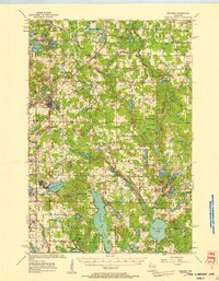
 - 1951 Map of Cumberland
 1951 Cumberland1951 Print · USGSCovers Burnett County, including Cumberland, McKinley, and other nearby areas
 - 1951 Map of Milltown
 1951 Milltown1951 Print · USGSCovers Burnett County, including Trade Lake, Milltown, and other nearby areas
 - 1951 Map of Frederic
 1951 Frederic1951 Print · USGSCovers Burnett County, including Frederic, Luck, and other nearby areas
 - 1953 Map of Duluth, 1964 Print
 1953 Duluth1964 Print · USGSCovers Burnett County, including Duluth, Superior, and other nearby areas2 unique versions available
 - 1953 Map of Stillwater, 1980 Print
 1953 Stillwater1980 Print · USGSCovers Burnett County, including Minneapolis, Brooklyn Park, and other nearby areas
 - 1955 Map of Hertel, 1957 Print
 1955 Hertel1957 Print · USGSCovers Burnett County, including Webb Lake, Hertel, and other nearby areas2 unique versions available
 - 1955 Map of Webb Lake, 1957 Print
 1955 Webb Lake1957 Print · USGSCovers Burnett County, including Gordon, Wascott, and other nearby areas2 unique versions available
 - 1955 Map of Webster, 1957 Print
 1955 Webster1957 Print · USGSCovers Burnett County, including Siren, Webster, and other nearby areas3 unique versions available
 - 1955 Map of Frederic, 1957 Print
 1955 Frederic1957 Print · USGSCovers Burnett County, including Frederic, Luck, and other nearby areas
 - 1955 Map of Rush City, 1957 Print
 1955 Rush City1957 Print · USGSCovers Burnett County, including North Branch, Rush City, and other nearby areas5 unique versions available
 - 1955 Map of Milltown, 1957 Print
 1955 Milltown1957 Print · USGSCovers Burnett County, including Trade Lake, Milltown, and other nearby areas4 unique versions available
 - 1955 Map of Stillwater, 1965 Print
 1955 Stillwater1965 Print · USGSCovers Burnett County, including Minneapolis, Brooklyn Park, and other nearby areas
 - 1956 Map of Cumberland, 1957 Print
 1956 Cumberland1957 Print · USGSCovers Burnett County, including Cumberland, McKinley, and other nearby areas2 unique versions available
 - 1958 Map of Stillwater
 1958 Stillwater1958 Print · USGSCovers Burnett County, including Minneapolis, Brooklyn Park, and other nearby areas2 unique versions available
 - 1958 Map of Duluth
 1958 Duluth1958 Print · USGSCovers Burnett County, including Duluth, Superior, and other nearby areas
 - 1961 Map of Pine City, 1963 Print
 1961 Pine City1963 Print · USGSCovers Burnett County, including Pine City, Hinckley, and other nearby areas2 unique versions available
 - 1962 Map of Grantsburg, 1964 Print
 1962 Grantsburg1964 Print · USGSCovers Burnett County, including Grantsburg, Arlone Township, and other nearby areas
 - 1962 Map of Danbury, 1964 Print
 1962 Danbury1964 Print · USGSCovers Burnett County, including Dairyland, Kingsdale, and other nearby areas2 unique versions available
 - 1965 Map of Stillwater
 1965 Stillwater1965 Print · USGSCovers Burnett County, including Minneapolis, Brooklyn Park, and other nearby areas
Showing maps 1-25 of 60
Top cities of Burnett County
- Grantsburg historical maps
- Trade Lake historical maps
- Siren historical maps
- Webster historical maps
- Webb Lake historical maps
Frequently asked questions
- What are the different types of historical maps available for Burnett County?
- What is the oldest map of Burnett County?
- Where can I purchase historical maps of Burnett County for my home or office?
- Where can I download high-res historical maps of Burnett County?
- Are there historical topographic maps available for Burnett County?
- Is there historical aerial imagery available for Burnett County?
- Where are historical maps of Burnett County sourced from?