Old Maps of New Holstein, Wisconsin
Explore 18 old maps of New Holstein, spanning from 1954 to today. These high-resolution historic maps reveal how streets, neighborhoods, landmarks, and natural features evolved over time — perfect for genealogy, metal detecting, research, and local history exploration.
What you can do with these maps:
- See how New Holstein changed over time: Compare historical maps to modern-day views to trace roads, homesites, rail lines & more.
- View detailed metadata: Each map includes creators, publishers, year, scale, and archive source.
- Overlay maps with satellite & LiDAR: Visualize the past alongside modern tools to explore terrain & human change.
- Trusted historical sources: Maps sourced from the USGS, Library of Congress, and other archives.
- Access maps your way: View online, download high-res files, or order prints for personal or research use.
Start exploring old maps of New Holstein to uncover forgotten places, hidden landmarks, and the deep history beneath your feet.
New Holstein, WI maps
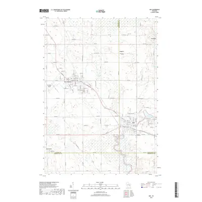
(18)- 1954 Map of Kiel, 1956 Print
 1954 Kiel1956 Print · USGSWisconsin's glacial landscape meets mid-century development in this survey of the four-county border region. Genealogists can trace family roots through numerous country churches like Holy Rosary Ch and schools including the Elder Grove Sch.2 unique versions available
 - 1957 Map of Madison, 1967 Print
 1957 Madison1967 Print · USGSSouth-central Wisconsin in the mid-fifties reveals a landscape of industrial hubs and glacial lakes linked by a dense rail and highway network. Genealogists and historians can trace the development of lakeside communities and find notable sites like Badger Ordnance Works and the Horicon National Wildlife Refuge.3 unique versions available
 - 1960 Map of Madison
 1960 Madison1960 Print · USGSCentral and Southern Wisconsin are captured in the late fifties, showing the region as its rail-and-river network matured. Trace the paths of the Soo Line RR or locate family roots near Lake Mendota and Horicon National Wildlife Refuge.2 unique versions available
 - 1974 Map of Kiel, 1977 Print
 1974 Kiel1977 Print · USGSThe manufacturing corridor between Kiel and New Holstein comes into focus in the mid-seventies, highlighting a landscape shaped by rail and river. Genealogists and local historians can trace family-named roads and landmarks like Holy Rosary Cem, the SS Peter and Paul Cem, and the old Kilns.
 - 1974 Map of Marytown, 1977 Print
 1974 Marytown1977 Print · USGSEastern Wisconsin dairy country is captured here in the mid-seventies at the meeting of Calumet, Fond du Lac, and Sheboygan counties. Genealogists can trace family farm locations near Marytown, Charlesburg, and the St Charles Cem.
 - 1980 Map of Fond Du Lac
 1980 Fond Du Lac1980 Print · USGSThe Fox River Valley and Horicon Marsh meet here during the late twentieth century, showing a transition from lakeside industry to glacial conservation. Genealogists can locate family sites at Estabrook Cem or trace the rail lines through Ripon and Waupun.
 - 1992 Map of Kiel, 1996 Print
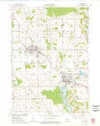
 1992 Kiel1996 Print · USGSKiel and New Holstein appear at a peak of late-century growth where the Sheboygan River meets the Wisconsin Central rail line. Researchers can locate many family burial grounds like Eaton Cemetery or trace landmarks such as the Municipal Airport and the waters of Schildhauer Pond.
 - 1992 Map of Marytown, 1996 Print
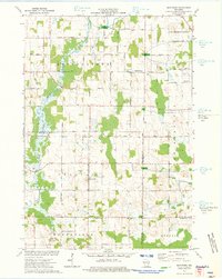
 1992 Marytown1996 Print · USGSCalumet County land patterns and rural settlements are preserved here as they appeared in the early nineties. Genealogists and local historians can locate Marytown and Charlesburg, tracing family-named roads and sites like the Saint Charles Cemetery and the Old Indian Treaty Boundary.
 - 2010 Map of Marytown, 2010 Print
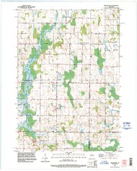
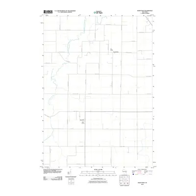 2010 Marytown2010 Print · USGSCovers New Holstein, including Brothertown, Charlesburg, and other nearby areas
 - 2010 Map of Kiel, 2010 Print
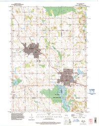
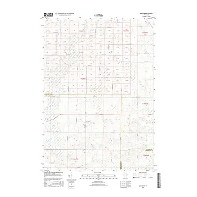
 2010 Kiel2010 Print · USGSCovers New Holstein, including Kiel, Rhine, and other nearby areas
 - 2013 Map of Marytown, 2013 Print
 2013 Marytown2013 Print · USGSCovers New Holstein, including Brothertown, Charlesburg, and other nearby areas
 - 2013 Map of Kiel, 2013 Print
 2013 Kiel2013 Print · USGSCovers New Holstein, including Kiel, Rhine, and other nearby areas
 - 2015 Map of Kiel, 2015 Print
 2015 Kiel2015 Print · USGSCovers New Holstein, including Kiel, Rhine, and other nearby areas
 - 2015 Map of Marytown, 2015 Print
 2015 Marytown2015 Print · USGSCovers New Holstein, including Brothertown, Charlesburg, and other nearby areas
 - 2018 Map of Marytown, 2018 Print
 2018 Marytown2018 Print · USGSCovers New Holstein, including Brothertown, Charlesburg, and other nearby areas
 - 2018 Map of Kiel, 2018 Print
 2018 Kiel2018 Print · USGSCovers New Holstein, including Kiel, Rhine, and other nearby areas
 - 2022 Map of Marytown, 2022 Print
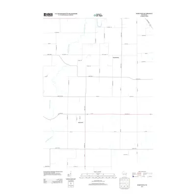
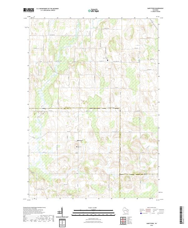 2022 Marytown2022 Print · USGSSettled farmland and rural crossroads define this Calumet County region during the early twenty-first century. Researchers can locate ancestral landmarks like Saint Marys Cem and Marytown, or trace the path of the South Branch Manitowoc River.
 - 2022 Map of Kiel, 2022 Print
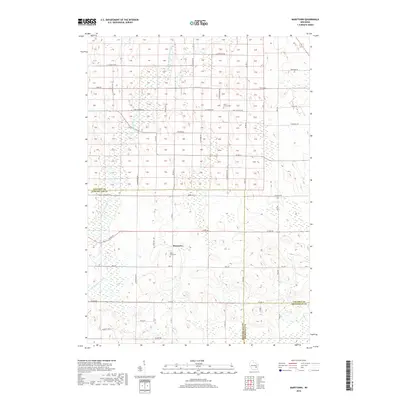
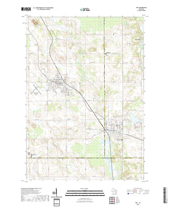 2022 Kiel2022 Print · USGSThe manufacturing and farming corridor of Calumet and Manitowoc counties comes into focus in the early 2020s. Researchers can trace family history at Holy Rosary Cem, explore the rural hamlet of Steinthal, or follow the Sheboygan River through Kiel.
End of results
Showing maps 1-18 of 18
Top cities near New Holstein
- Plymouth historical maps
- Harrison historical maps
- Taycheedah historical maps
- Chilton historical maps
- New Holstein historical maps
- Kiel historical maps
See more
Top neighborhoods of New Holstein
Frequently asked questions
- What are the different types of historical maps available for New Holstein?
- What is the oldest map of New Holstein?
- Where can I purchase historical maps of New Holstein for my home or office?
- Where can I download high-res historical maps of New Holstein?
- Are there historical topographic maps available for New Holstein?
- Is there historical aerial imagery available for New Holstein?
- Where are historical maps of New Holstein sourced from?