Old Maps of Taycheedah, Wisconsin
Explore 26 old maps of Taycheedah, spanning from 1910 to today. These high-resolution historic maps reveal how streets, neighborhoods, landmarks, and natural features evolved over time — perfect for genealogy, metal detecting, research, and local history exploration.
What you can do with these maps:
- See how Taycheedah changed over time: Compare historical maps to modern-day views to trace roads, homesites, rail lines & more.
- View detailed metadata: Each map includes creators, publishers, year, scale, and archive source.
- Overlay maps with satellite & LiDAR: Visualize the past alongside modern tools to explore terrain & human change.
- Trusted historical sources: Maps sourced from the USGS, Library of Congress, and other archives.
- Access maps your way: View online, download high-res files, or order prints for personal or research use.
Start exploring old maps of Taycheedah to uncover forgotten places, hidden landmarks, and the deep history beneath your feet.
Taycheedah, WI maps
(26)- 1910 Map of Fond du Lac
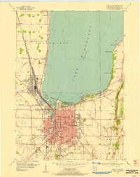
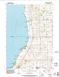
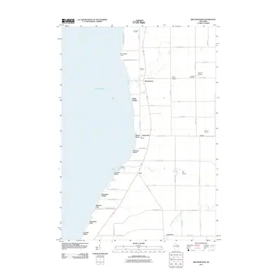
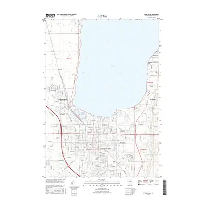
 1910 Fond du Lac1910 Print · USGSThe southern shores of Lake Winnebago appear in high detail during this era of rapid railroad expansion and agricultural growth. Genealogists and local historians can trace early property locations near Rienzi Cemetery, Brothertown, and the busy rail yards of North Fond du Lac.2 unique versions available
 - 1955 Map of Fond Du Lac, 1957 Print
 1955 Fond Du Lac1957 Print · USGSMid-century Fond du Lac County unfolds along the eastern shore of Lake Winnebago, where bustling city streets meet a coastline dotted with summer beaches and seaplane bases. Genealogists can trace family roots through Rienzi Cem, local parish schools like St Pauls Sch, and rural hamlets such as Taycheedah and Pipe.2 unique versions available
 - 1955 Map of Fond Du Lac, 1966 Print
 1955 Fond Du Lac1966 Print · USGSFond du Lac at the edge of the lake in the mid-fifties shows a bustling hub of rail, aviation, and education. Trace the development of Marian College, the sprawling rail yards in North Fond du Lac, and lakeside spots like Lakeside Park.2 unique versions available
 - 1957 Map of Madison, 1967 Print
 1957 Madison1967 Print · USGSSouth-central Wisconsin in the mid-fifties reveals a landscape of industrial hubs and glacial lakes linked by a dense rail and highway network. Genealogists and historians can trace the development of lakeside communities and find notable sites like Badger Ordnance Works and the Horicon National Wildlife Refuge.3 unique versions available
 - 1960 Map of Madison
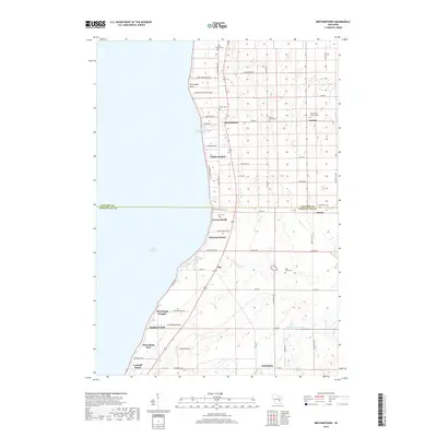
 1960 Madison1960 Print · USGSCentral and Southern Wisconsin are captured in the late fifties, showing the region as its rail-and-river network matured. Trace the paths of the Soo Line RR or locate family roots near Lake Mendota and Horicon National Wildlife Refuge.2 unique versions available
 - 1974 Map of St. Peter, 1978 Print
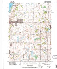
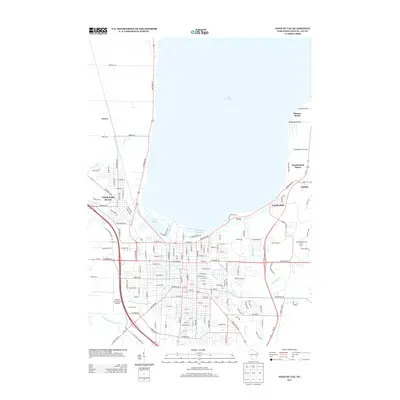
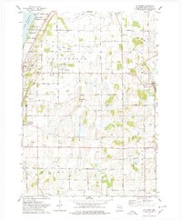 1974 St. Peter1978 Print · USGSThe eastern shore of Lake Winnebago meets the rural hills of Fond du Lac County in the mid-1970s. Genealogists and local historians can trace the foundations of St Peter, locate the Taycheedah Cem, and follow the Old Railroad Grade through Silica.
 - 1974 Map of Brothertown, 1978 Print
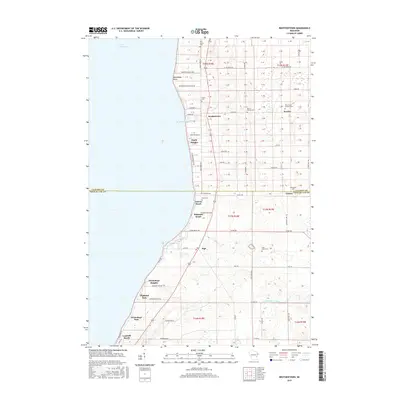
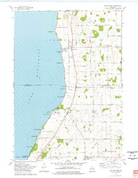 1974 Brothertown1978 Print · USGSThe eastern shores of Lake Winnebago come into focus during the mid-seventies, showing a landscape defined by historic county boundaries and shoreline developments. Genealogists and local researchers can trace sites like Union Cemetery, the crossroads at Jericho, and the lakeside community of Artesia Beach.
 - 1980 Map of Fond Du Lac
 1980 Fond Du Lac1980 Print · USGSThe Fox River Valley and Horicon Marsh meet here during the late twentieth century, showing a transition from lakeside industry to glacial conservation. Genealogists can locate family sites at Estabrook Cem or trace the rail lines through Ripon and Waupun.
 - 1992 Map of Fond Du Lac, 1996 Print
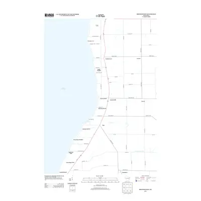
 1992 Fond Du Lac1996 Print · USGSThe southern shores of Lake Winnebago are seen here in the early 1990s as the city of Fond du Lac expands eastward. Researchers can trace local landmarks like Rienzi Cemetery, the Old Railroad Grade, and the shoreline settlements of Taycheedah and Peebles.
 - 1992 Map of Brothertown, 1996 Print
 1992 Brothertown1996 Print · USGSThe eastern shores of Lake Winnebago come into focus in the early nineties, revealing a landscape of lakeside hamlets and traditional farmsteads. Researchers can trace family roots at Union Cemetery or explore the development of coastal communities like Artesia Beach and Brothertown.
 - 1992 Map of Saint Peter, 1996 Print
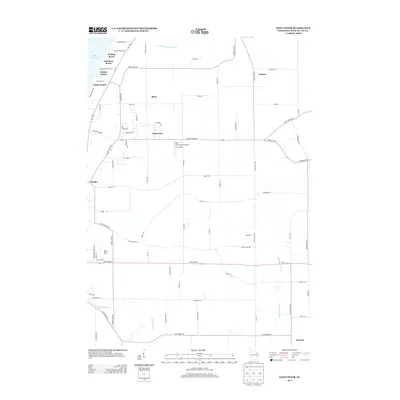
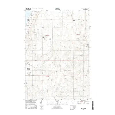
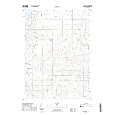
 1992 Saint Peter1996 Print · USGSSettlements along the eastern shore of Lake Winnebago appear in the early nineties, from the beaches near Peebles to the rural uplands. Trace the OLD RAILROAD GRADE and locate family landmarks like St Peters church or Forest Cemetery.
 - 2010 Map of Fond du Lac, 2010 Print
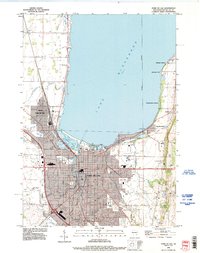
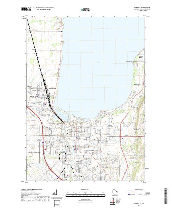
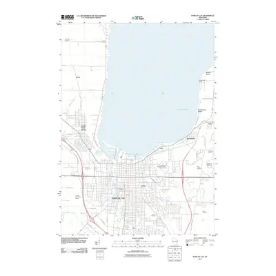 2010 Fond du Lac2010 Print · USGSCovers Taycheedah, including Fond du Lac, North Fond du Lac, and other nearby areas
 - 2010 Map of Saint Peter, 2010 Print
 2010 Saint Peter2010 Print · USGSCovers Taycheedah, including Fond du Lac, Mount Calvary, and other nearby areas
 - 2011 Map of Brothertown, 2011 Print
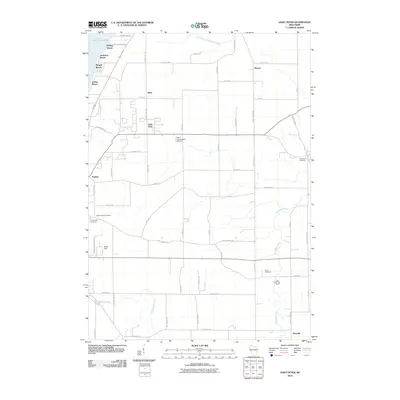
 2011 Brothertown2011 Print · USGSCovers Taycheedah, including Brothertown, Artesia Beach, and other nearby areas
 - 2013 Map of Fond du Lac, 2013 Print
 2013 Fond du Lac2013 Print · USGSCovers Taycheedah, including Fond du Lac, North Fond du Lac, and other nearby areas
 - 2013 Map of Brothertown, 2013 Print
 2013 Brothertown2013 Print · USGSCovers Taycheedah, including Brothertown, Artesia Beach, and other nearby areas
 - 2013 Map of Saint Peter, 2013 Print
 2013 Saint Peter2013 Print · USGSCovers Taycheedah, including Fond du Lac, Mount Calvary, and other nearby areas
 - 2015 Map of Fond du Lac, 2015 Print
 2015 Fond du Lac2015 Print · USGSCovers Taycheedah, including Fond du Lac, North Fond du Lac, and other nearby areas
 - 2015 Map of Saint Peter, 2015 Print
 2015 Saint Peter2015 Print · USGSCovers Taycheedah, including Fond du Lac, Mount Calvary, and other nearby areas
 - 2015 Map of Brothertown, 2015 Print
 2015 Brothertown2015 Print · USGSCovers Taycheedah, including Brothertown, Artesia Beach, and other nearby areas
 - 2018 Map of Saint Peter, 2018 Print
 2018 Saint Peter2018 Print · USGSCovers Taycheedah, including Fond du Lac, Mount Calvary, and other nearby areas
 - 2018 Map of Brothertown, 2018 Print
 2018 Brothertown2018 Print · USGSCovers Taycheedah, including Brothertown, Artesia Beach, and other nearby areas
 - 2018 Map of Fond du Lac, 2018 Print
 2018 Fond du Lac2018 Print · USGSCovers Taycheedah, including Fond du Lac, North Fond du Lac, and other nearby areas
 - 2022 Map of Saint Peter, 2022 Print
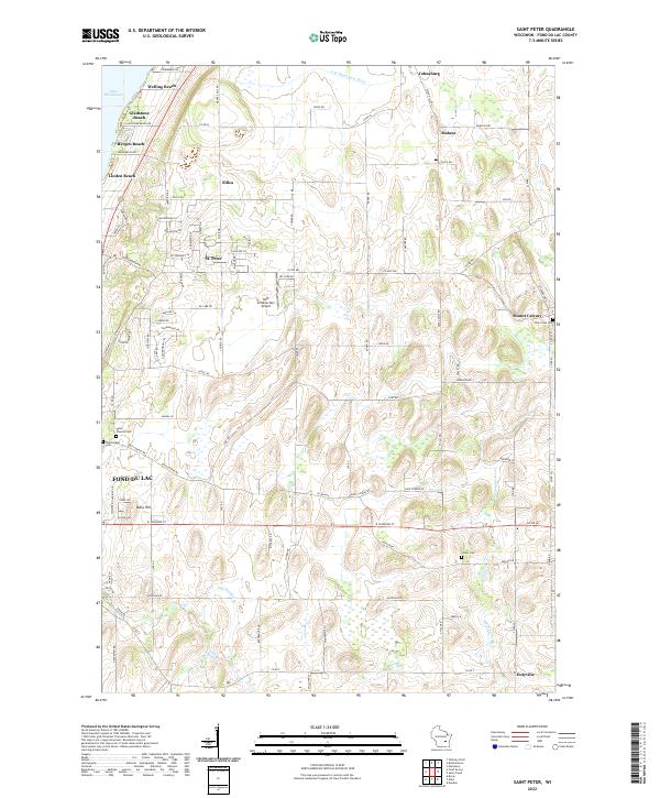 2022 Saint Peter2022 Print · USGSThe eastern shores of Lake Winnebago and the rural uplands of Fond du Lac County are captured here in the early twenty-first century. Researchers can locate family sites near Mount Calvary or trace the development of lakeside communities like Bergen Beach and Linden Beach.
 - 2022 Map of Fond du Lac, 2022 Print
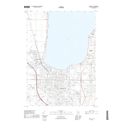
 2022 Fond du Lac2022 Print · USGSThe southern shore of Lake Winnebago comes into focus in this recent survey of the region's urban and recreational landscape. Genealogists and historians can trace cemetery locations like Rienzi Cem and explore the shoreline communities of Minawa Beach and Taycheedah.
Showing maps 1-25 of 26
Top cities near Taycheedah
- Oshkosh historical maps
- Fond du Lac historical maps
- North Fond du Lac historical maps
- Chilton historical maps
- New Holstein historical maps
- Greenbush historical maps
See more
Top neighborhoods of Taycheedah
- Hopokoekau Beach historical maps
- Minawa Beach historical maps
- Johnsburg historical maps
- Gladstone Beach historical maps
- Linden Beach historical maps
- Bergen Beach historical maps
See more
Frequently asked questions
- What are the different types of historical maps available for Taycheedah?
- What is the oldest map of Taycheedah?
- Where can I purchase historical maps of Taycheedah for my home or office?
- Where can I download high-res historical maps of Taycheedah?
- Are there historical topographic maps available for Taycheedah?
- Is there historical aerial imagery available for Taycheedah?
- Where are historical maps of Taycheedah sourced from?