Old Maps of Brownville, Colburn for Metal Detecting
Plan your next treasure hunt with 10 historic maps of Brownville. Find old homesites, ghost towns, trails, and gathering spots that may be lost to time — perfect for identifying promising metal detecting locations.
- Locate forgotten sites: Uncover places like long-lost settlements, abandoned rail lines, or gathering spots.
- Plan better hunts: Use map overlays combined with LiDAR or satellite views to narrow in on historically rich areas.
- Made for detectorists: Thousands of hobbyists use these maps to discover relics, coins, and hidden history.
Use these historic maps to boost your research and find new opportunities beneath the surface of Brownville.
Brownville, Colburn maps
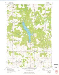
(10)- 1951 Map of Gilman, 1969 Print
 1951 Gilman1969 Print · USGSTaylor and Clark counties are captured here in the early fifties, showing a rural landscape defined by the Yellow River and the Soo Line railroad. Genealogists can locate numerous landmarks including the Russian Ch, Meadowbrook Cem, and the Sunnyview Sch.
 - 1953 Map of Rice Lake, 1967 Print
 1953 Rice Lake1967 Print · USGSNorthwest Wisconsin during the mid-fifties reveals a landscape defined by timber, rail, and water. Genealogists and historians can trace the development of river towns like Ladysmith and Rice Lake along the Soo Line and Chicago and North Western railroads.2 unique versions available
 - 1959 Map of Rice Lake
 1959 Rice Lake1959 Print · USGSNorthwest Wisconsin in the late fifties was a land of expanding road networks and deep-seated timber history. Genealogists and historians can trace rail lines like the Soo Line RR and Chicago St Paul Minneapolis and Omaha Ry as they link settlements from Spooner to Medford.
 - 1973 Map of Huron, 1976 Print
 1973 Huron1976 Print · USGSWisconsin's lake country in the early 1970s is shown here at the intersection of Chippewa, Taylor, and Clark counties. Researchers can trace the Old Railroad Grade near Brownville or locate local landmarks like the Gilman Lookout Tower and Huron.
 - 1980 Map of Medford
 1980 Medford1980 Print · USGSNorth-central Wisconsin in the early eighties shows a landscape of dense timber and rail-linked settlements. Genealogists and historians can trace the Soo Line through towns like Medford and Westboro or locate family homesteads near Perkinstown and Athens.
 - 2010 Map of Huron, 2010 Print
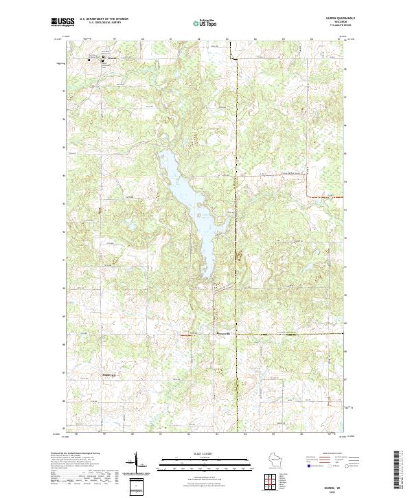
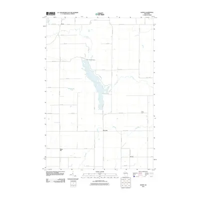 2010 Huron2010 Print · USGSCovers Brownville, including Colburn, Delmar, and other nearby areas
 - 2013 Map of Huron, 2013 Print
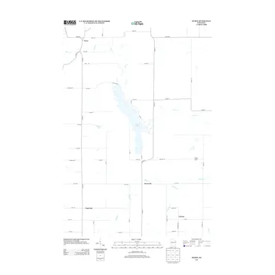 2013 Huron2013 Print · USGSCovers Brownville, including Colburn, Delmar, and other nearby areas
 - 2015 Map of Huron, 2015 Print
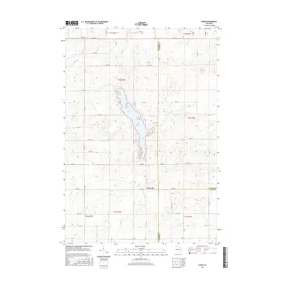 2015 Huron2015 Print · USGSCovers Brownville, including Colburn, Delmar, and other nearby areas
 - 2018 Map of Huron, 2018 Print
 2018 Huron2018 Print · USGSCovers Brownville, including Colburn, Delmar, and other nearby areas
 - 2022 Map of Huron, 2022 Print
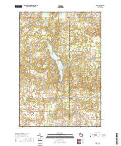
 2022 Huron2022 Print · USGSThe crossroads of Chippewa, Taylor, and Clark counties come together in this 2022 survey of Huron and the central Wisconsin wetlands. Genealogists and hikers alike can trace the paths between Saint Johns Orthodox Cem, the shores of Otter Lake, and the winding Ice Age National Scenic Trl.
End of results
Showing maps 1-10 of 10
Top cities near Brownville
- Stanley historical maps
- Thorp historical maps
- Cornell historical maps
- Cadott historical maps
- Edson historical maps
- Colburn historical maps
See more
Frequently asked questions
- What are the different types of historical maps available for Brownville?
- What is the oldest map of Brownville?
- Where can I purchase historical maps of Brownville for my home or office?
- Where can I download high-res historical maps of Brownville?
- Are there historical topographic maps available for Brownville?
- Is there historical aerial imagery available for Brownville?
- Where are historical maps of Brownville sourced from?