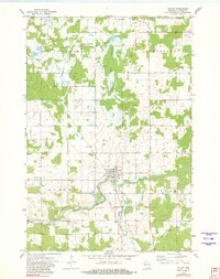
1951 Map of Gilman
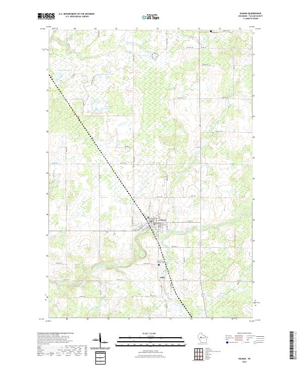
USGS Topo · Published 1969About this map
The Yellow River and the Minneapolis St Paul and Sault Ste Marie railroad corridor define the settlement patterns of this central Wisconsin landscape in the mid-20th century. The village of Gilman serves as a local hub, featuring a Water Tank and Town Hall, while smaller communities like Bellinger, Polley, and Huron are dispersed across the terrain. The map reveals a high density of rural social infrastructure, including the Russian Ch and numerous district schools such as the Red Brick Sch, Mayflower Sch, and Yaeger Sch.
Find a feature on this map
53 named features on this map. Tap any name to fly to it.
Don’t see what you’re looking for? This feature index may not catch every label — zoom into the map to look around manually.
Map Details
Editions of this 1951 Gilman Map
This is the sole edition of this map. No revisions or reprints were ever made.