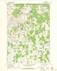
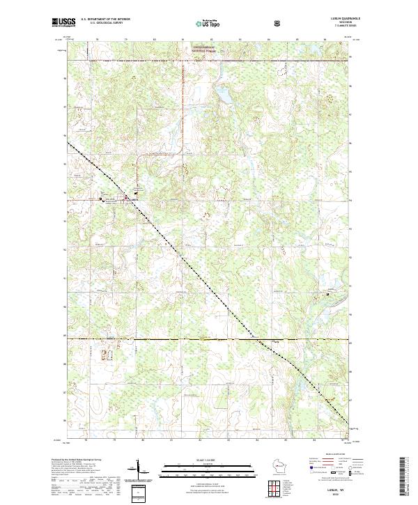
1951 Map of Lublin
USGS Topo · Published 1953About this map
The village of Lublin serves as a primary rail hub for this section of Taylor County, situated along the Minneapolis St Paul and Sault Ste Marie line. The northern half of the region is defined by the dense, lake-pocked woods of the Chequamegon National Forest, where landmarks like the Perkinstown Lookout Tower overlook a landscape of small glacial basins including Kathryn Lake and Nancy Lake. In contrast, the southern townships like Maplehurst and Holway show a transition into a settled agricultural grid, characterized by numerous rural schoolhouses such as Riverside Sch and Pine Creek Sch. The Yellow River and its tributaries, including Mink Creek and Beaver Creek, drain this complex terrain, reflecting the post-war era's balance between protected timberlands and the expansion of small-scale family farming communities.
Find a feature on this map
72 named features on this map. Tap any name to fly to it.
Don’t see what you’re looking for? This feature index may not catch every label — zoom into the map to look around manually.
Map Details
Editions of this 1951 Lublin Map
This is the sole edition of this map. No revisions or reprints were ever made.
Historical Maps of Maplehurst Through Time
8 maps found