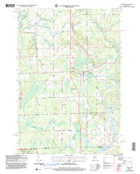
1949 Map of Ogema
USGS Topo · Published 1949About this map
The Minneapolis St Paul and Sault Ste Marie Railway corridor anchors this late-1940s survey of Price and Taylor Counties, connecting the villages of Ogema and Westboro. This northern Wisconsin timber and dairy landscape is defined by the dense network of rural one-room schoolhouses that once served these dispersed communities, including Woodland School, Larkin School, and Maple Grove School. To the west, the Chequamegon National Forest encompasses the drainage of the South Fork Jump River and the Mondeaux River, where the Mondeaux Dam controls the flow near the Rindt Fire Tower. The map provides a detailed look at local infrastructure before modern consolidation, showing numerous small lakes such as Chelsea Lake and North Twin Lake alongside the Mt Olive Cemetery, preserving the mid-century layout of these Northwoods townships.
Find a feature on this map
52 named features on this map. Tap any name to fly to it.
Don’t see what you’re looking for? This feature index may not catch every label — zoom into the map to look around manually.
Map Details
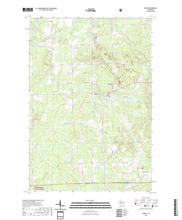
Editions of this 1949 Ogema Map
This is the sole edition of this map. No revisions or reprints were ever made.
Historical Maps of Ogema Through Time
6 maps found