Old Maps of Dorchester, Wisconsin for Hiking & Exploration
Hike through history with 14 historic maps of Dorchester. Explore old trails, ghost towns, and forgotten backroads — perfect for outdoor adventurers and local explorers.
- Rediscover forgotten places: Map out old mining camps, roads, and footpaths that no longer exist on modern maps.
- Layer with modern tools: Combine with LiDAR or satellite views to plan hikes through historical terrain.
- Made for exploration: Popular among hikers, overlanders, and local history lovers.
Use these maps to find adventure and explore the hidden past of Dorchester.
Dorchester, WI maps
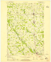
(14)- 1951 Map of Medford, 1954 Print
 1951 Medford1954 Print · USGSMedford and the surrounding Taylor County townships are captured here in the early fifties, showing a landscape defined by dairy farming and rail transport. Genealogists can locate numerous country schoolhouses like Thielke Sch and rural burial grounds including Little Black Cem.
 - 1953 Map of Abbotsford, 1955 Print
 1953 Abbotsford1955 Print · USGSCentral Wisconsin dairy country in the early fifties reveals a landscape tightly organized around the rail line and township sections. Genealogists can trace family roots through numerous local landmarks like Riplinger, St Johannis Ch, and Pickard Sch.
 - 1953 Map of Eau Claire, 1965 Print
 1953 Eau Claire1965 Print · USGSWest-central Wisconsin in the mid-fifties shows a landscape of river-valley industry and vast wildlife refuges during the transition from rails to modern highways. Genealogists and historians can trace the rail corridors of the Chicago and North Western or locate family-named landmarks like Decorah Mound and Chippewa Island.4 unique versions available
 - 1953 Map of Rice Lake, 1967 Print
 1953 Rice Lake1967 Print · USGSNorthwest Wisconsin during the mid-fifties reveals a landscape defined by timber, rail, and water. Genealogists and historians can trace the development of river towns like Ladysmith and Rice Lake along the Soo Line and Chicago and North Western railroads.2 unique versions available
 - 1958 Map of Eau Claire
 1958 Eau Claire1958 Print · USGSWestern Wisconsin in the late fifties shows a landscape of growing regional hubs and massive wildlife refuges. Trace the rail lines of the Chicago and North Western between Eau Claire and Marshfield, or explore the terrain around Iron Mound and Lake Wissota.
 - 1959 Map of Rice Lake
 1959 Rice Lake1959 Print · USGSNorthwest Wisconsin in the late fifties was a land of expanding road networks and deep-seated timber history. Genealogists and historians can trace rail lines like the Soo Line RR and Chicago St Paul Minneapolis and Omaha Ry as they link settlements from Spooner to Medford.
 - 1963 Map of Abbotsford, 1964 Print
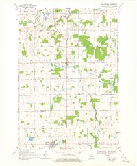
 1963 Abbotsford1964 Print · USGSWisconsin's dairy heartland is mapped here in the early sixties, showing the vital junctions of the central townships. Local historians can trace family land across Unity, Beaver, and Sherman, locating landmarks like Beaver Center Sch and St Johns Cem.
 - 1964 Map of Eau Claire
 1964 Eau Claire1964 Print · USGSWest-central Wisconsin in the mid-1960s was a hub of river-driven industry and expanding rail networks. Researchers can trace historic homesteads near Menomonie, follow the Soo Line RR through Marshfield, or explore the grounds of the Camp McCoy Military Reservation.
 - 1969 Map of Stetsonville, 1971 Print
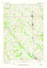
 1969 Stetsonville1971 Print · USGSThe dairy lands of Central Wisconsin are documented here in the late sixties, showing the rural communities of Stetsonville and Dorchester along the Soo Line. Genealogists and historians can locate legacy sites like Sacred Heart Cem, Victory Sch, and the North Memorial Cem.
 - 1980 Map of Medford
 1980 Medford1980 Print · USGSNorth-central Wisconsin in the early eighties shows a landscape of dense timber and rail-linked settlements. Genealogists and historians can trace the Soo Line through towns like Medford and Westboro or locate family homesteads near Perkinstown and Athens.
 - 1981 Map of Abbotsford, 1982 Print
 1981 Abbotsford1982 Print · USGSAbbotsford and Colby straddle the county line in the early eighties, serving as a hub for the surrounding central Wisconsin dairy lands. Researchers can locate the Colby Cemetery, the Colby-Abbotsford Airport, and the former Drive-in Theater along the Soo Line corridor.
 - 1984 Map of Marshfield, 1985 Print
 1984 Marshfield1985 Print · USGSCentral Wisconsin's dairy heartland comes into focus during the mid-eighties as a busy network of rail and farm towns. Researchers can trace the path of the Soo Line, identify the grounds of McMillan State Wildlife Area, and locate smaller settlements like Spokeville and Tioga.2 unique versions available
 - 2022 Map of Abbotsford, 2022 Print
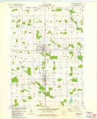
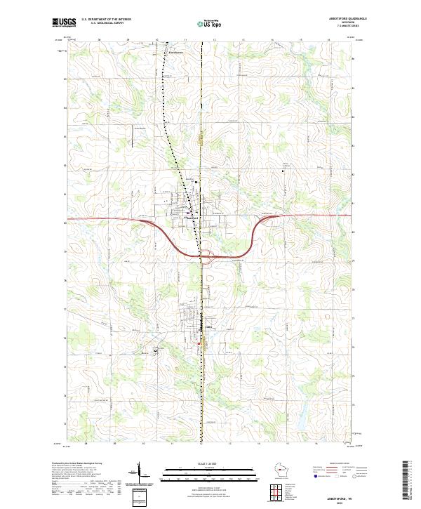 2022 Abbotsford2022 Print · USGSWisconsin's central dairy country is shown in detail during the early 2020s, highlighting the border between Clark and Marathon counties. Genealogists and researchers can locate Colby Cemetery, Christ Lutheran Cemetery, and the residential grids of Abbotsford and Colby.
 - 2022 Map of Stetsonville, 2022 Print
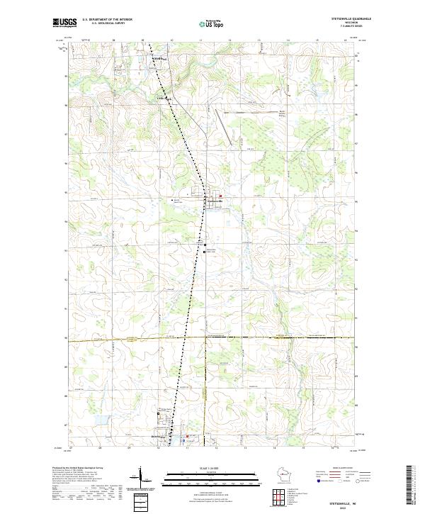 2022 Stetsonville2022 Print · USGSTaylor County agriculture and transit take center stage in the early twenty-first century as the landscape remains anchored by small townships and river headwaters. Family researchers can trace local roots through Stetsonville Public Cem and identify historical property lines near Little Black.
End of results
Showing maps 1-14 of 14
Top cities near Dorchester
- Medford historical maps
- Abbotsford historical maps
- Colby historical maps
- Little Black historical maps
- Owen historical maps
- Unity historical maps
See more
Frequently asked questions
- What are the different types of historical maps available for Dorchester?
- What is the oldest map of Dorchester?
- Where can I purchase historical maps of Dorchester for my home or office?
- Where can I download high-res historical maps of Dorchester?
- Are there historical topographic maps available for Dorchester?
- Is there historical aerial imagery available for Dorchester?
- Where are historical maps of Dorchester sourced from?