Old Maps of Fort Winnebago, Wisconsin for Hiking & Exploration
Hike through history with 30 historic maps of Fort Winnebago. Explore old trails, ghost towns, and forgotten backroads — perfect for outdoor adventurers and local explorers.
- Rediscover forgotten places: Map out old mining camps, roads, and footpaths that no longer exist on modern maps.
- Layer with modern tools: Combine with LiDAR or satellite views to plan hikes through historical terrain.
- Made for exploration: Popular among hikers, overlanders, and local history lovers.
Use these maps to find adventure and explore the hidden past of Fort Winnebago.
Fort Winnebago, WI maps
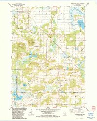
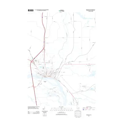
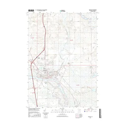
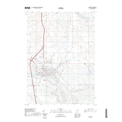
(30)- 1902 Map of Portage
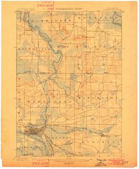 1902 Portage1902 Print · USGSPortage and the surrounding marshlands of Columbia County appear here at the turn of the century, centered on the strategic divide between the Wisconsin River and Fox River. Genealogists and rail historians can trace the early footprints of Portage, the canal-era site of Fort Hope, and rural communities like Pardeeville and Marcellon.3 unique versions available
 - 1957 Map of Madison, 1967 Print
 1957 Madison1967 Print · USGSSouth-central Wisconsin in the mid-fifties reveals a landscape of industrial hubs and glacial lakes linked by a dense rail and highway network. Genealogists and historians can trace the development of lakeside communities and find notable sites like Badger Ordnance Works and the Horicon National Wildlife Refuge.3 unique versions available
 - 1960 Map of Madison
 1960 Madison1960 Print · USGSCentral and Southern Wisconsin are captured in the late fifties, showing the region as its rail-and-river network matured. Trace the paths of the Soo Line RR or locate family roots near Lake Mendota and Horicon National Wildlife Refuge.2 unique versions available
 - 1962 Map of Portage, 1964 Print
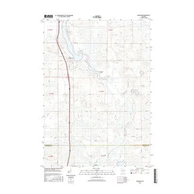
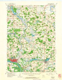 1962 Portage1964 Print · USGSPortage and its surrounding river country are captured here in the early sixties, showing the vital connection between the Fox and Wisconsin Rivers. Genealogists can trace family roots through the Old Fort Winnebago Cem and rural settlements like Marcellon and Endeavor.
 - 1984 Map of Portage
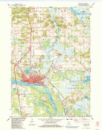 1984 Portage1984 Print · USGSPortage thrived as a vital river junction in the 1980s, where a historic Canal and lock connected the state's major waterways. Genealogists can locate several burial grounds including Old Fort Winnebago Cem and trace the Old Indian Treaty Boundary.2 unique versions available
 - 1984 Map of Endeavor
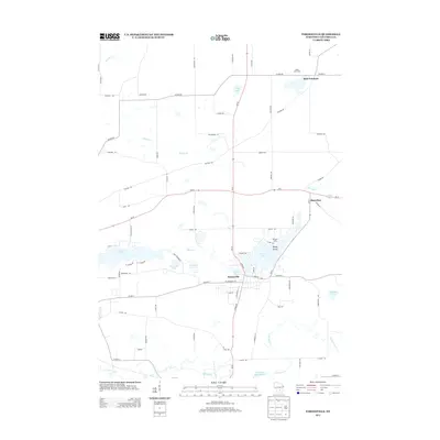
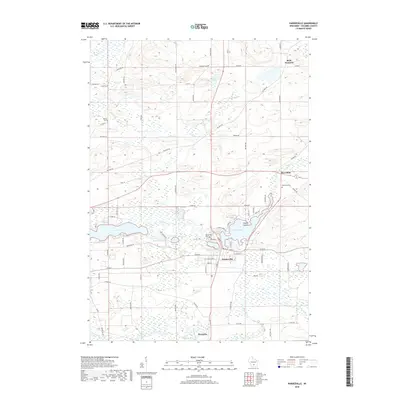
 1984 Endeavor1984 Print · USGSThe riverine corridor of Marquette County is documented here in the mid-1980s as it transitions from the village of Endeavor into expansive wetlands. Genealogists and local historians can trace family sites at the Moundville Ch, Rood Cem, and the shores of Ennis Lake.
 - 1984 Map of Observatory Hill
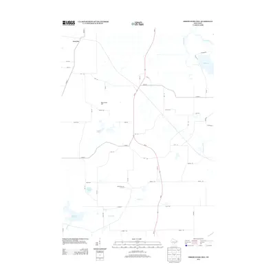
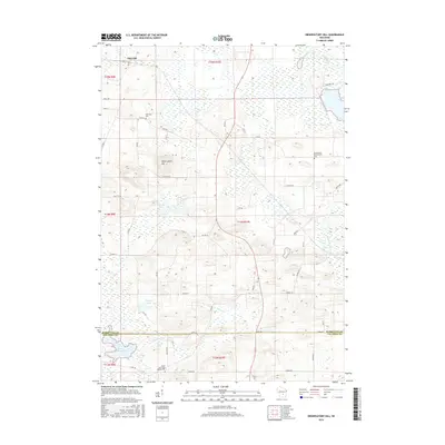
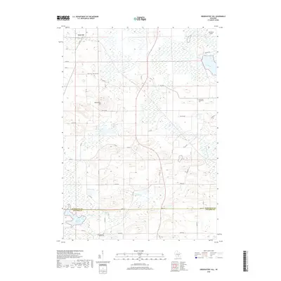
 1984 Observatory Hill1984 Print · USGSMarquette and Columbia counties are captured here in the mid-1980s, where rural township life meets significant wildlife conservation lands. Researchers can trace historical footprints along the Indian Treaty Boundary or locate family sites like Log Cabin Sch and Oak Lawn Cem.
 - 1984 Map of Pardeeville
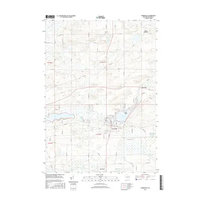
 1984 Pardeeville1984 Print · USGSMid-century Columbia County reveals a landscape shaped by glacial waters and early Wisconsin history. Genealogists and local historians can trace family roots at Comstock Cemetery, locate the Marcellon School, or follow the historic INDIAN TREATY BOUNDARY.
 - 1985 Map of Wisconsin Dells
 1985 Wisconsin Dells1985 Print · USGSCentral Wisconsin in the mid-eighties was a landscape of intricate river bends, rail junctions, and sprawling marshlands. Researchers can trace historic routes along the Soo Line or locate family landmarks near Lyndon Station, Buffalo Lake, and Puckaway Lake.
 - 1990 Map of Wisconsin Dells, 1991 Print
 1990 Wisconsin Dells1991 Print · USGSCentral Wisconsin's river valleys and lake country are captured in detail here during the late twentieth century. Researchers can trace the rail-and-water geography connecting Wisconsin Dells and Portage with landmarks like Blackhawk Island and Buffalo Lake.
 - 2010 Map of Portage, 2010 Print
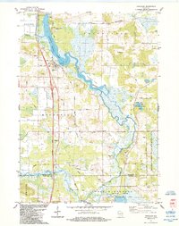
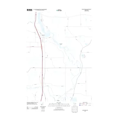
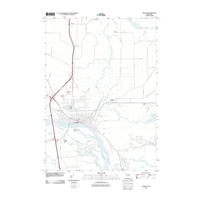 2010 Portage2010 Print · USGSCovers Fort Winnebago, including Portage, Lewiston, and other nearby areas
 - 2010 Map of Endeavor, 2010 Print
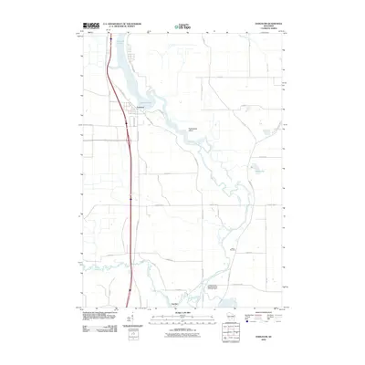 2010 Endeavor2010 Print · USGSCovers Fort Winnebago, including Packwaukee, Lewiston, and other nearby areas
 - 2010 Map of Pardeeville, 2010 Print
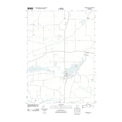 2010 Pardeeville2010 Print · USGSCovers Fort Winnebago, including Pardeeville, Marcellon, and other nearby areas
 - 2010 Map of Observatory Hill, 2010 Print
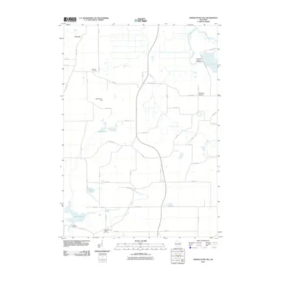 2010 Observatory Hill2010 Print · USGSCovers Fort Winnebago, including Packwaukee, Marcellon, and other nearby areas
 - 2013 Map of Observatory Hill, 2013 Print
 2013 Observatory Hill2013 Print · USGSCovers Fort Winnebago, including Packwaukee, Marcellon, and other nearby areas
 - 2013 Map of Endeavor, 2013 Print
 2013 Endeavor2013 Print · USGSCovers Fort Winnebago, including Packwaukee, Lewiston, and other nearby areas
 - 2013 Map of Portage, 2013 Print
 2013 Portage2013 Print · USGSCovers Fort Winnebago, including Portage, Lewiston, and other nearby areas
 - 2013 Map of Pardeeville, 2013 Print
 2013 Pardeeville2013 Print · USGSCovers Fort Winnebago, including Pardeeville, Marcellon, and other nearby areas
 - 2016 Map of Observatory Hill, 2016 Print
 2016 Observatory Hill2016 Print · USGSCovers Fort Winnebago, including Packwaukee, Marcellon, and other nearby areas
 - 2016 Map of Pardeeville, 2016 Print
 2016 Pardeeville2016 Print · USGSCovers Fort Winnebago, including Pardeeville, Marcellon, and other nearby areas
 - 2016 Map of Endeavor, 2016 Print
 2016 Endeavor2016 Print · USGSCovers Fort Winnebago, including Packwaukee, Lewiston, and other nearby areas
 - 2016 Map of Portage, 2016 Print
 2016 Portage2016 Print · USGSCovers Fort Winnebago, including Portage, Lewiston, and other nearby areas
 - 2018 Map of Observatory Hill, 2018 Print
 2018 Observatory Hill2018 Print · USGSCovers Fort Winnebago, including Packwaukee, Marcellon, and other nearby areas
 - 2018 Map of Pardeeville, 2018 Print
 2018 Pardeeville2018 Print · USGSCovers Fort Winnebago, including Pardeeville, Marcellon, and other nearby areas
 - 2018 Map of Portage, 2018 Print
 2018 Portage2018 Print · USGSCovers Fort Winnebago, including Portage, Lewiston, and other nearby areas
Showing maps 1-25 of 30
Top cities near Fort Winnebago
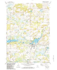
- Portage historical maps
- Poynette historical maps
- Dekorra historical maps
- Pardeeville historical maps
- Montello historical maps
- Packwaukee historical maps
See more
Top neighborhoods of Fort Winnebago
Frequently asked questions
- What are the different types of historical maps available for Fort Winnebago?
- What is the oldest map of Fort Winnebago?
- Where can I purchase historical maps of Fort Winnebago for my home or office?
- Where can I download high-res historical maps of Fort Winnebago?
- Are there historical topographic maps available for Fort Winnebago?
- Is there historical aerial imagery available for Fort Winnebago?
- Where are historical maps of Fort Winnebago sourced from?