2000s (21st Century) Maps of Marcellon, Wisconsin
Explore 20 historic maps of Marcellon from the 2000s (21st Century). These maps offer a rare glimpse into what life looked like during the 2000s — showing old roads, neighborhoods, homes, and landmarks that have changed or disappeared over time.
Whether you're researching your family's past, planning a metal detecting trip, or studying how Marcellon's landscape evolved across the 2000s, these high-resolution maps are a powerful tool for exploring the history of this region.
- Focus on a specific era: All maps on this page are from the 2000s, giving you a focused view of this time period.
- See what’s changed: Compare century-old streets, trails, and buildings to today's modern landscape using overlays and satellite layers.
- Research with precision: Use these maps for genealogy, historical research, land use analysis, or educational projects.
- View, download, or print: Maps are fully viewable online in high resolution, and can be downloaded or printed for your own records.
Start exploring Marcellon's history through authentic maps from the 2000s. This is your window into the past.
Marcellon, WI maps
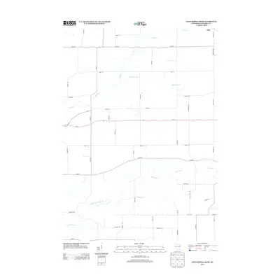
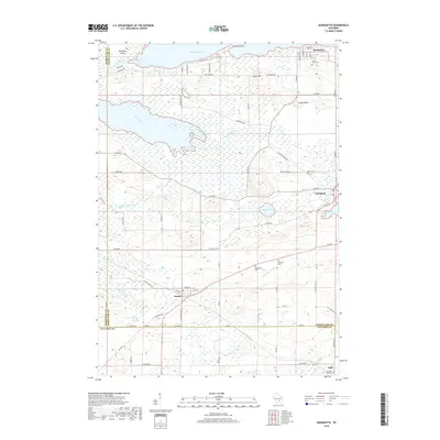
(20)- 2010 Map of Marquette, 2010 Print
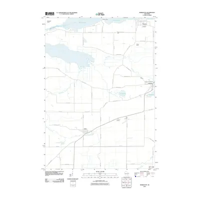 2010 Marquette2010 Print · USGSCovers Marcellon, including Manchester, Marquette, and other nearby areas
 - 2010 Map of Sand Spring Creek, 2010 Print
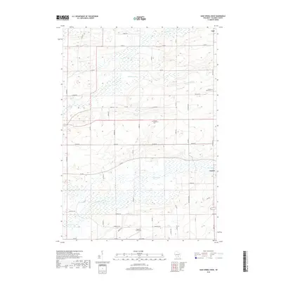
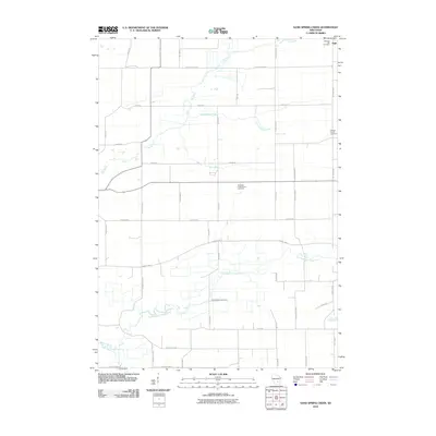 2010 Sand Spring Creek2010 Print · USGSCovers Marcellon, including Cambria, Scott, and other nearby areas
 - 2010 Map of Pardeeville, 2010 Print
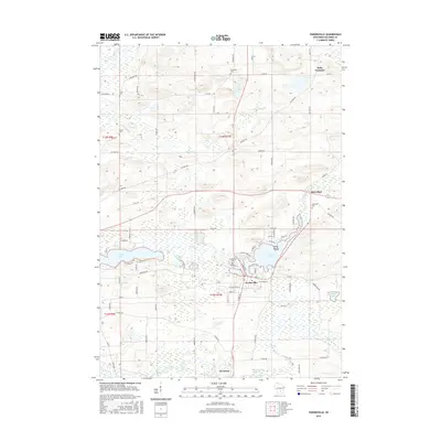
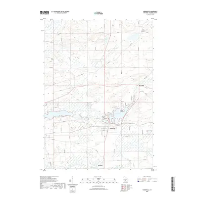
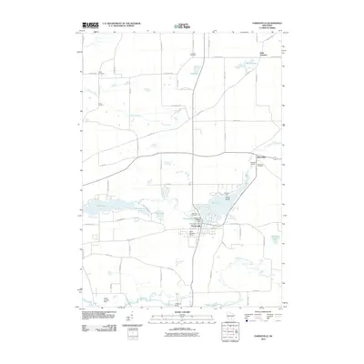 2010 Pardeeville2010 Print · USGSCovers Marcellon, including Pardeeville, Wyocena, and other nearby areas
 - 2010 Map of Observatory Hill, 2010 Print
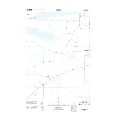
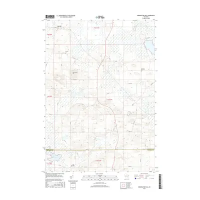
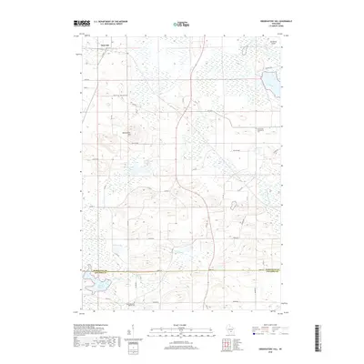
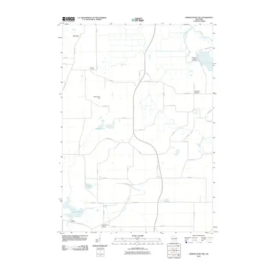 2010 Observatory Hill2010 Print · USGSCovers Marcellon, including Packwaukee, Montello, and other nearby areas
 - 2013 Map of Sand Spring Creek, 2013 Print
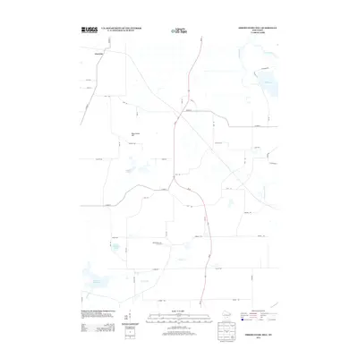
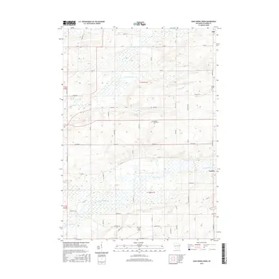
 2013 Sand Spring Creek2013 Print · USGSCovers Marcellon, including Cambria, Scott, and other nearby areas
 - 2013 Map of Marquette, 2013 Print
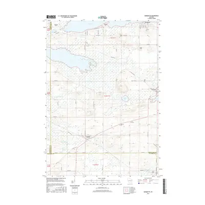
 2013 Marquette2013 Print · USGSCovers Marcellon, including Manchester, Marquette, and other nearby areas
 - 2013 Map of Observatory Hill, 2013 Print
 2013 Observatory Hill2013 Print · USGSCovers Marcellon, including Packwaukee, Montello, and other nearby areas
 - 2013 Map of Pardeeville, 2013 Print
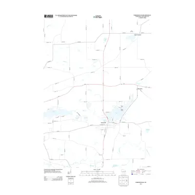 2013 Pardeeville2013 Print · USGSCovers Marcellon, including Pardeeville, Wyocena, and other nearby areas
 - 2016 Map of Observatory Hill, 2016 Print
 2016 Observatory Hill2016 Print · USGSCovers Marcellon, including Packwaukee, Montello, and other nearby areas
 - 2016 Map of Pardeeville, 2016 Print
 2016 Pardeeville2016 Print · USGSCovers Marcellon, including Pardeeville, Wyocena, and other nearby areas
 - 2016 Map of Marquette, 2016 Print
 2016 Marquette2016 Print · USGSCovers Marcellon, including Manchester, Marquette, and other nearby areas
 - 2016 Map of Sand Spring Creek, 2016 Print
 2016 Sand Spring Creek2016 Print · USGSCovers Marcellon, including Cambria, Scott, and other nearby areas
 - 2018 Map of Marquette, 2018 Print
 2018 Marquette2018 Print · USGSCovers Marcellon, including Manchester, Marquette, and other nearby areas
 - 2018 Map of Observatory Hill, 2018 Print
 2018 Observatory Hill2018 Print · USGSCovers Marcellon, including Packwaukee, Montello, and other nearby areas
 - 2018 Map of Pardeeville, 2018 Print
 2018 Pardeeville2018 Print · USGSCovers Marcellon, including Pardeeville, Wyocena, and other nearby areas
 - 2018 Map of Sand Spring Creek, 2018 Print
 2018 Sand Spring Creek2018 Print · USGSCovers Marcellon, including Cambria, Scott, and other nearby areas
 - 2022 Map of Pardeeville, 2022 Print
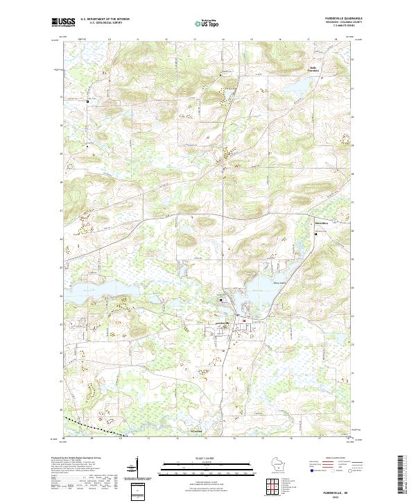 2022 Pardeeville2022 Print · USGSColumbia County’s glaciated terrain and river networks are preserved here in the early twenty-first century. Researchers can locate family sites near Marcellon Cemetery or trace the early paths of Military Road and the banks of Swan Lake.
 - 2022 Map of Marquette, 2022 Print
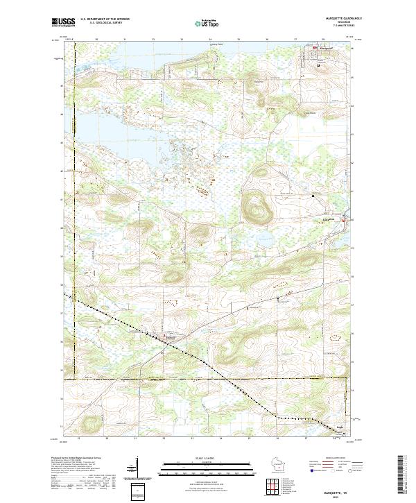 2022 Marquette2022 Print · USGSGreen Lake County at the start of the 2020s shows a landscape still deeply tied to its river and lake geography. You can trace old family names and sites at Grand View Cem or Greenwood Cem while exploring the banks of Puckaway Lake and Grand River.
 - 2022 Map of Observatory Hill, 2022 Print
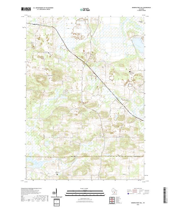 2022 Observatory Hill2022 Print · USGSThe Marquette and Columbia county line comes alive in the early 2020s, showing a rural landscape of glacial hills and river valleys. Genealogists can locate family sites at Oak Lawn Cem or North Marcellon Cem while tracing the Fox River shoreline.
 - 2022 Map of Sand Spring Creek, 2022 Print
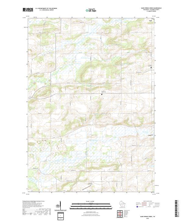 2022 Sand Spring Creek2022 Print · USGSColumbia County at the turn of the 2020s shows a landscape defined by the winding Fox River and extensive marshlands. Family historians can trace local landmarks like Portage Prairie Cem and Rosedale Presbyterian Cem or the rural outskirts of Cambria.
End of results
Showing maps 1-20 of 20
Top cities near Marcellon
- Portage historical maps
- Poynette historical maps
- Dekorra historical maps
- Pardeeville historical maps
- Montello historical maps
- Packwaukee historical maps
See more
Top neighborhoods of Marcellon
Frequently asked questions
- What are the different types of historical maps available for Marcellon?
- What is the oldest map of Marcellon?
- Where can I purchase historical maps of Marcellon for my home or office?
- Where can I download high-res historical maps of Marcellon?
- Are there historical topographic maps available for Marcellon?
- Is there historical aerial imagery available for Marcellon?
- Where are historical maps of Marcellon sourced from?