Old Maps of Marcellon, Wisconsin for Academic Research
Study the evolution of Marcellon with 31 high-resolution historic maps. Whether you're teaching, researching, or modeling changes in land use, these maps provide essential visual documentation of urban, environmental, and geographic change.
- Analyze long-term change: Track patterns in development, transportation, and natural features.
- Ideal for environmental or urban studies: Support academic projects with primary historical map data.
- Use in the classroom or lab: Educators and researchers rely on these maps to bring historical context to life.
These maps are a powerful tool for teaching, research, and visualizing how Marcellon has changed over the decades.
Marcellon, WI maps
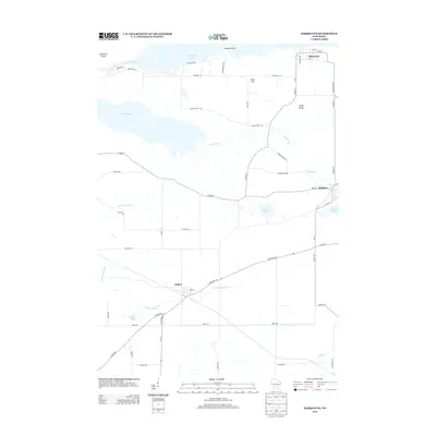
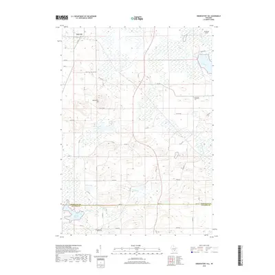
(31)- 1902 Map of Portage
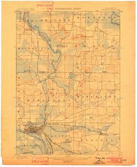 1902 Portage1902 Print · USGSPortage and the surrounding marshlands of Columbia County appear here at the turn of the century, centered on the strategic divide between the Wisconsin River and Fox River. Genealogists and rail historians can trace the early footprints of Portage, the canal-era site of Fort Hope, and rural communities like Pardeeville and Marcellon.3 unique versions available
 - 1955 Map of Randolph, 1956 Print
 1955 Randolph1956 Print · USGSDodge and Columbia counties are seen here in the mid-fifties, dominated by prairie farming and the rail lines connecting towns like Friesland and Cambria. Researchers can trace the heritage of rural education and faith through sites like Penrhos Sch and Rosedale Ch.2 unique versions available
 - 1957 Map of Madison, 1967 Print
 1957 Madison1967 Print · USGSSouth-central Wisconsin in the mid-fifties reveals a landscape of industrial hubs and glacial lakes linked by a dense rail and highway network. Genealogists and historians can trace the development of lakeside communities and find notable sites like Badger Ordnance Works and the Horicon National Wildlife Refuge.3 unique versions available
 - 1960 Map of Madison
 1960 Madison1960 Print · USGSCentral and Southern Wisconsin are captured in the late fifties, showing the region as its rail-and-river network matured. Trace the paths of the Soo Line RR or locate family roots near Lake Mendota and Horicon National Wildlife Refuge.2 unique versions available
 - 1962 Map of Portage, 1964 Print
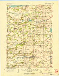
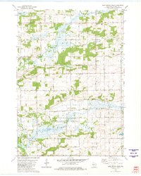
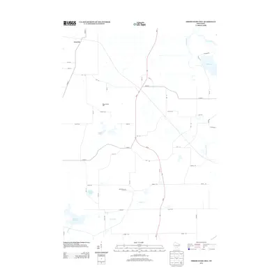
 1962 Portage1964 Print · USGSPortage and its surrounding river country are captured here in the early sixties, showing the vital connection between the Fox and Wisconsin Rivers. Genealogists can trace family roots through the Old Fort Winnebago Cem and rural settlements like Marcellon and Endeavor.
 - 1980 Map of Marquette, 1981 Print
 1980 Marquette1981 Print · USGSGreen Lake County at the start of the eighties shows a landscape of expansive wetlands and small railway villages. Genealogists can trace family names and local landmarks like Grand View Cem, the Salem Ch, and the Chicago and North Western rail line.
 - 1980 Map of Sand Spring Creek, 1981 Print
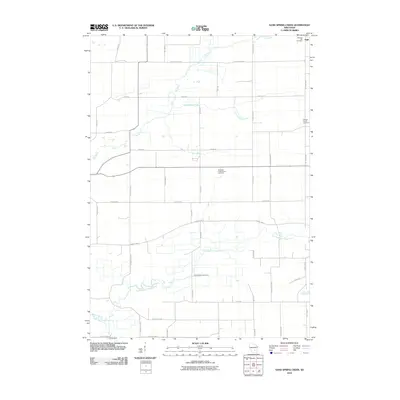
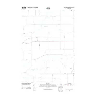
 1980 Sand Spring Creek1981 Print · USGSColumbia County’s rural townships are shown in the early 1980s as the landscape transitions from the Fox River marshes to productive farmland. Genealogists and local historians can trace family road names and locate the Portage Prairie Cem or the Rosedale Ch along the Chicago Milwaukee St Paul and Pacific line.
 - 1984 Map of Observatory Hill
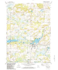
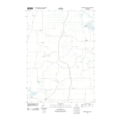
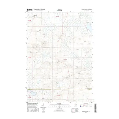
 1984 Observatory Hill1984 Print · USGSMarquette and Columbia counties are captured here in the mid-1980s, where rural township life meets significant wildlife conservation lands. Researchers can trace historical footprints along the Indian Treaty Boundary or locate family sites like Log Cabin Sch and Oak Lawn Cem.
 - 1984 Map of Pardeeville
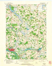
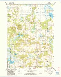
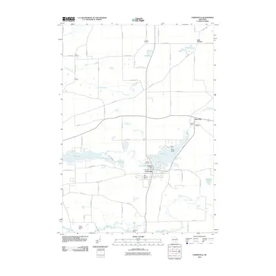
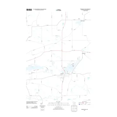
 1984 Pardeeville1984 Print · USGSMid-century Columbia County reveals a landscape shaped by glacial waters and early Wisconsin history. Genealogists and local historians can trace family roots at Comstock Cemetery, locate the Marcellon School, or follow the historic INDIAN TREATY BOUNDARY.
 - 1985 Map of Wisconsin Dells
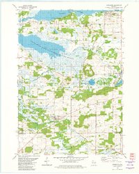
 1985 Wisconsin Dells1985 Print · USGSCentral Wisconsin in the mid-eighties was a landscape of intricate river bends, rail junctions, and sprawling marshlands. Researchers can trace historic routes along the Soo Line or locate family landmarks near Lyndon Station, Buffalo Lake, and Puckaway Lake.
 - 1990 Map of Wisconsin Dells, 1991 Print
 1990 Wisconsin Dells1991 Print · USGSCentral Wisconsin's river valleys and lake country are captured in detail here during the late twentieth century. Researchers can trace the rail-and-water geography connecting Wisconsin Dells and Portage with landmarks like Blackhawk Island and Buffalo Lake.
 - 2010 Map of Marquette, 2010 Print
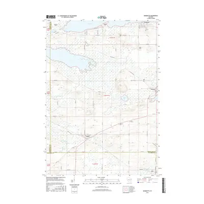
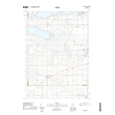
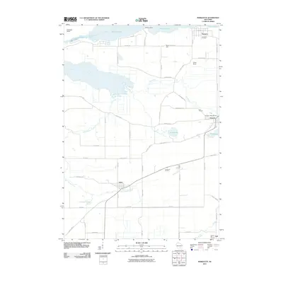 2010 Marquette2010 Print · USGSCovers Marcellon, including Manchester, Marquette, and other nearby areas
 - 2010 Map of Sand Spring Creek, 2010 Print
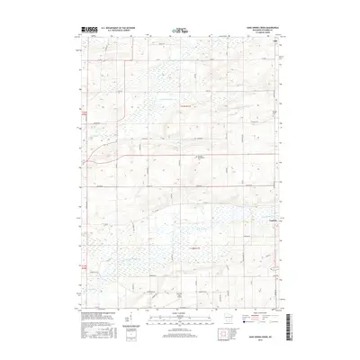
 2010 Sand Spring Creek2010 Print · USGSCovers Marcellon, including Cambria, Scott, and other nearby areas
 - 2010 Map of Pardeeville, 2010 Print
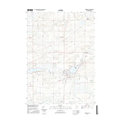
 2010 Pardeeville2010 Print · USGSCovers Marcellon, including Pardeeville, Wyocena, and other nearby areas
 - 2010 Map of Observatory Hill, 2010 Print
 2010 Observatory Hill2010 Print · USGSCovers Marcellon, including Packwaukee, Montello, and other nearby areas
 - 2013 Map of Sand Spring Creek, 2013 Print
 2013 Sand Spring Creek2013 Print · USGSCovers Marcellon, including Cambria, Scott, and other nearby areas
 - 2013 Map of Marquette, 2013 Print
 2013 Marquette2013 Print · USGSCovers Marcellon, including Manchester, Marquette, and other nearby areas
 - 2013 Map of Observatory Hill, 2013 Print
 2013 Observatory Hill2013 Print · USGSCovers Marcellon, including Packwaukee, Montello, and other nearby areas
 - 2013 Map of Pardeeville, 2013 Print
 2013 Pardeeville2013 Print · USGSCovers Marcellon, including Pardeeville, Wyocena, and other nearby areas
 - 2016 Map of Observatory Hill, 2016 Print
 2016 Observatory Hill2016 Print · USGSCovers Marcellon, including Packwaukee, Montello, and other nearby areas
 - 2016 Map of Pardeeville, 2016 Print
 2016 Pardeeville2016 Print · USGSCovers Marcellon, including Pardeeville, Wyocena, and other nearby areas
 - 2016 Map of Marquette, 2016 Print
 2016 Marquette2016 Print · USGSCovers Marcellon, including Manchester, Marquette, and other nearby areas
 - 2016 Map of Sand Spring Creek, 2016 Print
 2016 Sand Spring Creek2016 Print · USGSCovers Marcellon, including Cambria, Scott, and other nearby areas
 - 2018 Map of Marquette, 2018 Print
 2018 Marquette2018 Print · USGSCovers Marcellon, including Manchester, Marquette, and other nearby areas
 - 2018 Map of Observatory Hill, 2018 Print
 2018 Observatory Hill2018 Print · USGSCovers Marcellon, including Packwaukee, Montello, and other nearby areas
Showing maps 1-25 of 31
Top cities near Marcellon
- Portage historical maps
- Poynette historical maps
- Dekorra historical maps
- Pardeeville historical maps
- Montello historical maps
- Packwaukee historical maps
See more
Top neighborhoods of Marcellon
Frequently asked questions
- What are the different types of historical maps available for Marcellon?
- What is the oldest map of Marcellon?
- Where can I purchase historical maps of Marcellon for my home or office?
- Where can I download high-res historical maps of Marcellon?
- Are there historical topographic maps available for Marcellon?
- Is there historical aerial imagery available for Marcellon?
- Where are historical maps of Marcellon sourced from?