Old Maps of Daleyville, Perry for Hiking & Exploration
Hike through history with 13 historic maps of Daleyville. Explore old trails, ghost towns, and forgotten backroads — perfect for outdoor adventurers and local explorers.
- Rediscover forgotten places: Map out old mining camps, roads, and footpaths that no longer exist on modern maps.
- Layer with modern tools: Combine with LiDAR or satellite views to plan hikes through historical terrain.
- Made for exploration: Popular among hikers, overlanders, and local history lovers.
Use these maps to find adventure and explore the hidden past of Daleyville.
Daleyville, Perry maps
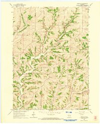
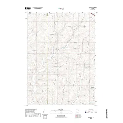
(13)- 1923 Map of Blanchardville
 1923 Blanchardville1923 Print · USGSThe Driftless Area of southwest Wisconsin comes alive in the early 1920s, showing a landscape defined by the Pecatonica River and early rail lines. Genealogists can locate dozens of rural landmarks, from the York Churches to schools like Lukken School and Arneson School.2 unique versions available
 - 1954 Map of Rockford
 1954 Rockford1954 Print · USGSThe Rock River valley and the Illinois-Wisconsin borderlands are captured here in the mid-1950s during a period of robust industrial and agricultural activity. Genealogists and historians can trace rail-era corridors like the Illinois Central RR and locate landmarks from Big Foot Prairie to Lake Geneva.
 - 1955 Map of Rockford
 1955 Rockford1955 Print · USGSThe Rock River valley and southern Wisconsin dairy country are shown here in the mid-fifties as the region's manufacturing centers grew. Genealogists and historians can trace the paths of the Chicago and North Western RR and Illinois Central RR through hubs like Rockford and Beloit.
 - 1958 Map of Rockford, 1974 Print
 1958 Rockford1974 Print · USGSNorthern Illinois and southern Wisconsin are shown here in the mid-twentieth century as rail-dependent industrial towns began to interface with growing lakefront communities. Genealogists can trace family roots through settlements like Saylesville and Tess Corners or locate historical landmarks like the Rockford Ordnance Depot.4 unique versions available
 - 1962 Map of Blanchardville, 1964 Print
 1962 Blanchardville1964 Print · USGSSouthern Wisconsin's rolling uplands and river valleys are captured here in the early sixties, showing the vital rail-and-river connection at Blanchardville. Researchers can trace rural life through dozens of local landmarks like the Moscow Center School, Yellowstone Church, and the newly created Yellowstone Lake.
 - 1962 Map of Daleyville, 1964 Print
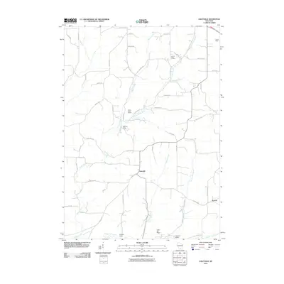
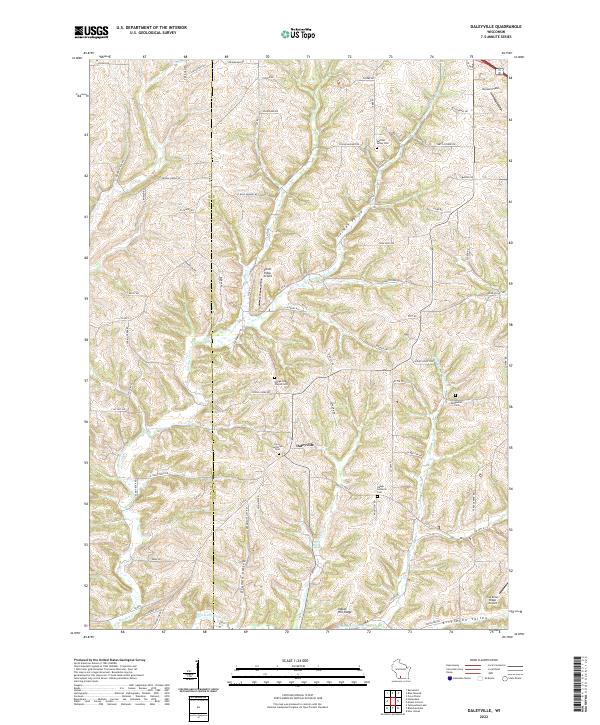
 1962 Daleyville1964 Print · USGSWisconsin's rural dairy country in the early sixties is captured here along the border of Iowa and Dane counties. Genealogists can trace family footprints through a dense network of country schools and churches, including Ruste Sch, Hauge Ch, and Forward Sch.
 - 1963 Map of Rockford
 1963 Rockford1963 Print · USGSThe mid-century industrial corridor along the Rock River is shown here during a period of rapid post-war growth. Researchers can trace the extensive rail lines of the Chicago and North Western or locate local landmarks like the Rockford Ordnance Depot and Holy Hill.
 - 1981 Map of Monroe
 1981 Monroe1981 Print · USGSSouthern Wisconsin and the Illinois borderlands come into focus in the early 1980s, showcasing a landscape defined by dairy farming and river valleys. Genealogists can trace family roots through historic hubs like Monroe, Stoughton, and Brodhead, or locate regional landmarks such as Yellowstone Lake and the Sugar River.
 - 2010 Map of Daleyville, 2010 Print
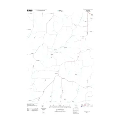
 2010 Daleyville2010 Print · USGSCovers Daleyville, including Mount Horeb, Perry, and other nearby areas
 - 2013 Map of Daleyville, 2013 Print
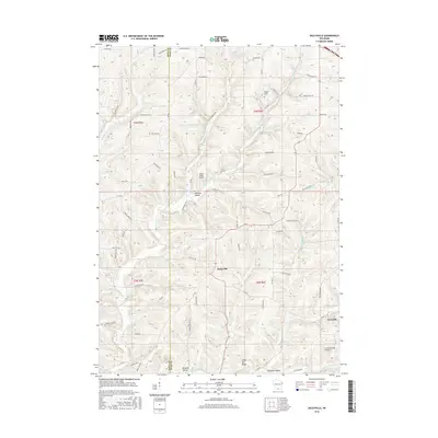
 2013 Daleyville2013 Print · USGSCovers Daleyville, including Mount Horeb, Perry, and other nearby areas
 - 2016 Map of Daleyville, 2016 Print
 2016 Daleyville2016 Print · USGSCovers Daleyville, including Mount Horeb, Perry, and other nearby areas
 - 2018 Map of Daleyville, 2018 Print
 2018 Daleyville2018 Print · USGSCovers Daleyville, including Mount Horeb, Perry, and other nearby areas
 - 2022 Map of Daleyville, 2022 Print
 2022 Daleyville2022 Print · USGSThe rural landscape of western Dane County is captured in the early twenty-first century, centered on the settlement of Daleyville. Genealogists can trace family heritage through local landmarks like Perry Lutheran Cem, German Valley Cem, and Indian Hill Ridge.
End of results
Showing maps 1-13 of 13
Top cities near Daleyville
- Mount Horeb historical maps
- Cross Plains historical maps
- New Glarus historical maps
- Town of Springdale historical maps
- Exeter historical maps
- Black Earth historical maps
See more
Frequently asked questions
- What are the different types of historical maps available for Daleyville?
- What is the oldest map of Daleyville?
- Where can I purchase historical maps of Daleyville for my home or office?
- Where can I download high-res historical maps of Daleyville?
- Are there historical topographic maps available for Daleyville?
- Is there historical aerial imagery available for Daleyville?
- Where are historical maps of Daleyville sourced from?