2020s Maps of Roxbury, Wisconsin
Explore 4 historic maps of Roxbury from the 2020s. These maps offer a rare glimpse into what life looked like during the 2020s — showing old roads, neighborhoods, homes, and landmarks that have changed or disappeared over time.
Whether you're researching your family's past, planning a metal detecting trip, or studying how Roxbury's landscape evolved across the 2020s, these high-resolution maps are a powerful tool for exploring the history of this region.
- Focus on a specific era: All maps on this page are from the 2020s, giving you a focused view of this time period.
- See what’s changed: Compare century-old streets, trails, and buildings to today's modern landscape using overlays and satellite layers.
- Research with precision: Use these maps for genealogy, historical research, land use analysis, or educational projects.
- View, download, or print: Maps are fully viewable online in high resolution, and can be downloaded or printed for your own records.
Start exploring Roxbury's history through authentic maps from the 2020s. This is your window into the past.
Roxbury, WI maps
(4)- 2022 Map of Black Earth, 2022 Print
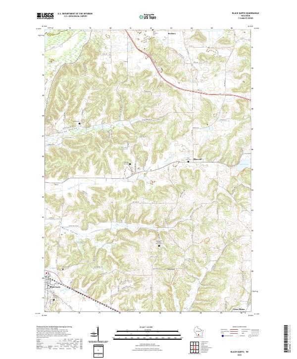 2022 Black Earth2022 Print · USGSThe rural uplands of Dane County come to life in this contemporary survey of the hills between Black Earth and Roxbury. Genealogists can locate numerous local burial sites including Oak Hill Cem and Saint Paul Cem, or trace the path of the Ice Age National Scenic Trl near Table Bluff.
 - 2022 Map of Springfield Corners, 2022 Print
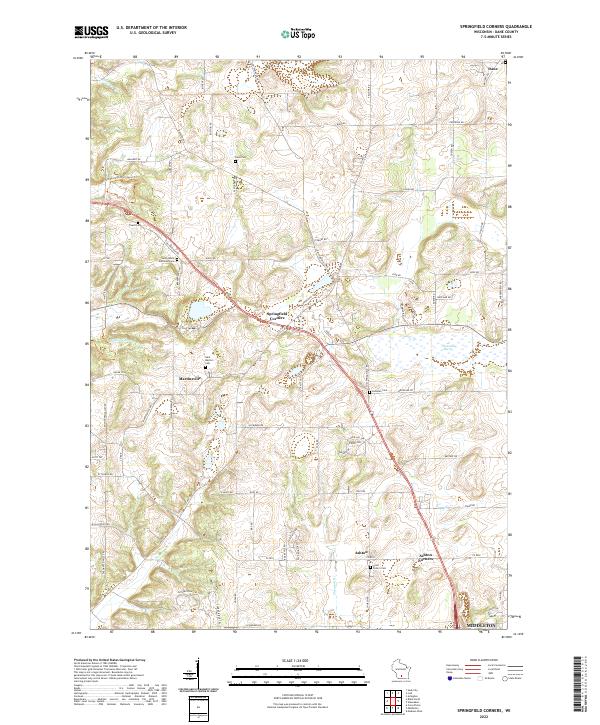 2022 Springfield Corners2022 Print · USGSNorthwest of Madison in the early 2020s, this area maintains its character through historic hamlets and generational churchyards. Genealogists can trace family names at Saint Peter's Cem and Kohlman Cem near the wetlands of Waunakee Marsh.
 - 2022 Map of Lodi, 2022 Print
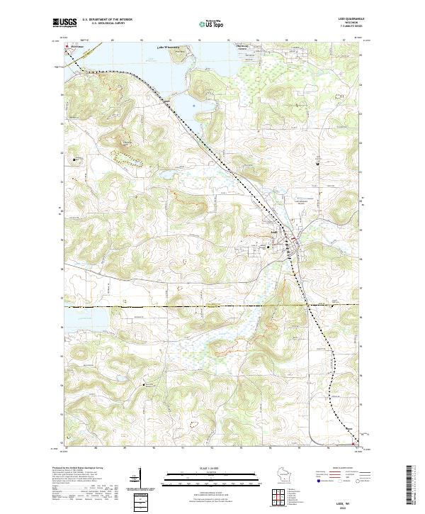 2022 Lodi2022 Print · USGSThe glacier-carved landscape of Columbia and Dane Counties is captured here in the early twenty-first century, centered on the historic river town of Lodi. Genealogists and hikers can trace the Ice Age National Scenic Trl past landmarks like Gibraltar Rock and Saint Patrick's Cem.
 - 2022 Map of Sauk City, 2022 Print
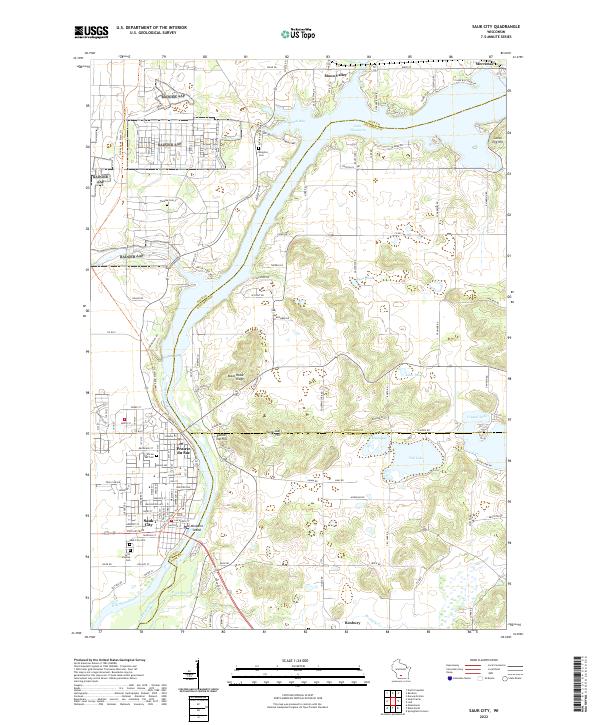 2022 Sauk City2022 Print · USGSThe twin communities of Sauk City and Prairie du Sac are captured here as they appeared recently along the Wisconsin River. Genealogists and local historians can trace family locations through several burial grounds like Thoelke Cem and the Sauk City Cem.
End of results
Showing maps 1-4 of 4
Top cities near Roxbury
- Madison historical maps
- Fitchburg historical maps
- Middleton historical maps
- Waunakee historical maps
- Baraboo historical maps
- Cross Plains historical maps
See more
Top neighborhoods of Roxbury
- Lutheran Hill historical maps
- Aldens Corners historical maps
- Town of Roxbury historical maps
- Black Hawk Fields historical maps
Frequently asked questions
- What are the different types of historical maps available for Roxbury?
- What is the oldest map of Roxbury?
- Where can I purchase historical maps of Roxbury for my home or office?
- Where can I download high-res historical maps of Roxbury?
- Are there historical topographic maps available for Roxbury?
- Is there historical aerial imagery available for Roxbury?
- Where are historical maps of Roxbury sourced from?