Old Maps of Roxbury, Wisconsin for Academic Research
Study the evolution of Roxbury with 35 high-resolution historic maps. Whether you're teaching, researching, or modeling changes in land use, these maps provide essential visual documentation of urban, environmental, and geographic change.
- Analyze long-term change: Track patterns in development, transportation, and natural features.
- Ideal for environmental or urban studies: Support academic projects with primary historical map data.
- Use in the classroom or lab: Educators and researchers rely on these maps to bring historical context to life.
These maps are a powerful tool for teaching, research, and visualizing how Roxbury has changed over the decades.
Roxbury, WI maps
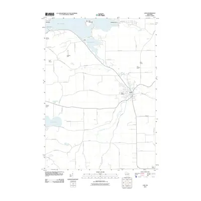
(35)- 1895 Map of Baraboo
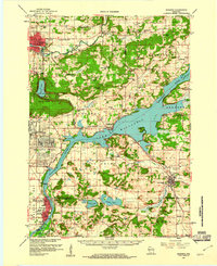
 1895 Baraboo1895 Print · USGSSauk and Columbia counties meet along the winding river corridor during this late Victorian era of rail expansion and river commerce. Genealogists and local historians can trace old homesteads and rail stops through Merrimac, Okee, and Lodi while exploring the early footprints of Baraboo.9 unique versions available
 - 1907 Map of Cross Plains, 1960 Print
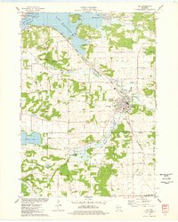
 1907 Cross Plains1960 Print · USGSWestern Dane County comes to life in this early 1900s survey, showing the transition from the rolling prairie to the driftless hills. Genealogists can trace family roots through historic junctions and rural centers like Marxville, Pine Bluff, and Ashton Church.
 - 1908 Map of Baraboo
 1908 Baraboo1908 Print · USGSSauk and Columbia counties at the close of the nineteenth century reveal a landscape shaped by the Wisconsin River and early rail expansion. Trace the rail lines through Baraboo and Lodi, or locate old river landings near Merrimac and Sauk.
 - 1909 Map of Cross Plains
 1909 Cross Plains1909 Print · USGSDane County at the turn of the century shows a bustling corridor of rail-side towns and rural townships. Trace the early development of Mt Horeb, Cross Plains, and Middleton Junction alongside landmarks like Ashton Church and Richardson Cave.4 unique versions available
 - 1957 Map of Madison, 1967 Print
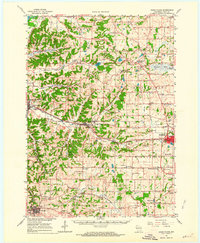
 1957 Madison1967 Print · USGSSouth-central Wisconsin in the mid-fifties reveals a landscape of industrial hubs and glacial lakes linked by a dense rail and highway network. Genealogists and historians can trace the development of lakeside communities and find notable sites like Badger Ordnance Works and the Horicon National Wildlife Refuge.3 unique versions available
 - 1959 Map of Baraboo, 1961 Print
 1959 Baraboo1961 Print · USGSThe Baraboo Range and the winding Wisconsin River meet in this late-fifties study of Sauk and Columbia counties. Researchers can locate rural landmarks like Man Mound, the massive Badger Ordnance Works, and the grounds of Devils Lake State Park.4 unique versions available
 - 1960 Map of Madison
 1960 Madison1960 Print · USGSCentral and Southern Wisconsin are captured in the late fifties, showing the region as its rail-and-river network matured. Trace the paths of the Soo Line RR or locate family roots near Lake Mendota and Horicon National Wildlife Refuge.2 unique versions available
 - 1962 Map of Cross Plains, 1964 Print
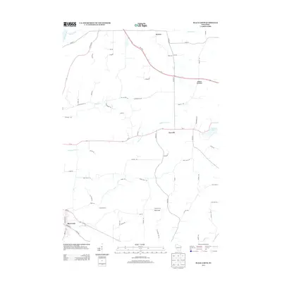
 1962 Cross Plains1964 Print · USGSWestern Dane County in the early sixties shows a landscape of deep valleys and rising ridges between Cross Plains and Mt Horeb. Genealogists and historians can trace family locations through numerous rural sites like St Marys Cem, Richardson Cave, and the Pine Bluff Observatory.2 unique versions available
 - 1962 Map of Black Earth, 1964 Print
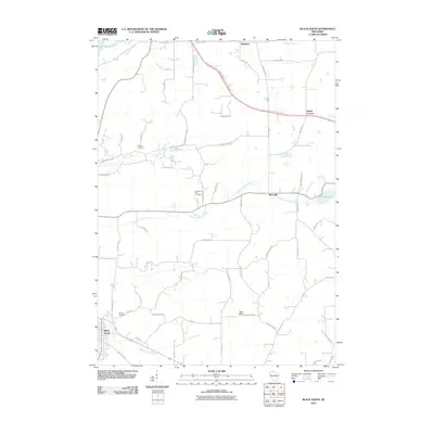
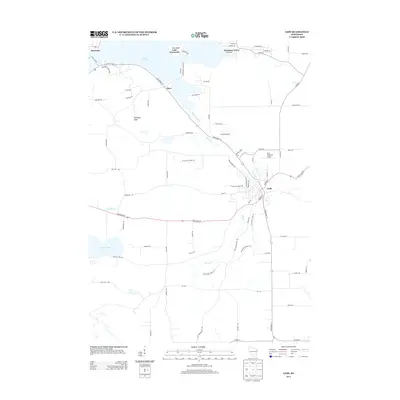
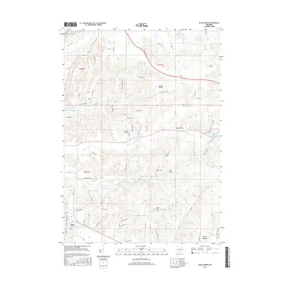
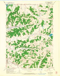 1962 Black Earth1964 Print · USGSDane County's ridge-and-valley landscape is documented here in the early sixties, showing the rural crossroads and rail corridors of the Driftless Area. You can locate family history at St Johns Ch or trace the old rail line near Black Earth and Table Bluff.2 unique versions available
 - 1962 Map of Springfield Corners, 1964 Print
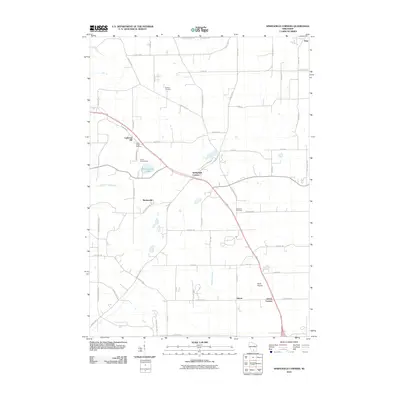
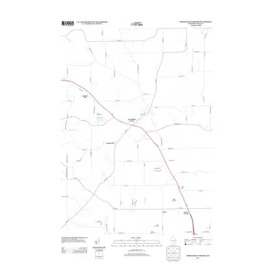
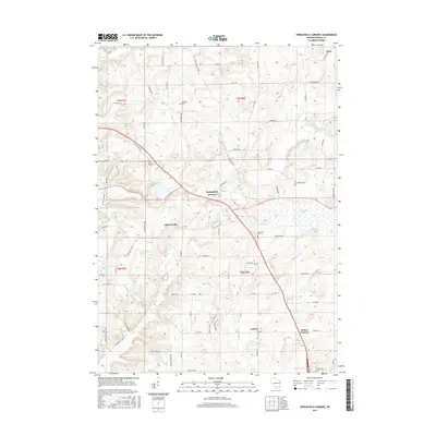
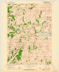 1962 Springfield Corners1964 Print · USGSThe rural landscapes of Dane County in the early sixties reveal a network of small farming hamlets and glacial marshlands. Genealogists can trace family names at St Johns Cem and Kohlman Cem or locate the rural Springfield Sch.2 unique versions available
 - 1974 Map of Baraboo SE, 1976 Print
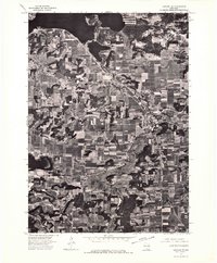 1974 Baraboo SE1976 Print · USGSThe river valley and surrounding farmsteads are captured in this mid-1970s aerial survey as the region balanced its rural roots with growing town centers. Researchers can trace the layout of Lodi and the shoreline of Lake Wisconsin during this era.
 - 1974 Map of Baraboo SW, 1976 Print
 1974 Baraboo SW1976 Print · USGSWisconsin riverfront life and mid-seventies agricultural patterns are frozen in time on this detailed orthophoto. Researchers can trace the street-level growth of Prairie Du Sac and the winding course of the Wisconsin River.
 - 1975 Map of Sauk City, 1978 Print
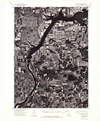
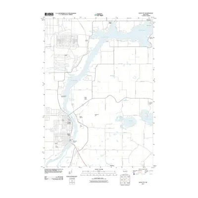
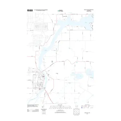
 1975 Sauk City1978 Print · USGSThe Wisconsin River valley in the mid-seventies shows a landscape shaped by military industry and rail transport. Researchers can trace the massive Badger Army Ammunition Plant or locate the village of Merrimac near the Wiegands Bay shoreline.
 - 1975 Map of Lodi, 1978 Print
 1975 Lodi1978 Print · USGSLodi and the surrounding glacial valley are captured in the mid-seventies, showing a landscape defined by the railroad and the widening Wisconsin River. Researchers can trace family-named homesteads along Reynolds Road or locate historic burial sites like St Patricks Cem and Garden Bluff Cem.
 - 1991 Map of Madison
 1991 Madison1991 Print · USGSMadison and its iconic glacial lakes are captured here during a time of steady urban expansion and regional growth. Researchers can trace the mid-century development of the University of Wisconsin, locate family sites near Forest Hill Cem, or explore the footprint of the Badger Army Ammunition Plant.
 - 2010 Map of Lodi, 2010 Print
 2010 Lodi2010 Print · USGSCovers Roxbury, including Lodi, Dane, and other nearby areas
 - 2010 Map of Sauk City, 2010 Print
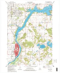
 2010 Sauk City2010 Print · USGSCovers Roxbury, including Prairie du Sac, Sauk City, and other nearby areas
 - 2010 Map of Black Earth, 2010 Print
 2010 Black Earth2010 Print · USGSCovers Roxbury, including Cross Plains, Town of Roxbury, and other nearby areas
 - 2010 Map of Springfield Corners, 2010 Print
 2010 Springfield Corners2010 Print · USGSCovers Roxbury, including Middleton, Town of Springfield, and other nearby areas
 - 2013 Map of Springfield Corners, 2013 Print
 2013 Springfield Corners2013 Print · USGSCovers Roxbury, including Middleton, Town of Springfield, and other nearby areas
 - 2013 Map of Lodi, 2013 Print
 2013 Lodi2013 Print · USGSCovers Roxbury, including Lodi, Dane, and other nearby areas
 - 2013 Map of Sauk City, 2013 Print
 2013 Sauk City2013 Print · USGSCovers Roxbury, including Prairie du Sac, Sauk City, and other nearby areas
 - 2013 Map of Black Earth, 2013 Print
 2013 Black Earth2013 Print · USGSCovers Roxbury, including Cross Plains, Town of Roxbury, and other nearby areas
 - 2016 Map of Springfield Corners, 2016 Print
 2016 Springfield Corners2016 Print · USGSCovers Roxbury, including Middleton, Town of Springfield, and other nearby areas
 - 2016 Map of Black Earth, 2016 Print
 2016 Black Earth2016 Print · USGSCovers Roxbury, including Cross Plains, Town of Roxbury, and other nearby areas
Showing maps 1-25 of 35
Top cities near Roxbury
- Madison historical maps
- Fitchburg historical maps
- Middleton historical maps
- Waunakee historical maps
- Baraboo historical maps
- Cross Plains historical maps
See more
Top neighborhoods of Roxbury
- Lutheran Hill historical maps
- Aldens Corners historical maps
- Town of Roxbury historical maps
- Black Hawk Fields historical maps
Frequently asked questions
- What are the different types of historical maps available for Roxbury?
- What is the oldest map of Roxbury?
- Where can I purchase historical maps of Roxbury for my home or office?
- Where can I download high-res historical maps of Roxbury?
- Are there historical topographic maps available for Roxbury?
- Is there historical aerial imagery available for Roxbury?
- Where are historical maps of Roxbury sourced from?