
1895 Map of Baraboo
USGS Topo · Published 1895About this map
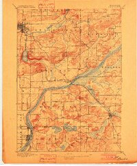
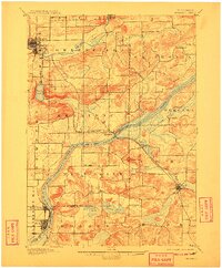
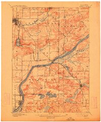
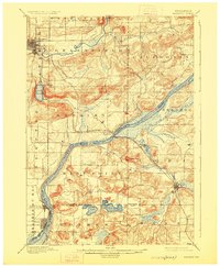
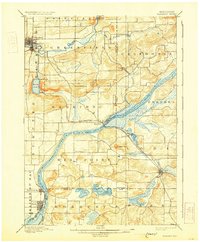
The Wisconsin River carves a sweeping path through the center of this landscape, separating the agricultural uplands of Merrimac and West Point from the eastern settlements. Surveyed shortly after the turn of the decade, the map shows the rail infrastructure critical to the region's late-19th-century economy. The Chicago and North Western Ry. crosses the river at Merrimac, while the C. M. and St. P. Ry. (Prairie du Sac Branch) terminates at Sauk and Prairie du Sac.
Find a feature on this map
41 named features on this map. Tap any name to fly to it.
Don’t see what you’re looking for? This feature index may not catch every label — zoom into the map to look around manually.
Map Details
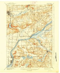
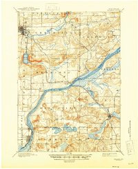
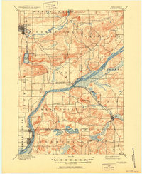
Editions of this 1895 Baraboo Map
9 editions found
Other maps of this area

1890 · Madison
USGS Topo · 1:62,500

1892 · Madison
USGS Topo · 1:62,500

1901 · Denzer
USGS Topo · 1:62,500

1901 · Poynette
USGS Topo · 1:62,500

1901 · The Dells
USGS Topo · 1:62,500

1902 · Portage
USGS Topo · 1:62,500

1902 · Briggsville
USGS Topo · 1:62,500

1904 · Madison
USGS Topo · 1:62,500

1906 · Madison
USGS Topo · 1:62,500

1907 · Cross Plains
USGS Topo · 1:62,500