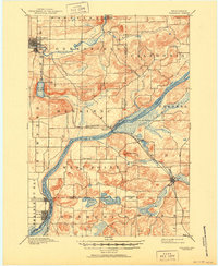
1895 Map of Baraboo
USGS Topo · Published 1951About this map
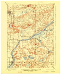
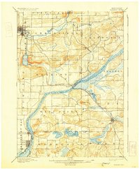
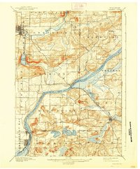
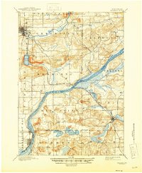
Wisconsin River currents dominate this late nineteenth-century landscape, carving a wide path through the central and southern portions of the region. To the north, the sharp relief of the Baraboo Narrows and the deep basin of Devils Lake showcase the area’s distinctive geology, long before modern recreational development altered the shoreline. The settlement of Baraboo is depicted as a growing industrial and civic hub in the northwest corner, while the Chicago and Northwestern R. R. serves as the primary artery for trade and travel, connecting river towns like Merrimac to the interior. Small hamlets and rural crossroads such as Farr Corners and Alloa reflect the agricultural layout of the time, with early township boundaries like Greenfield and West Point defining the social and political structure of the era. Prominent landmarks like Gibraltar Rock stand over the river valley, providing timeless reference points for researchers tracing early Sauk and Columbia County history.
Find a feature on this map
38 named features on this map. Tap any name to fly to it.
Don’t see what you’re looking for? This feature index may not catch every label — zoom into the map to look around manually.
Map Details
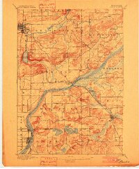
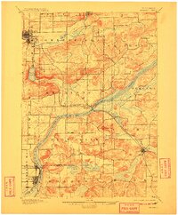
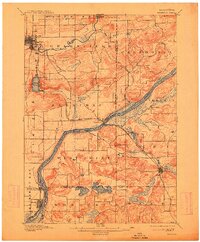
Editions of this 1895 Baraboo Map
9 editions found
Other maps of this area

1890 · Madison
USGS Topo · 1:62,500

1892 · Madison
USGS Topo · 1:62,500

1895 · Baraboo
USGS Topo · 1:62,500

1901 · Denzer
USGS Topo · 1:62,500

1901 · Poynette
USGS Topo · 1:62,500

1901 · The Dells
USGS Topo · 1:62,500

1902 · Portage
USGS Topo · 1:62,500

1902 · Briggsville
USGS Topo · 1:62,500

1904 · Madison
USGS Topo · 1:62,500

1906 · Madison
USGS Topo · 1:62,500