Loading...
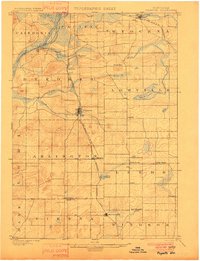
Loading map...1901 Map of Poynette
USGS Topo · Published 1901About this map
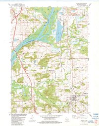
Poynette serves as a central hub in this turn-of-the-century portrait of Columbia and Dane counties, situated where the Chicago Milwaukee and St. Paul R. R. (Madison Portage Line) bisects the landscape. The western edge is defined by the broad curves of the Wisconsin River near Dekorra, while the surrounding prairie is dotted with small agricultural settlements like Arlington, Leeds, and North Leeds.
Find a feature on this map
34 named features on this map. Tap any name to fly to it.
Don’t see what you’re looking for? This feature index may not catch every label — zoom into the map to look around manually.
Map Details
Date Portrayed1901
Date Published1901
PublisherU.S. Geological Survey
Map TypeTopographic
Scale1:62,500
Physical Dimensions15.5 x 20.25 inches
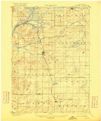
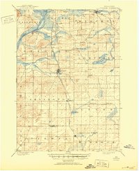
Editions of this 1901 Poynette Map
3 editions found
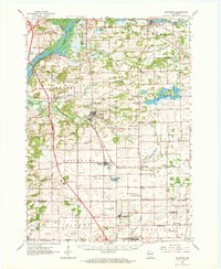
Historical Maps of DeForest Through Time
4 maps found
Featured Locations
Source Details
SourceU.S. Geological Survey
CopyrightPublic Domain