
1902 Map of Briggsville
USGS Topo · Published 1902About this map
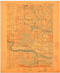
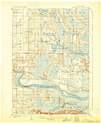
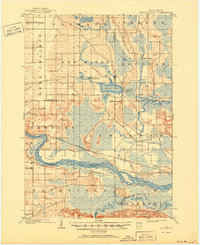
The Wisconsin River defines the lower third of this region at the start of the twentieth century, winding through a complex landscape of wetlands and river bottoms. The Chicago Milwaukee and St. Paul railroad cuts an east-west path across the center of the sheet, providing a vital link for settlements like Lewiston and Briggsville. This era was marked by significant water management efforts, evidenced by the presence of a Levee along the riverbanks to protect low-lying land in the township of Lewiston. North of the river, the terrain is dotted with substantial water bodies including Mason Lake and Jordan Lake, the latter featuring the small settlement of Lakeside. The map highlights the intersection of several county boundaries, including those of Adams, Marquette, Columbia, and Sauk, illustrating how these political lines often followed natural watercourses or surveyors' grids through areas like New Haven and Douglas.
Find a feature on this map
29 named features on this map. Tap any name to fly to it.
Don’t see what you’re looking for? This feature index may not catch every label — zoom into the map to look around manually.
Map Details
Editions of this 1902 Briggsville Map
4 editions found
Other maps of this area

1895 · Baraboo
USGS Topo · 1:62,500

1901 · Denzer
USGS Topo · 1:62,500

1901 · Poynette
USGS Topo · 1:62,500

1901 · The Dells
USGS Topo · 1:62,500

1902 · Portage
USGS Topo · 1:62,500

1908 · Baraboo
USGS Topo · 1:62,500

1957 · Wisconsin Dells
USGS Topo · 1:62,500

1957 · Madison
USGS Topo · 1:250,000

1958 · Briggsville
USGS Topo · 1:62,500

1958 · North Freedom
USGS Topo · 1:62,500